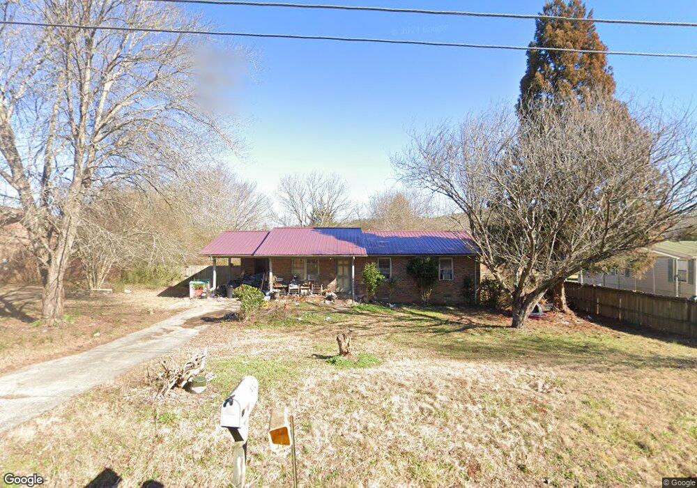
1289 Abrams Rd SE Silver Creek, GA 30173
Estimated Value: $165,568 - $233,000
--
Bed
--
Bath
1,157
Sq Ft
$166/Sq Ft
Est. Value
About This Home
This home is located at 1289 Abrams Rd SE, Silver Creek, GA 30173 and is currently estimated at $192,142, approximately $166 per square foot. 1289 Abrams Rd SE is a home located in Floyd County with nearby schools including Pepperell Middle School and Pepperell High School.
Ownership History
Date
Name
Owned For
Owner Type
Purchase Details
Closed on
Mar 7, 2025
Sold by
Staton Rosemary A
Bought by
Lakatos Ronda Sue
Current Estimated Value
Purchase Details
Closed on
Jun 16, 1986
Sold by
Farmers Home Administration
Bought by
Staton Rosemary
Purchase Details
Closed on
Nov 26, 1985
Sold by
Lary Patsy C
Bought by
Farmers Home Administration
Purchase Details
Closed on
Nov 5, 1982
Sold by
Morgan Jackson D
Bought by
Lary Patsy C
Purchase Details
Closed on
Apr 2, 1982
Bought by
Morgan Jackson D
Create a Home Valuation Report for This Property
The Home Valuation Report is an in-depth analysis detailing your home's value as well as a comparison with similar homes in the area
Home Values in the Area
Average Home Value in this Area
Purchase History
| Date | Buyer | Sale Price | Title Company |
|---|---|---|---|
| Lakatos Ronda Sue | -- | -- | |
| Staton Rosemary | $31,500 | -- | |
| Farmers Home Administration | $31,500 | -- | |
| Lary Patsy C | $36,400 | -- | |
| Morgan Jackson D | -- | -- |
Source: Public Records
Tax History Compared to Growth
Tax History
| Year | Tax Paid | Tax Assessment Tax Assessment Total Assessment is a certain percentage of the fair market value that is determined by local assessors to be the total taxable value of land and additions on the property. | Land | Improvement |
|---|---|---|---|---|
| 2024 | $2,080 | $63,578 | $4,664 | $58,914 |
| 2023 | $587 | $54,757 | $4,240 | $50,517 |
| 2022 | $187 | $39,674 | $3,392 | $36,282 |
| 2021 | $192 | $32,815 | $3,392 | $29,423 |
| 2020 | $195 | $26,938 | $2,544 | $24,394 |
| 2019 | $188 | $25,629 | $2,544 | $23,085 |
| 2018 | $188 | $24,268 | $2,544 | $21,724 |
| 2017 | $189 | $23,564 | $2,544 | $21,020 |
| 2016 | $191 | $23,156 | $2,520 | $20,636 |
| 2015 | $177 | $23,156 | $2,520 | $20,636 |
| 2014 | $177 | $23,156 | $2,520 | $20,636 |
Source: Public Records
Map
Nearby Homes
- 1337 Abrams Rd SE
- 2557 Wax Rd SE
- 52 Lloyd Dr SE
- 110 Williams Rd SE
- 12 Lakemont Dr SE
- 463 Compton Rd SE
- 344 Powell Rd SE
- 16 Hardin Dr SE
- 2011 Bailey Rd SE
- 1424 Harmony Rd SE
- 320 Brumbelow Rd
- 11 Lexington Ln SE
- 0 Powell Rd SE Unit 10606945
- 838 Pleasant Hope Rd SE
- 894 Wax Rd SE
- 00 John Kay Rd
- 119 Satcher Rd
- 0 John Kay Rd Unit 10497667
- 0 John Kay Rd Unit 22982738
- 0 John Kay Rd Unit 10451223
- 1301 Abrams Rd SE
- 1277 Abrams Rd SE Unit 1
- 1269 Abrams Rd SE
- 1259 Abrams Rd SE
- 1266 Abrams Rd SE
- 1310 Abrams Rd SE
- 1320 Abrams Rd SE
- 1247 Abrams Rd SE
- 1328 Abrams Rd SE
- 1237 Abrams Rd SE
- 1227 Abrams Rd SE
- 1332 Abrams Rd SE
- 1338 Abrams Rd SE
- 1383 Abrams Rd SE
- 1208 Abrams Rd SE
- 1192 Abrams Rd SE
- 1381 Abrams Rd SE
- 1191 Abrams Rd SE
- 1174 Abrams Rd SE
- 1405 Abrams Rd SE