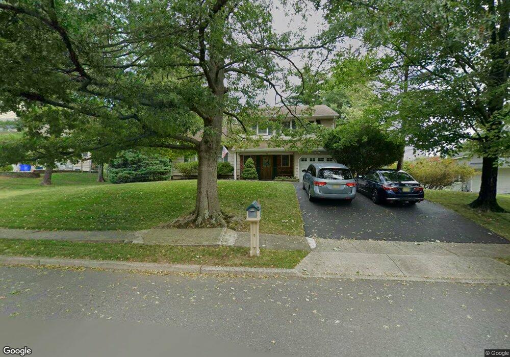
1289 Noah Rd North Brunswick, NJ 08902
Estimated Value: $623,000 - $689,000
--
Bed
--
Bath
2,104
Sq Ft
$311/Sq Ft
Est. Value
About This Home
This home is located at 1289 Noah Rd, North Brunswick, NJ 08902 and is currently estimated at $654,848, approximately $311 per square foot. 1289 Noah Rd is a home located in Middlesex County with nearby schools including John Adams Elementary School, Linwood Middle School, and North Brunswick Twp High School.
Ownership History
Date
Name
Owned For
Owner Type
Purchase Details
Closed on
Apr 14, 2004
Sold by
Maurer George
Bought by
Tuckman Daniel and Tuckman Sandra
Current Estimated Value
Home Financials for this Owner
Home Financials are based on the most recent Mortgage that was taken out on this home.
Original Mortgage
$333,700
Outstanding Balance
$154,951
Interest Rate
5.47%
Mortgage Type
Purchase Money Mortgage
Estimated Equity
$499,897
Create a Home Valuation Report for This Property
The Home Valuation Report is an in-depth analysis detailing your home's value as well as a comparison with similar homes in the area
Home Values in the Area
Average Home Value in this Area
Purchase History
| Date | Buyer | Sale Price | Title Company |
|---|---|---|---|
| Tuckman Daniel | $375,000 | -- |
Source: Public Records
Mortgage History
| Date | Status | Borrower | Loan Amount |
|---|---|---|---|
| Open | Tuckman Daniel | $333,700 |
Source: Public Records
Tax History Compared to Growth
Tax History
| Year | Tax Paid | Tax Assessment Tax Assessment Total Assessment is a certain percentage of the fair market value that is determined by local assessors to be the total taxable value of land and additions on the property. | Land | Improvement |
|---|---|---|---|---|
| 2025 | $11,728 | $185,100 | $72,800 | $112,300 |
| 2024 | $11,517 | $185,100 | $72,800 | $112,300 |
| 2023 | $11,517 | $185,100 | $72,800 | $112,300 |
| 2022 | $11,125 | $185,100 | $72,800 | $112,300 |
| 2021 | $8,105 | $185,100 | $72,800 | $112,300 |
| 2020 | $10,710 | $185,100 | $72,800 | $112,300 |
| 2019 | $10,491 | $185,100 | $72,800 | $112,300 |
| 2018 | $10,277 | $185,100 | $72,800 | $112,300 |
| 2017 | $10,095 | $185,100 | $72,800 | $112,300 |
| 2016 | $9,884 | $185,100 | $72,800 | $112,300 |
| 2015 | $9,716 | $185,100 | $72,800 | $112,300 |
| 2014 | $9,607 | $185,100 | $72,800 | $112,300 |
Source: Public Records
Map
Nearby Homes
- 3 Quince Place
- 1074 Schmidt Ln
- 1027 Schmidt Ln
- 1008 Schmidt Ln
- 174 Nathan Dr
- 18 Sheffield Ct
- 1 Michael Ct
- 66 Riverbend Dr
- 280 Willowbrook Dr
- 62 Goodwin Dr
- 310 Willowbrook Dr
- 320 Willowbrook Dr
- 34 Princess Dr
- 12 Gallop Ln
- 38 Brighton Way Unit H2
- 1632 Hudson Ave
- 464 Northam Dr
- 448 Northam Dr Unit A3
- 480 Witney Ct
- 67 Kingsberry Dr
- 1281 Noah Rd
- 1299 Noah Rd
- 1288 Cozzens Ln
- 1263 Noah Rd
- 1298 Cozzens Ln
- 1309 Noah Rd
- 1288 Noah Rd
- 1296 Noah Rd
- 1282 Noah Rd
- 0 Cozzens Ln Unit 2352445M
- 0 Cozzens Ln Unit 21.01
- 1308 Cozzens Ln
- 1270 Noah Rd
- 1276 Noah Rd
- 1264 Noah Rd
- 1926 Crocus Ave
- 1916 Crocus Ave
- 22 Hemlock Ln
- 4 Quince Place
- 1906 Crocus Ave