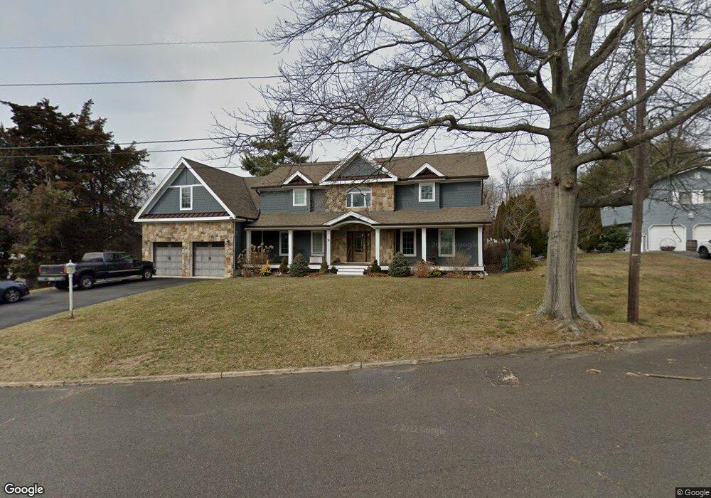
1289 Surrey Ln Spring Lake, NJ 07762
Estimated Value: $1,047,000 - $1,364,170
3
Beds
2
Baths
2,849
Sq Ft
$423/Sq Ft
Est. Value
About This Home
This home is located at 1289 Surrey Ln, Spring Lake, NJ 07762 and is currently estimated at $1,204,543, approximately $422 per square foot. 1289 Surrey Ln is a home located in Monmouth County with nearby schools including Wall High School, The Brookside School, and St. Catharine School.
Ownership History
Date
Name
Owned For
Owner Type
Purchase Details
Closed on
Jan 6, 2005
Sold by
Whitehead Arthur V
Bought by
Whitehead Clifford John
Current Estimated Value
Purchase Details
Closed on
Sep 25, 1998
Sold by
Wister Robert
Bought by
Biegert Mark and Biegert Janice
Home Financials for this Owner
Home Financials are based on the most recent Mortgage that was taken out on this home.
Original Mortgage
$144,000
Interest Rate
6.64%
Mortgage Type
Purchase Money Mortgage
Create a Home Valuation Report for This Property
The Home Valuation Report is an in-depth analysis detailing your home's value as well as a comparison with similar homes in the area
Home Values in the Area
Average Home Value in this Area
Purchase History
| Date | Buyer | Sale Price | Title Company |
|---|---|---|---|
| Whitehead Clifford John | -- | -- | |
| Biegert Mark | $180,000 | -- |
Source: Public Records
Mortgage History
| Date | Status | Borrower | Loan Amount |
|---|---|---|---|
| Previous Owner | Biegert Mark | $144,000 |
Source: Public Records
Tax History Compared to Growth
Tax History
| Year | Tax Paid | Tax Assessment Tax Assessment Total Assessment is a certain percentage of the fair market value that is determined by local assessors to be the total taxable value of land and additions on the property. | Land | Improvement |
|---|---|---|---|---|
| 2025 | $12,675 | $600,700 | $306,200 | $294,500 |
| 2024 | $12,296 | $600,700 | $306,200 | $294,500 |
| 2023 | $12,296 | $600,700 | $306,200 | $294,500 |
| 2022 | $11,996 | $600,700 | $306,200 | $294,500 |
| 2021 | $11,996 | $600,700 | $306,200 | $294,500 |
| 2020 | $11,852 | $600,700 | $306,200 | $294,500 |
| 2019 | $11,708 | $600,700 | $306,200 | $294,500 |
| 2018 | $11,606 | $600,700 | $306,200 | $294,500 |
| 2017 | $5,847 | $308,700 | $306,200 | $2,500 |
| 2016 | $5,723 | $308,700 | $306,200 | $2,500 |
| 2015 | $3,502 | $118,700 | $116,200 | $2,500 |
| 2014 | $3,172 | $110,000 | $107,500 | $2,500 |
Source: Public Records
Map
Nearby Homes
- 1301 Warren Ave Unit 5
- 2005 Nassau Dr
- 817 Ocean Rd
- 805 Jersey Ave
- 19 Willow Ln
- 530 Highway 71 Unit 4
- 2217 Old Mill Rd
- 1442 Garrett Dr
- 11 Tarpon Dr Unit 1001
- 601 Central Ave
- 613 Warren Ave
- 2174 Begonia Ave
- 24 Old Mill Ct
- 513 Mercer Ave
- 708 New York Blvd
- 2419 Kipling Ave
- 418 Salem Ave
- 418 Monmouth Ave
- 510 Beacon Blvd
- 905 Wall Rd
- 2040 New Bedford Rd
- 1291 Surrey Ln
- 2042 New Bedford Rd
- 2038 New Bedford Rd
- 1302 Wedgewood Rd
- 1300 Surrey Ln
- 2044 New Bedford Rd
- 1297 Wedgewood Rd
- 1295 Wedgewood Rd
- 1299 Wedgewood Rd
- 1293 Wedgewood Rd
- 1304 Wedgewood Rd
- 1291 Wedgewood Rd
- 2043 New Bedford Rd
- 1301 Wedgewood Rd
- 2046 New Bedford Rd
- 2045 New Bedford Rd
- 2041 New Bedford Rd
- 325 Old Mill Rd
- 501 Old Mill Rd