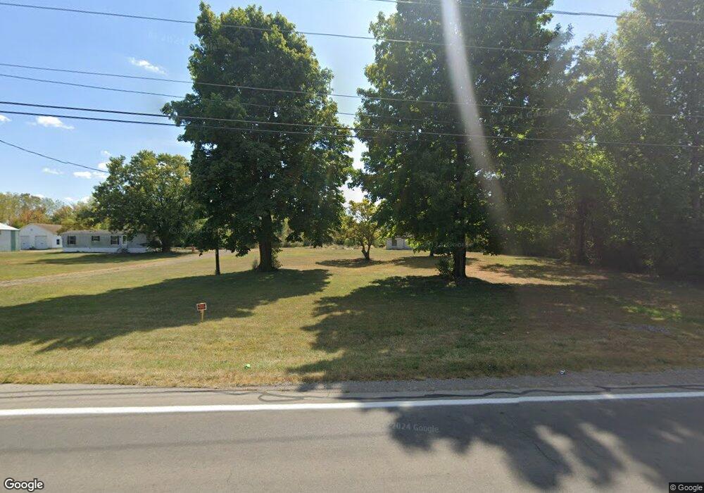
12894 State Route 235 Lakeview, OH 43331
Estimated Value: $80,388 - $187,000
--
Bed
--
Bath
--
Sq Ft
3
Acres
About This Home
This home is located at 12894 State Route 235, Lakeview, OH 43331 and is currently estimated at $127,796. 12894 State Route 235 is a home located in Logan County with nearby schools including Indian Lake Elementary School, Indian Lake Middle School, and Indian Lake High School.
Ownership History
Date
Name
Owned For
Owner Type
Purchase Details
Closed on
Nov 20, 2023
Sold by
Kanzig Floyd
Bought by
Stanley Ricky S and Stanley Amanda N
Current Estimated Value
Home Financials for this Owner
Home Financials are based on the most recent Mortgage that was taken out on this home.
Original Mortgage
$108,000
Outstanding Balance
$106,218
Interest Rate
7.79%
Mortgage Type
New Conventional
Estimated Equity
$21,578
Purchase Details
Closed on
Apr 19, 2021
Sold by
Estate Of Gary D Longstreth
Bought by
Longstreth Karen
Purchase Details
Closed on
Sep 14, 2005
Bought by
Longstreth Gary D
Purchase Details
Closed on
Mar 26, 1999
Bought by
Longstreth Mary Ann
Create a Home Valuation Report for This Property
The Home Valuation Report is an in-depth analysis detailing your home's value as well as a comparison with similar homes in the area
Home Values in the Area
Average Home Value in this Area
Purchase History
| Date | Buyer | Sale Price | Title Company |
|---|---|---|---|
| Stanley Ricky S | $135,000 | None Listed On Document | |
| Stanley Ricky S | $135,000 | None Listed On Document | |
| Longstreth Karen | -- | None Available | |
| Longstreth Gary D | $60,000 | -- | |
| Longstreth Mary Ann | -- | -- |
Source: Public Records
Mortgage History
| Date | Status | Borrower | Loan Amount |
|---|---|---|---|
| Open | Stanley Ricky S | $108,000 | |
| Closed | Stanley Ricky S | $108,000 |
Source: Public Records
Tax History Compared to Growth
Tax History
| Year | Tax Paid | Tax Assessment Tax Assessment Total Assessment is a certain percentage of the fair market value that is determined by local assessors to be the total taxable value of land and additions on the property. | Land | Improvement |
|---|---|---|---|---|
| 2024 | $662 | $17,810 | $12,070 | $5,740 |
| 2023 | $665 | $17,810 | $12,070 | $5,740 |
| 2022 | $722 | $14,840 | $10,060 | $4,780 |
| 2021 | $676 | $14,840 | $10,060 | $4,780 |
| 2020 | $677 | $13,570 | $9,920 | $3,650 |
| 2019 | $682 | $13,570 | $9,920 | $3,650 |
| 2018 | $619 | $13,570 | $9,920 | $3,650 |
Source: Public Records
Map
Nearby Homes
- 13501 Eagle Path
- 13450 Seminole Path
- 11259 Kiowa Path
- 12102 Shannon Dr Unit 89
- 11352 N Township Road 88
- 11496 Powhatan Path
- 11161 Macalpine Way
- 11579 Cooper Ave
- 11372 Kickapoo Path
- 11385 Horseshoe Channel Dr
- 11344 Mohawk Path
- 11526 Horseshoe Channel Dr
- 11546 Horseshoe Channel Dr
- 11180 Cherokee Path
- 11580 Leoline Dr
- 11035 Tecumseh Path
- 11588 Blackhawk Path
- 0 Pocahontas Path
- 9781 Maple St
- 11181 Elm St
- 12901 State Route 235
- 12901 Ohio 235
- 12703 State Route 235
- 12767 State Route 235
- 12703 Ohio 235
- 11180 Cherokee Dr
- 11379 Cherokee Dr
- 12675 State Route 235
- 12675 Ohio 235
- 12615 Ohio 235
- 12615 State Route 235
- 13761 Cherokee Dr
- 12585 State Route 235
- 11215 Anderson Ave
- 11215 Anderson Ave
- 11215 Anderson Ave
- 11181 Anderson Ave
- 11167 Anderson Ave
- 11155 Anderson Ave
- 11182 Cherokee Dr