129 Ables Mountain Ln West Point, KY 40177
Estimated Value: $332,000 - $682,498
5
Beds
5
Baths
4,600
Sq Ft
$108/Sq Ft
Est. Value
About This Home
This home is located at 129 Ables Mountain Ln, West Point, KY 40177 and is currently estimated at $497,875, approximately $108 per square foot. 129 Ables Mountain Ln is a home located in Bullitt County with nearby schools including Nichols Elementary School, Bullitt Lick Middle School, and Bullitt Central High School.
Ownership History
Date
Name
Owned For
Owner Type
Purchase Details
Closed on
Mar 30, 2020
Sold by
Gentry and David
Bought by
Woosley Maria L and Woosley Terry L
Current Estimated Value
Purchase Details
Closed on
Mar 25, 2020
Sold by
Pgl Builders Llc
Bought by
Gentry David and Gentry Polly
Create a Home Valuation Report for This Property
The Home Valuation Report is an in-depth analysis detailing your home's value as well as a comparison with similar homes in the area
Home Values in the Area
Average Home Value in this Area
Purchase History
| Date | Buyer | Sale Price | Title Company |
|---|---|---|---|
| Woosley Maria L | $464,500 | Agency Title | |
| Gentry David | $500 | Agency Title |
Source: Public Records
Tax History Compared to Growth
Tax History
| Year | Tax Paid | Tax Assessment Tax Assessment Total Assessment is a certain percentage of the fair market value that is determined by local assessors to be the total taxable value of land and additions on the property. | Land | Improvement |
|---|---|---|---|---|
| 2024 | $5,368 | $464,500 | $0 | $464,500 |
| 2023 | $5,331 | $464,500 | $0 | $464,500 |
| 2022 | $5,387 | $464,500 | $0 | $464,500 |
| 2021 | $5,396 | $464,500 | $0 | $0 |
| 2020 | $3,596 | $315,243 | $0 | $0 |
| 2019 | $3,560 | $315,243 | $0 | $0 |
| 2018 | $3,667 | $315,243 | $0 | $0 |
| 2017 | -- | $315,243 | $0 | $0 |
| 2016 | $3,515 | $315,243 | $0 | $0 |
| 2014 | $2,940 | $295,803 | $0 | $0 |
Source: Public Records
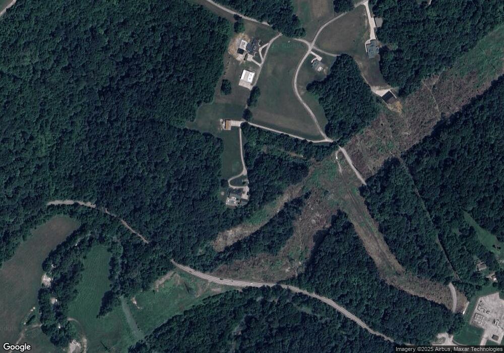
Map
Nearby Homes
- 294 Cupio Ln
- 15520 Dixie Hwy
- 16810 Abbotts Beach Rd
- 14601 Pauleys Gap Rd
- 1435 Knob Creek Rd
- 7013 Shipley Ln
- 14013 Darwin Blvd
- 13900 Beeston Blvd
- 13806 Bohannon Ave
- 13804 Bohannon Ave
- 13810 Bohannon Ave
- 6904 Betsy Ross Dr
- 7112 Dunkirk Ln
- 7213 Rainbow Dr
- 7203 Dunkirk Ln
- 13620 Dixie Hwy
- 13705 S Blakely Ln
- 409 Birchwood Dr
- 426 Birchwood Dr
- 7309 Rainbow Dr
- 500 Nichols Hill Rd
- 550 Nichols Hill Rd
- 570 Nichols Hill Rd
- 585 Nichols Hill Rd
- 10792 Highway 44 W
- 10729 Highway 44 W
- 10741 Highway 44 W
- 10711 Highway 44 W
- 10777 Highway 44 W
- 10697 Highway 44 W
- 412 Ables Mountain Ln
- 10650 Highway 44 W
- 729 Ables Mountain Ln
- 183 Cow Branch Rd
- 225 Cow Branch Rd
- 10572 Highway 44 W
- 3 Weavers Run
- 2 Weavers Run
- 865 Weavers Run
- 10519 Highway 44 W