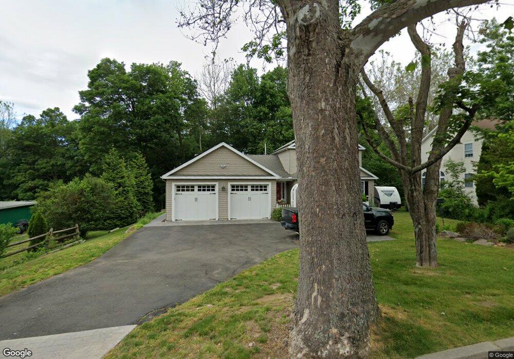
129 Adley Rd Fairfield, CT 06825
Stratfield Village NeighborhoodEstimated Value: $839,000 - $1,091,242
4
Beds
4
Baths
2,478
Sq Ft
$410/Sq Ft
Est. Value
About This Home
This home is located at 129 Adley Rd, Fairfield, CT 06825 and is currently estimated at $1,016,811, approximately $410 per square foot. 129 Adley Rd is a home located in Fairfield County with nearby schools including North Stratfield Elementary School, Fairfield Woods Middle School, and Fairfield Warde High School.
Ownership History
Date
Name
Owned For
Owner Type
Purchase Details
Closed on
Oct 18, 1996
Sold by
Sabados Christopher and Sabados Kristeen M
Bought by
Salustro Wendy E
Current Estimated Value
Home Financials for this Owner
Home Financials are based on the most recent Mortgage that was taken out on this home.
Original Mortgage
$145,160
Interest Rate
8.26%
Mortgage Type
Unknown
Create a Home Valuation Report for This Property
The Home Valuation Report is an in-depth analysis detailing your home's value as well as a comparison with similar homes in the area
Home Values in the Area
Average Home Value in this Area
Purchase History
| Date | Buyer | Sale Price | Title Company |
|---|---|---|---|
| Salustro Wendy E | $182,000 | -- | |
| Salustro Wendy E | $182,000 | -- |
Source: Public Records
Mortgage History
| Date | Status | Borrower | Loan Amount |
|---|---|---|---|
| Open | Salustro Wendy E | $35,000 | |
| Open | Salustro Wendy E | $350,000 | |
| Closed | Salustro Wendy E | $145,160 |
Source: Public Records
Tax History
| Year | Tax Paid | Tax Assessment Tax Assessment Total Assessment is a certain percentage of the fair market value that is determined by local assessors to be the total taxable value of land and additions on the property. | Land | Improvement |
|---|---|---|---|---|
| 2025 | $13,722 | $483,350 | $217,770 | $265,580 |
| 2024 | $13,485 | $483,350 | $217,770 | $265,580 |
| 2023 | $13,297 | $483,350 | $217,770 | $265,580 |
| 2022 | $13,166 | $483,350 | $217,770 | $265,580 |
| 2021 | $13,041 | $483,350 | $217,770 | $265,580 |
| 2020 | $13,382 | $499,520 | $187,110 | $312,410 |
| 2019 | $13,382 | $499,520 | $187,110 | $312,410 |
| 2018 | $13,167 | $499,520 | $187,110 | $312,410 |
| 2017 | $12,898 | $499,520 | $187,110 | $312,410 |
| 2016 | $12,713 | $499,520 | $187,110 | $312,410 |
| 2015 | $11,312 | $456,330 | $196,910 | $259,420 |
| 2014 | $11,134 | $456,330 | $196,910 | $259,420 |
Source: Public Records
Map
Nearby Homes
- 357 Harvester Rd
- 160 Glengarry Rd Unit 160
- 65 Bailey Rd
- 35 Balmaha Ct
- 204 Glen Ridge Rd
- 16 Paisley Ln Unit 16
- 250 Lockwood Rd
- 1924 Stratfield Rd
- 249 Wheeler Park Ave
- 168 Bennett St
- 101 Applegate Rd
- 1470 Stratfield Rd
- 774 Fairfield Woods Rd
- 175 Winnepoge Dr
- 71 Schiller Rd
- 1452 Melville Ave Unit 1452
- 100 Tuller Rd
- 688 Wilson St
- 9 Garden Ct
- 31 High Ridge Rd
Your Personal Tour Guide
Ask me questions while you tour the home.