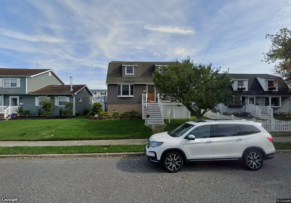
129 Anchorage Dr Ocean City, NJ 08226
Estimated Value: $1,016,000 - $1,264,000
--
Bed
--
Bath
1,920
Sq Ft
$582/Sq Ft
Est. Value
About This Home
This home is located at 129 Anchorage Dr, Ocean City, NJ 08226 and is currently estimated at $1,117,535, approximately $582 per square foot. 129 Anchorage Dr is a home located in Cape May County with nearby schools including Ocean City Primary School, Ocean City Intermediate School, and Ocean City High School.
Ownership History
Date
Name
Owned For
Owner Type
Purchase Details
Closed on
May 4, 2015
Sold by
Hussong Susan
Bought by
Hussong Susan
Current Estimated Value
Purchase Details
Closed on
Dec 30, 1993
Sold by
Yingst Ruth
Bought by
Hussong Susan
Home Financials for this Owner
Home Financials are based on the most recent Mortgage that was taken out on this home.
Original Mortgage
$128,000
Interest Rate
7%
Create a Home Valuation Report for This Property
The Home Valuation Report is an in-depth analysis detailing your home's value as well as a comparison with similar homes in the area
Home Values in the Area
Average Home Value in this Area
Purchase History
| Date | Buyer | Sale Price | Title Company |
|---|---|---|---|
| Hussong Susan | -- | None Available | |
| Hussong Susan | $154,000 | -- |
Source: Public Records
Mortgage History
| Date | Status | Borrower | Loan Amount |
|---|---|---|---|
| Closed | Hussong Susan | $128,000 |
Source: Public Records
Tax History Compared to Growth
Tax History
| Year | Tax Paid | Tax Assessment Tax Assessment Total Assessment is a certain percentage of the fair market value that is determined by local assessors to be the total taxable value of land and additions on the property. | Land | Improvement |
|---|---|---|---|---|
| 2025 | $5,706 | $508,600 | $279,300 | $229,300 |
| 2024 | $5,706 | $508,600 | $279,300 | $229,300 |
| 2023 | $5,447 | $508,600 | $279,300 | $229,300 |
| 2022 | $5,233 | $508,600 | $279,300 | $229,300 |
| 2021 | $3,794 | $508,600 | $279,300 | $229,300 |
| 2020 | $4,974 | $508,600 | $279,300 | $229,300 |
| 2019 | $4,918 | $508,600 | $279,300 | $229,300 |
| 2018 | $4,872 | $508,600 | $279,300 | $229,300 |
| 2017 | $4,796 | $508,600 | $279,300 | $229,300 |
| 2016 | $4,189 | $461,800 | $279,300 | $182,500 |
| 2015 | $4,133 | $461,800 | $279,300 | $182,500 |
| 2014 | $4,073 | $461,800 | $279,300 | $182,500 |
Source: Public Records
Map
Nearby Homes
- 13 53rd St
- 5404 Bay Ave
- 209 Bark Dr
- 5242 West Ave Unit 2
- 5315 West Ave
- 5225 Asbury Ave Unit 1
- 5235 Central Ave
- 400 E 55th St Unit D
- 400 E 55th St Unit E
- 400 E 55th St Unit F
- 5512 Asbury Ave
- 5441 Central Ave
- 4933 Central Ave Unit 4933
- 4919 Central Ave
- 305 57th St Unit 305
- 4828 West Ave Unit first floor
- 4923 Central Ave Unit 2
- 4818-20 Asbury Ave
- 4818 Asbury Ave Unit 1
- 4641 West Ave Unit 1
- 133 Anchorage Dr
- 125 Anchorage Dr
- 137 Anchorage Dr
- 121 Anchorage Dr
- 5232 Bay Ave
- 5236 Bay Ave
- 5228 Bay Ave Unit 30
- 141 Anchorage Dr
- 120 Anchorage Dr
- 5300 Bay Ave
- 124 Anchorage Dr
- 117 Anchorage Dr
- 116 Anchorage Dr
- 128 Anchorage Dr
- 5304 Bay Ave
- 112 Anchorage Dr
- 5220 Bay Ave
- 145 Anchorage Dr
- 132 Anchorage Dr
- 113 Anchorage Dr