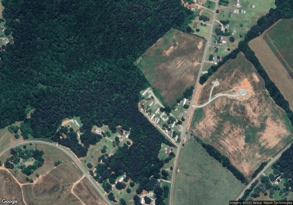
129 Avalon Ln Easley, SC 29642
Estimated Value: $91,000 - $316,000
3
Beds
1
Bath
768
Sq Ft
$238/Sq Ft
Est. Value
About This Home
This home is located at 129 Avalon Ln, Easley, SC 29642 and is currently estimated at $183,036, approximately $238 per square foot. 129 Avalon Ln is a home with nearby schools including Liberty Primary School, Liberty Middle School, and Liberty High School.
Ownership History
Date
Name
Owned For
Owner Type
Purchase Details
Closed on
Dec 30, 2021
Sold by
Mbcm Llc
Bought by
Carolina Park Place Llc
Current Estimated Value
Purchase Details
Closed on
Oct 13, 2016
Sold by
Reaves William C
Bought by
Mbcm Llc
Home Financials for this Owner
Home Financials are based on the most recent Mortgage that was taken out on this home.
Original Mortgage
$130,000
Interest Rate
3.5%
Mortgage Type
New Conventional
Create a Home Valuation Report for This Property
The Home Valuation Report is an in-depth analysis detailing your home's value as well as a comparison with similar homes in the area
Home Values in the Area
Average Home Value in this Area
Purchase History
| Date | Buyer | Sale Price | Title Company |
|---|---|---|---|
| Carolina Park Place Llc | -- | None Available | |
| Carolina Park Place Llc | -- | None Listed On Document | |
| Mbcm Llc | $150,000 | None Available |
Source: Public Records
Mortgage History
| Date | Status | Borrower | Loan Amount |
|---|---|---|---|
| Previous Owner | Mbcm Llc | $130,000 |
Source: Public Records
Tax History Compared to Growth
Tax History
| Year | Tax Paid | Tax Assessment Tax Assessment Total Assessment is a certain percentage of the fair market value that is determined by local assessors to be the total taxable value of land and additions on the property. | Land | Improvement |
|---|---|---|---|---|
| 2024 | $3,123 | $7,980 | $6,260 | $1,720 |
| 2023 | $1,912 | $7,980 | $6,260 | $1,720 |
| 2022 | $0 | $7,980 | $6,260 | $1,720 |
| 2021 | $1,691 | $7,980 | $6,260 | $1,720 |
| 2020 | $1,834 | $7,980 | $6,260 | $1,720 |
| 2019 | $1,845 | $7,980 | $6,260 | $1,720 |
| 2018 | $1,691 | $6,950 | $5,530 | $1,420 |
| 2017 | $1,642 | $420 | $0 | $420 |
| 2015 | $3,785 | $270 | $0 | $0 |
| 2008 | -- | $6,460 | $4,790 | $1,670 |
Source: Public Records
Map
Nearby Homes
- 918 N Old Pendleton Rd
- 816 N Old Pendleton Rd Unit B
- 00 Skyview Cir
- 358 Finley Rd
- 142 Fish Camp Rd
- 127 Moore Dr
- 7703 Moorefield Memorial Hwy
- 0 N Old Pendleton Rd Unit 20290105
- 492 Flat Rock Rd Unit TRACT A
- 403 Park Cir W
- 00 Highway 178 Hwy
- 163 Yates Rd
- 105 Foxhall Ct
- 00 Woodbine Rd
- 291 Orchid Dr
- 340 Adger Rd
- 105 Fox Den Ct
- 112 Fox Creek Ct
- 318 Sharon Ln
- 6221 Moorefield Memorial Hwy
- 285 Wyatt Stewart Rd
- 401 S Mcalister Rd
- 291 S Mcalister Rd
- 426 S Mcalister Rd
- 257 S Mcalister Rd
- 256 S Mcalister Rd
- 235 S Mcalister Rd
- 242 Wyatt Stewart Rd
- 1847 Anderson Hwy
- 234 S Mcalister Rd
- 188 Grace Ln
- 00 Anderson Hwy
- Lot 65 Anderson Hwy
- Lot 64 Anderson Hwy
- Lot 63 Anderson Hwy
- 184 Grace Ln
- 183 Grace Ln
- 152 Midnight Ln
- 180 Grace Ln
- 181 Grace Ln
