Estimated Value: $270,650 - $293,000
Studio
--
Bath
1,428
Sq Ft
$196/Sq Ft
Est. Value
About This Home
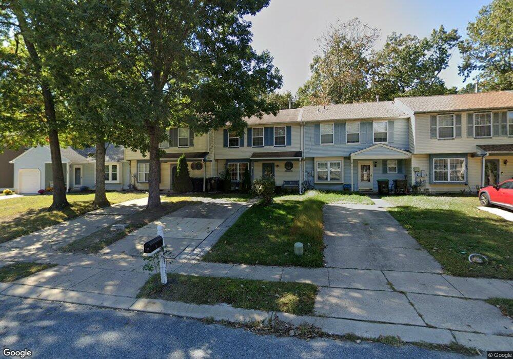
This home is located at 129 Baker Ave, Atco, NJ 08004 and is currently estimated at $279,413, approximately $195 per square foot. 129 Baker Ave is a home located in Camden County with nearby schools including Winslow Township High School and The Archway School.
Ownership History
Date
Name
Owned For
Owner Type
Purchase Details
Closed on
Jun 29, 2007
Sold by
Mullin Catherine
Bought by
Rucci Kathleen
Current Estimated Value
Home Financials for this Owner
Home Financials are based on the most recent Mortgage that was taken out on this home.
Original Mortgage
$167,674
Outstanding Balance
$104,692
Interest Rate
6.48%
Mortgage Type
FHA
Estimated Equity
$174,721
Purchase Details
Closed on
Mar 30, 2004
Sold by
Payne Bradford J
Bought by
Mullin Catherine
Home Financials for this Owner
Home Financials are based on the most recent Mortgage that was taken out on this home.
Original Mortgage
$107,255
Interest Rate
5.4%
Purchase Details
Closed on
Nov 21, 1997
Sold by
Pittin James T
Bought by
Payne Bradford J and Payne Patricia
Home Financials for this Owner
Home Financials are based on the most recent Mortgage that was taken out on this home.
Original Mortgage
$73,000
Interest Rate
7.14%
Mortgage Type
FHA
Create a Home Valuation Report for This Property
The Home Valuation Report is an in-depth analysis detailing your home's value as well as a comparison with similar homes in the area
Home Values in the Area
Average Home Value in this Area
Purchase History
| Date | Buyer | Sale Price | Title Company |
|---|---|---|---|
| Rucci Kathleen | $189,000 | -- | |
| Mullin Catherine | $112,900 | -- | |
| Payne Bradford J | $74,000 | -- |
Source: Public Records
Mortgage History
| Date | Status | Borrower | Loan Amount |
|---|---|---|---|
| Open | Rucci Kathleen | $167,674 | |
| Previous Owner | Mullin Catherine | $107,255 | |
| Previous Owner | Payne Bradford J | $73,000 |
Source: Public Records
Tax History
| Year | Tax Paid | Tax Assessment Tax Assessment Total Assessment is a certain percentage of the fair market value that is determined by local assessors to be the total taxable value of land and additions on the property. | Land | Improvement |
|---|---|---|---|---|
| 2025 | $4,597 | $117,800 | $30,000 | $87,800 |
| 2024 | $4,475 | $117,800 | $30,000 | $87,800 |
| 2023 | $4,475 | $117,800 | $30,000 | $87,800 |
| 2022 | $4,337 | $117,800 | $30,000 | $87,800 |
| 2021 | $4,288 | $117,800 | $30,000 | $87,800 |
| 2020 | $4,250 | $117,800 | $30,000 | $87,800 |
| 2019 | $4,224 | $117,800 | $30,000 | $87,800 |
| 2018 | $4,167 | $117,800 | $30,000 | $87,800 |
| 2017 | $4,092 | $117,800 | $30,000 | $87,800 |
| 2016 | $4,041 | $117,800 | $30,000 | $87,800 |
| 2015 | $3,982 | $117,800 | $30,000 | $87,800 |
| 2014 | $3,893 | $117,800 | $30,000 | $87,800 |
Source: Public Records
Map
Nearby Homes
- 158 Baker Ave
- 108 Forbes Dr
- 121 Crosley Dr
- 18 Wakefield Rd
- 56 Oakton Dr
- 33 Windingbrook Dr
- 327 Vineyard Rd
- 9 Bromley Ct
- 249 Girard Ave
- 2006 A Ave
- 59 Woodstream Dr
- 470 Waterfords Edge Ct
- 0 Route 73 N Unit NJCD2106346
- 411 Atco Ave
- 41 Basswood St Unit 701
- 43 Basswood St Unit 702
- 45 Basswood St Unit 703
- 47 Basswood St
- 38 Basswood St Unit 605
- 49 Basswood St
Your Personal Tour Guide
Ask me questions while you tour the home.