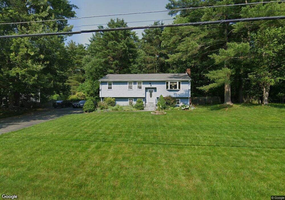
129 Black Brook Rd South Easton, MA 02375
Estimated Value: $622,929 - $692,000
3
Beds
2
Baths
1,392
Sq Ft
$472/Sq Ft
Est. Value
About This Home
This home is located at 129 Black Brook Rd, South Easton, MA 02375 and is currently estimated at $656,482, approximately $471 per square foot. 129 Black Brook Rd is a home located in Bristol County with nearby schools including Easton Middle School and Oliver Ames High School.
Ownership History
Date
Name
Owned For
Owner Type
Purchase Details
Closed on
Jul 26, 2002
Sold by
Moynihan John J and Moynihan David F
Bought by
Pierre-Louis Sterlin and Pierre-Louis Marie G
Current Estimated Value
Home Financials for this Owner
Home Financials are based on the most recent Mortgage that was taken out on this home.
Original Mortgage
$232,000
Outstanding Balance
$97,540
Interest Rate
6.73%
Mortgage Type
Purchase Money Mortgage
Estimated Equity
$558,942
Create a Home Valuation Report for This Property
The Home Valuation Report is an in-depth analysis detailing your home's value as well as a comparison with similar homes in the area
Home Values in the Area
Average Home Value in this Area
Purchase History
| Date | Buyer | Sale Price | Title Company |
|---|---|---|---|
| Pierre-Louis Sterlin | $290,000 | -- | |
| Pierre-Louis Sterlin | $290,000 | -- |
Source: Public Records
Mortgage History
| Date | Status | Borrower | Loan Amount |
|---|---|---|---|
| Open | Pierre-Louis Sterlin | $232,000 | |
| Closed | Pierre-Louis Sterlin | $232,000 | |
| Previous Owner | Pierre-Louis Sterlin | $83,500 |
Source: Public Records
Tax History Compared to Growth
Tax History
| Year | Tax Paid | Tax Assessment Tax Assessment Total Assessment is a certain percentage of the fair market value that is determined by local assessors to be the total taxable value of land and additions on the property. | Land | Improvement |
|---|---|---|---|---|
| 2025 | $6,824 | $546,800 | $373,100 | $173,700 |
| 2024 | $6,295 | $471,500 | $298,000 | $173,500 |
| 2023 | $6,455 | $442,400 | $298,000 | $144,400 |
| 2022 | $6,113 | $397,200 | $257,800 | $139,400 |
| 2021 | $5,896 | $380,900 | $241,500 | $139,400 |
| 2020 | $5,689 | $369,900 | $231,700 | $138,200 |
| 2019 | $5,283 | $331,000 | $213,300 | $117,700 |
| 2018 | $4,998 | $308,300 | $201,800 | $106,500 |
| 2017 | $4,838 | $298,300 | $201,800 | $96,500 |
| 2016 | $4,624 | $285,600 | $194,900 | $90,700 |
| 2015 | $4,371 | $260,500 | $169,800 | $90,700 |
| 2014 | $4,239 | $254,600 | $162,200 | $92,400 |
Source: Public Records
Map
Nearby Homes
- 73 Summer St
- 79 Summer St
- 9 Oak Ridge Dr
- 15 Randall Farm Dr
- 45 Randall St
- 16 Goodspeed Ln Unit Lot 4
- 37 Kingsley Rd
- 366 Center St
- 6 Kingsley Rd
- 1 Newell Cir
- 32 Spooner St
- 7 Rachael Cir
- 30 King Arthur Rd
- 10 Matthew Cir
- 26 Short St
- 27 Short St
- 67 Center St
- 21 Scotch Dam Rd
- 18 Prudence Crandall Ln Unit 18
- 56 Williams St
- 125 Black Brook Rd
- 133 Black Brook Rd
- 128 Black Brook Rd
- 132 Black Brook Rd
- 121 Black Brook Rd
- 137 Black Brook Rd
- 124 Black Brook Rd
- 136 Black Brook Rd
- 120 Black Brook Rd
- 141 Black Brook Rd
- 90 Summer St
- 140 Black Brook Rd
- 94 Summer St
- 113 Black Brook Rd
- 114 Black Brook Rd
- 98 Summer St
- 40 Elizabeth Way
- 102 Summer St
- 109 Black Brook Rd
- 108 Black Brook Rd