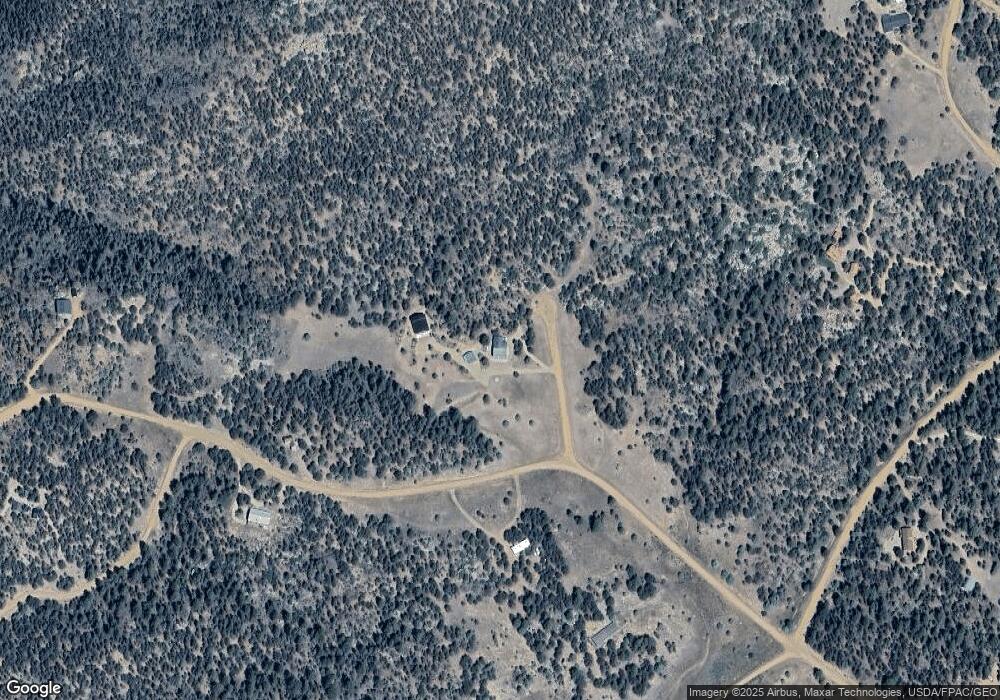
129 Blair Way Cotopaxi, CO 81223
Estimated Value: $449,000 - $578,482
3
Beds
2
Baths
2,114
Sq Ft
$240/Sq Ft
Est. Value
About This Home
This home is located at 129 Blair Way, Cotopaxi, CO 81223 and is currently estimated at $506,371, approximately $239 per square foot. 129 Blair Way is a home located in Fremont County with nearby schools including Cotopaxi Elementary School and Cotopaxi Junior/Senior High School.
Ownership History
Date
Name
Owned For
Owner Type
Purchase Details
Closed on
Mar 23, 2023
Sold by
Mckay Michael N and Mckay Laura S
Bought by
Mckay Michael N and Mckay Laura S
Current Estimated Value
Purchase Details
Closed on
Mar 25, 2021
Sold by
Mckay Michael N and Mckay Manuel Laura
Bought by
Mckay Michael N and Mckay Manuel Laura
Purchase Details
Closed on
Oct 7, 2013
Sold by
Household Finance Corp Iii
Bought by
Mckay Michael N
Home Financials for this Owner
Home Financials are based on the most recent Mortgage that was taken out on this home.
Original Mortgage
$113,580
Interest Rate
4.61%
Mortgage Type
New Conventional
Purchase Details
Closed on
May 30, 2013
Sold by
Wells Tina L and Rowland Loyle H
Bought by
Household Finance Corp Iii
Purchase Details
Closed on
May 21, 2004
Sold by
Manes Ross and Manes B J
Bought by
Rowland Loyle H and Wells Tina L
Purchase Details
Closed on
Dec 22, 1992
Sold by
Hendricks
Bought by
Manes
Purchase Details
Closed on
Dec 15, 1974
Bought by
Hendricks
Create a Home Valuation Report for This Property
The Home Valuation Report is an in-depth analysis detailing your home's value as well as a comparison with similar homes in the area
Home Values in the Area
Average Home Value in this Area
Purchase History
| Date | Buyer | Sale Price | Title Company |
|---|---|---|---|
| Mckay Michael N | -- | None Listed On Document | |
| Mckay Michael N | -- | -- | |
| Mckay Michael N | -- | None Listed On Document | |
| Mckay Michael N | -- | None Available | |
| Mckay Michael N | $126,200 | Heritage Title Company | |
| Household Finance Corp Iii | -- | None Available | |
| Rowland Loyle H | $202,500 | -- | |
| Manes | $8,000 | -- | |
| Hendricks | $11,000 | -- |
Source: Public Records
Mortgage History
| Date | Status | Borrower | Loan Amount |
|---|---|---|---|
| Previous Owner | Mckay Michael N | $113,580 |
Source: Public Records
Tax History Compared to Growth
Tax History
| Year | Tax Paid | Tax Assessment Tax Assessment Total Assessment is a certain percentage of the fair market value that is determined by local assessors to be the total taxable value of land and additions on the property. | Land | Improvement |
|---|---|---|---|---|
| 2024 | $1,594 | $37,477 | $0 | $0 |
| 2023 | $1,594 | $32,553 | $0 | $0 |
| 2022 | $1,205 | $25,677 | $0 | $0 |
| 2021 | $1,213 | $26,416 | $0 | $0 |
| 2020 | $592 | $13,128 | $0 | $0 |
| 2019 | $591 | $13,128 | $0 | $0 |
| 2018 | $541 | $12,007 | $0 | $0 |
| 2017 | $543 | $12,007 | $0 | $0 |
| 2016 | $484 | $10,730 | $0 | $0 |
| 2015 | $483 | $10,730 | $0 | $0 |
| 2012 | $479 | $11,520 | $920 | $10,600 |
Source: Public Records
Map
Nearby Homes
- 0 Tbd Iron Mountain Wilderness Rd Unit 4146154
- 70 Arthur Ln
- 1314 Arnold Dr Unit 545
- 1314 Arnold Dr
- 134 Knight Ln
- 288 Bear Ln
- 3500 Indian Wells Rd
- 3586 Indian Wells Rd
- 393 Canyon
- 102 Kevin Dr Unit 488
- 102 Kevin Dr
- 221 Cottonwood Dr
- 50 Cottonwood Dr
- 250 Cottonwood Dr
- 729 Cottonwood Dr
- 109 Cottonwood Dr
- 110 Dead Log Ln
- 176 Arnold Dr