129 Bounty Trail Hot Springs National Park, AR 71913
Estimated Value: $152,909 - $228,000
3
Beds
2
Baths
1,344
Sq Ft
$139/Sq Ft
Est. Value
About This Home
This home is located at 129 Bounty Trail, Hot Springs National Park, AR 71913 and is currently estimated at $186,727, approximately $138 per square foot. 129 Bounty Trail is a home located in Garland County with nearby schools including Mountain Pine Elementary School and Mountain Pine High School.
Ownership History
Date
Name
Owned For
Owner Type
Purchase Details
Closed on
Oct 23, 2015
Sold by
Kroha Carolyn and Kroha Daniel J
Bought by
Kroha Daniel J and Kroha Carolyn D
Current Estimated Value
Home Financials for this Owner
Home Financials are based on the most recent Mortgage that was taken out on this home.
Original Mortgage
$60,000
Outstanding Balance
$24,398
Interest Rate
3.94%
Mortgage Type
New Conventional
Estimated Equity
$162,329
Purchase Details
Closed on
Apr 28, 2008
Sold by
Ramos Virginia L
Bought by
Kroha Carolyn
Home Financials for this Owner
Home Financials are based on the most recent Mortgage that was taken out on this home.
Original Mortgage
$50,000
Interest Rate
5.84%
Mortgage Type
New Conventional
Purchase Details
Closed on
Jan 28, 1994
Sold by
Not Provided
Bought by
Prudential Home Mtg Co
Create a Home Valuation Report for This Property
The Home Valuation Report is an in-depth analysis detailing your home's value as well as a comparison with similar homes in the area
Home Values in the Area
Average Home Value in this Area
Purchase History
| Date | Buyer | Sale Price | Title Company |
|---|---|---|---|
| Kroha Daniel J | -- | Lenders Title Company | |
| Kroha Carolyn | $115,000 | Lenders Title Company | |
| Prudential Home Mtg Co | $50,000 | -- |
Source: Public Records
Mortgage History
| Date | Status | Borrower | Loan Amount |
|---|---|---|---|
| Open | Kroha Daniel J | $60,000 | |
| Previous Owner | Kroha Carolyn | $50,000 |
Source: Public Records
Tax History Compared to Growth
Tax History
| Year | Tax Paid | Tax Assessment Tax Assessment Total Assessment is a certain percentage of the fair market value that is determined by local assessors to be the total taxable value of land and additions on the property. | Land | Improvement |
|---|---|---|---|---|
| 2025 | $32 | $19,350 | $2,050 | $17,300 |
| 2024 | $123 | $19,350 | $2,050 | $17,300 |
| 2023 | $198 | $19,350 | $2,050 | $17,300 |
| 2022 | $248 | $19,350 | $2,050 | $17,300 |
| 2021 | $693 | $18,410 | $1,540 | $16,870 |
| 2020 | $318 | $18,410 | $1,540 | $16,870 |
| 2019 | $248 | $18,410 | $1,540 | $16,870 |
| 2018 | $273 | $18,410 | $1,540 | $16,870 |
| 2017 | $245 | $18,410 | $1,540 | $16,870 |
| 2016 | $245 | $17,930 | $1,800 | $16,130 |
| 2015 | $245 | $17,930 | $1,800 | $16,130 |
| 2014 | $244 | $14,330 | $1,310 | $13,020 |
Source: Public Records
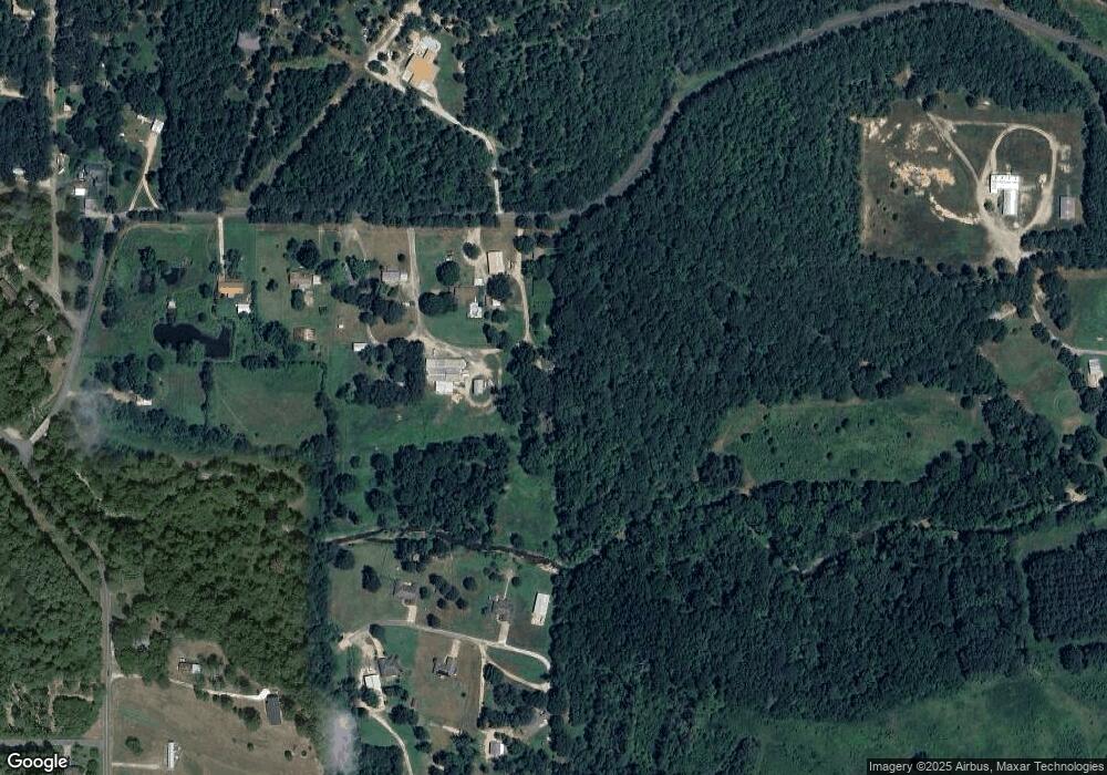
Map
Nearby Homes
- Cannon Gate Ln
- 104 Diamond Dr
- Lot 78 & 79 Benbow St
- XXX Pirate Dr
- TBD Pirate Dr
- 415 Gold Nugget Loop
- 1051 Cozy Acres Rd
- 205 Buccaneer St
- 1516 Treasure Isle Rd
- 1663 Treasure Isle Rd
- 111 Black Oak Ct
- 00 Moountain Pine
- 0 River Mill Ct Unit 25041085
- 1722 Treasure Isle Rd
- 183 River Mill Ct Unit B-1
- 183 River Mill Ct Unit B-2
- 183 River Mill Ct
- 179 River Mill C-1 Ct
- 179 River Mill D-1 Ct
- 179 River Mill B-2 Ct
- 126 Bounty Trail
- 126 Bounty Trail
- 107 Bounty Trail
- 116 Griffith Ln
- 741 Clearcreek Rd
- 227 Maple Acres Trail
- 227 Maple Acres
- 211 Maple Acres
- 771 Clearcreek Rd
- 224 Maple Acres Trail
- 224 Maple Acres
- 210 Maple Acres Trail
- 0 Maple Acres Trail Unit 15026025
- 246 Maple Acres
- 760 Clearcreek Rd
- 208 Maple Acres
- 753 Gold Nugget Loop
- 103 Goldnuggett Loop
- 753 Goldnuggett Loop