129 Breezy Pointe Ln Leesville, SC 29070
Estimated Value: $995,000 - $1,613,000
4
Beds
4
Baths
4,652
Sq Ft
$272/Sq Ft
Est. Value
About This Home
This home is located at 129 Breezy Pointe Ln, Leesville, SC 29070 and is currently estimated at $1,266,201, approximately $272 per square foot. 129 Breezy Pointe Ln is a home with nearby schools including Batesburg-Leesville Primary School, Batesburg-Leesville Elementary School, and Batesburg-Leesville Middle School.
Ownership History
Date
Name
Owned For
Owner Type
Purchase Details
Closed on
Mar 6, 2013
Sold by
Robbins Fredric Mack
Bought by
Robbins Fredric Mack and Rpbbins Vicki Holt
Current Estimated Value
Home Financials for this Owner
Home Financials are based on the most recent Mortgage that was taken out on this home.
Original Mortgage
$294,875
Interest Rate
3.57%
Mortgage Type
Future Advance Clause Open End Mortgage
Purchase Details
Closed on
Apr 18, 2011
Sold by
Robbins Fred M
Bought by
Robbins Fredric Mack and The Frederic Mack Robbins Revocable Trus
Create a Home Valuation Report for This Property
The Home Valuation Report is an in-depth analysis detailing your home's value as well as a comparison with similar homes in the area
Purchase History
| Date | Buyer | Sale Price | Title Company |
|---|---|---|---|
| Robbins Fredric Mack | -- | -- | |
| Robbins Fredric Mack | -- | -- |
Source: Public Records
Mortgage History
| Date | Status | Borrower | Loan Amount |
|---|---|---|---|
| Closed | Robbins Fredric Mack | $294,875 |
Source: Public Records
Tax History
| Year | Tax Paid | Tax Assessment Tax Assessment Total Assessment is a certain percentage of the fair market value that is determined by local assessors to be the total taxable value of land and additions on the property. | Land | Improvement |
|---|---|---|---|---|
| 2024 | $4,142 | $27,052 | $6,424 | $20,628 |
| 2023 | $3,697 | $27,052 | $6,424 | $20,628 |
| 2022 | $3,711 | $27,052 | $6,424 | $20,628 |
| 2020 | $3,059 | $27,052 | $6,424 | $20,628 |
| 2019 | $3,098 | $25,341 | $5,256 | $20,085 |
| 2018 | $2,991 | $25,341 | $5,256 | $20,085 |
| 2017 | $2,742 | $25,341 | $5,256 | $20,085 |
| 2016 | $2,136 | $25,340 | $5,256 | $20,084 |
| 2014 | $2,297 | $25,628 | $7,760 | $17,868 |
| 2013 | -- | $25,630 | $7,760 | $17,870 |
Source: Public Records
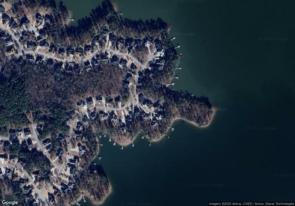
Map
Nearby Homes
- 144 Harbour Watch Blvd
- 101 Port'O Call
- 111 Buccaneer Place
- 621 Tom Drafts Cir
- 624 E Point Dr
- 0 George St
- 416 W Point Dr
- 421 W Point Dr
- 377 Still Shores Dr
- 639 Shining Sun Ct
- 3257 Driftwood Point Rd
- 325 Adams Ln
- 642 Shining Sun Ct
- 0 Lake Village Dr
- 321 Still Shores Dr
- 320 Still Shores Dr
- 316 Still Shores Dr
- 324 Still Shores Dr
- 317 Still Shores Dr
- 501 Canasta Dr
- 125 Breezy Pointe Ln
- 133 Breezy Pointe Ln
- 132 Breezy Pointe Ln
- 128 Breezy Pointe Ln
- 121 Breezy Pointe Ln
- 136 Breezy Pointe Ln
- 124 Breezy Pointe Ln
- 117 Breezy Pointe Ln
- 164 Harvest Moon Dr
- 120 Breezy Pointe Ln
- 113 Breezy Pointe Ln
- 160 Harvest Moon Dr
- 116 Breezy Pointe Ln
- 109 Breezy Pointe Ln
- 159 Harvest Moon Dr
- 176 Windjammer Dr
- 105 Breezy Pointe Ln
- 152 Harvest Moon Dr
- 172 Windjammer Dr
- 155 Harvest Moon Dr
Your Personal Tour Guide
Ask me questions while you tour the home.