129 Briar Patch Ln Oakland, MD 21550
Estimated Value: $832,000 - $952,000
Studio
1
Bath
640
Sq Ft
$1,386/Sq Ft
Est. Value
About This Home
This home is located at 129 Briar Patch Ln, Oakland, MD 21550 and is currently estimated at $886,976, approximately $1,385 per square foot. 129 Briar Patch Ln is a home located in Garrett County with nearby schools including Broad Ford Elementary School, Southern Middle School, and Southern Garrett High School.
Ownership History
Date
Name
Owned For
Owner Type
Purchase Details
Closed on
Mar 3, 2020
Sold by
Drury Donald Alfred and Drury Bruce Bradford
Bought by
Drury Donald Alfred and Drury Bruce Bradford
Current Estimated Value
Purchase Details
Closed on
May 21, 2007
Sold by
Drury Alfred T and Drury Louise U
Bought by
Drury Donald A and Drury Bruce B
Purchase Details
Closed on
Apr 14, 2007
Sold by
Drury Alfred T and Drury Louise U
Bought by
Drury Donald A and Drury Bruce B
Create a Home Valuation Report for This Property
The Home Valuation Report is an in-depth analysis detailing your home's value as well as a comparison with similar homes in the area
Purchase History
We collect this data history from publicly available records. To have your information removed, we recommend requesting removal directly through your county’s website.
| Date | Buyer | Sale Price | Title Company |
|---|---|---|---|
| Drury Donald Alfred | -- | None Available | |
| Drury Donald A | -- | -- | |
| Drury Donald A | -- | -- |
Source: Public Records
Tax History
| Year | Tax Paid | Tax Assessment Tax Assessment Total Assessment is a certain percentage of the fair market value that is determined by local assessors to be the total taxable value of land and additions on the property. | Land | Improvement |
|---|---|---|---|---|
| 2025 | $6,487 | $570,400 | $468,100 | $102,300 |
| 2024 | $6,245 | $532,067 | $0 | $0 |
| 2023 | $5,797 | $493,733 | $0 | $0 |
| 2022 | $5,349 | $455,400 | $409,100 | $46,300 |
| 2021 | $5,349 | $455,400 | $409,100 | $46,300 |
| 2020 | $6,338 | $455,400 | $409,100 | $46,300 |
| 2019 | $5,210 | $443,500 | $392,300 | $51,200 |
| 2018 | $4,917 | $443,500 | $392,300 | $51,200 |
| 2017 | $4,918 | $443,500 | $0 | $0 |
| 2016 | -- | $444,300 | $0 | $0 |
| 2015 | -- | $444,300 | $0 | $0 |
| 2014 | -- | $444,300 | $0 | $0 |
Source: Public Records
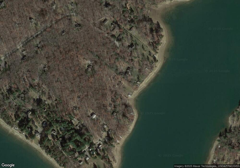
Map
Nearby Homes
- 62 Middleton Rd
- 209 Black Angus Dr
- 1038 S Blakeslee Rd
- 1010 Holy Cross Dr
- 827 Penn Point Rd
- 2895 Turkey Neck Rd
- 0 Turkey Neck Rd Unit MDGA2011900
- LOT 25 Holy Cross Dr
- 47 Holy Cross Cir
- 815 Chadderton School Rd
- 185 Ruta Ln
- 125 Ruta Ln
- 2311 Boy Scout Rd
- 701 Shoreline Dr
- 32 Hazelhurst Ln
- 674 Hazelhurst Rd
- 0 Paradise Heights Rd Unit MDGA2007090
- 0 Green Glade Rd Unit MDGA2011230
- 0 Green Glade Rd Unit MDGA2011588
- 8 Hidden Cove Ct
- 103 Briar Patch Ln
- 73 Briar Patch Ln
- 55 Briar Patch Ln
- 35 Briar Patch Ln
- 436 Lower Penn Point Dr
- 110 Briar Patch Ln
- 1875 Penn Point Rd
- 415 Lower Penn Point Dr
- 396 Lower Penn Point Dr
- 38 Bethel Park Ln
- 378 Lower Penn Point Dr
- 1843 Penn Point Rd
- 377 Lower Penn Point Dr
- 189 Upper Penn Point Dr
- 207 Upper Penn Point Dr
- 381 Lower Penn Point Dr
- 227 Upper Penn Point Dr
- 48 Bethel Park Ln
- 354 Lower Penn Point Dr
- 74 Upper Penn Point Dr
Your Personal Tour Guide
Ask me questions while you tour the home.