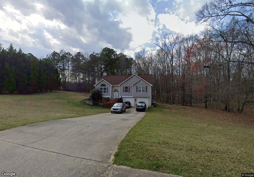
129 Brix Dr Locust Grove, GA 30248
Estimated Value: $291,052 - $323,000
4
Beds
3
Baths
2,206
Sq Ft
$138/Sq Ft
Est. Value
About This Home
This home is located at 129 Brix Dr, Locust Grove, GA 30248 and is currently estimated at $305,013, approximately $138 per square foot. 129 Brix Dr is a home located in Henry County with nearby schools including Unity Grove Elementary School, Locust Grove Middle School, and Locust Grove High School.
Ownership History
Date
Name
Owned For
Owner Type
Purchase Details
Closed on
Apr 28, 2006
Sold by
Dmd Assocs Inc
Bought by
Smith Vincent E
Current Estimated Value
Home Financials for this Owner
Home Financials are based on the most recent Mortgage that was taken out on this home.
Original Mortgage
$128,800
Outstanding Balance
$78,290
Interest Rate
7.38%
Mortgage Type
New Conventional
Estimated Equity
$226,723
Create a Home Valuation Report for This Property
The Home Valuation Report is an in-depth analysis detailing your home's value as well as a comparison with similar homes in the area
Home Values in the Area
Average Home Value in this Area
Purchase History
| Date | Buyer | Sale Price | Title Company |
|---|---|---|---|
| Smith Vincent E | $161,000 | -- |
Source: Public Records
Mortgage History
| Date | Status | Borrower | Loan Amount |
|---|---|---|---|
| Open | Smith Vincent E | $128,800 |
Source: Public Records
Tax History
| Year | Tax Paid | Tax Assessment Tax Assessment Total Assessment is a certain percentage of the fair market value that is determined by local assessors to be the total taxable value of land and additions on the property. | Land | Improvement |
|---|---|---|---|---|
| 2025 | $78 | $118,760 | $14,000 | $104,760 |
| 2024 | $78 | $118,320 | $14,000 | $104,320 |
| 2023 | $3,058 | $120,960 | $14,000 | $106,960 |
| 2022 | $2,792 | $88,320 | $14,000 | $74,320 |
| 2021 | $2,728 | $85,640 | $14,000 | $71,640 |
| 2020 | $2,477 | $75,000 | $12,000 | $63,000 |
| 2019 | $2,469 | $74,680 | $12,000 | $62,680 |
| 2018 | $2,299 | $67,480 | $10,800 | $56,680 |
| 2016 | $2,031 | $57,960 | $10,000 | $47,960 |
| 2015 | $1,859 | $52,320 | $10,000 | $42,320 |
| 2014 | $1,513 | $43,200 | $10,000 | $33,200 |
Source: Public Records
Map
Nearby Homes
- 192 Duncans Mill Dr
- 305 Annie Ln Unit 2
- 678 Seabolt Rd
- 705 Seabolt Rd
- 943 Colvin Dr
- 234 Thyme Leaf Way
- 111 Caraway Rd
- 108 Caraway Rd
- 168 Caraway Rd
- 31 Willow Creek Dr
- 2028 Big Cypress Ln
- 431 N Unity Grove Rd
- 307 Cinnamon Bark Pass
- 1555 Leguin Mill Rd
- 308 Cinnamon Bark Pass
- 933 Besse Way
- 230 Prescott St
- 524 Leguin Mill Rd
- 328 Cinnamon Bark Pass
- 104 Waratah Dr
Your Personal Tour Guide
Ask me questions while you tour the home.