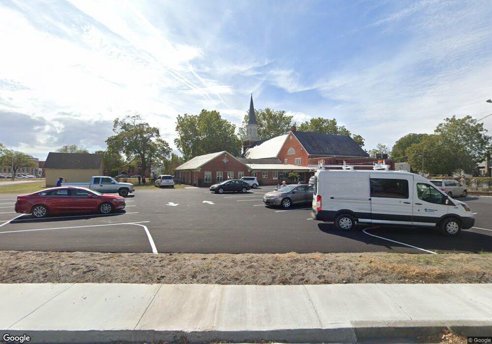
129 Broad St Salisbury, MD 21801
Newtown-North Division Neighborhood
Studio
--
Bath
--
Sq Ft
7,231
Sq Ft Lot
About This Home
This home is located at 129 Broad St, Salisbury, MD 21801. 129 Broad St is a home located in Wicomico County with nearby schools including West Salisbury Elementary School, North Salisbury Elementary School, and Salisbury Middle School.
Ownership History
Date
Name
Owned For
Owner Type
Purchase Details
Closed on
Apr 26, 2023
Sold by
Ni Wade James
Bought by
Newades Station Llc
Home Financials for this Owner
Home Financials are based on the most recent Mortgage that was taken out on this home.
Original Mortgage
$139,428
Outstanding Balance
$135,466
Interest Rate
6.27%
Mortgage Type
FHA
Purchase Details
Closed on
Dec 22, 2014
Sold by
Wicomico Presbyterian Properties Inc
Bought by
The Committee Of The Wicomico Presbyteri
Create a Home Valuation Report for This Property
The Home Valuation Report is an in-depth analysis detailing your home's value as well as a comparison with similar homes in the area
Home Values in the Area
Average Home Value in this Area
Purchase History
| Date | Buyer | Sale Price | Title Company |
|---|---|---|---|
| Newades Station Llc | $240,000 | None Listed On Document | |
| The Committee Of The Wicomico Presbyteri | -- | None Available |
Source: Public Records
Mortgage History
| Date | Status | Borrower | Loan Amount |
|---|---|---|---|
| Open | Newades Station Llc | $139,428 |
Source: Public Records
Tax History
| Year | Tax Paid | Tax Assessment Tax Assessment Total Assessment is a certain percentage of the fair market value that is determined by local assessors to be the total taxable value of land and additions on the property. | Land | Improvement |
|---|---|---|---|---|
| 2025 | -- | $36,100 | $36,100 | $0 |
| 2024 | -- | $36,100 | $36,100 | $0 |
| 2023 | $0 | $36,100 | $36,100 | $0 |
| 2022 | $368 | $36,100 | $36,100 | $0 |
| 2021 | $0 | $36,100 | $36,100 | $0 |
| 2020 | $0 | $36,100 | $36,100 | $0 |
| 2019 | $378 | $36,100 | $36,100 | $0 |
| 2018 | $20 | $35,467 | $0 | $0 |
| 2017 | $20 | $34,833 | $0 | $0 |
| 2016 | -- | $34,200 | $0 | $0 |
| 2015 | $611 | $34,200 | $0 | $0 |
| 2014 | $611 | $34,200 | $0 | $0 |
Source: Public Records
Map
Nearby Homes
- 304 Poplar Hill Ave
- 309 Gay St
- LOT D4 International Dr
- 208 W Isabella St
- 410 Elizabeth St
- 611 Lakeside Dr
- 411 Elizabeth St
- 609 Germania Cir
- 616 1 W Main St
- 810 N Division St
- 618 Baker St
- 530 Riverside Dr Unit 405
- 530 Riverside Dr Unit 202
- 405 Newton Terrace
- 231 Newton St
- 403 Rose St
- 317 Delaware Ave
- 701 Lake St Unit 1
- 711 E Church St
- 117 Washington St
- 207 Broad St
- 123 Broad St
- 209 Asbury Place
- 213 Asbury Place
- 211 Asbury Place
- 209 Broad St
- 112 E Chestnut St
- 115 Broad St
- 225 N Division St Unit 306
- 225 N Division St Unit 200
- 225 N Division St Unit 208
- 225 N Division St Unit 206
- 225 N Division St Unit 207
- 225 N Division St Unit 205
- 225 N Division St Unit 203
- 225 N Division St Unit 204
- 225 N Division St Unit 202
- 225 N Division St Unit 302
- 225 N Division St Unit 303
- 225 N Division St Unit 304
Your Personal Tour Guide
Ask me questions while you tour the home.