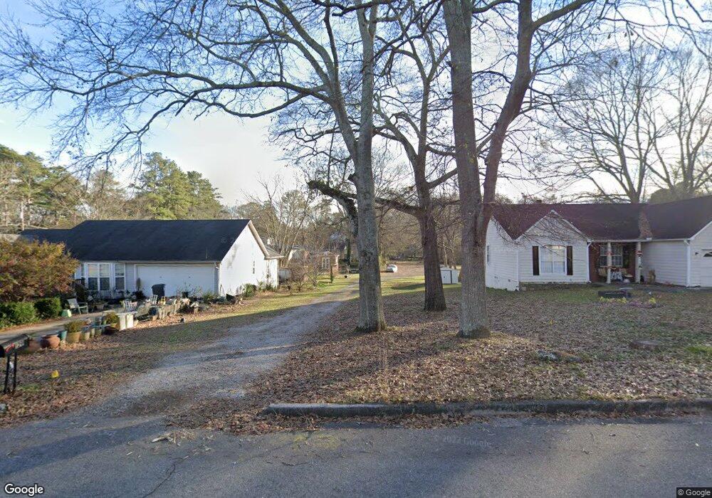
129 Burnside St Jonesboro, GA 30236
Estimated Value: $92,535 - $201,000
1
Bed
1
Bath
520
Sq Ft
$287/Sq Ft
Est. Value
About This Home
This home is located at 129 Burnside St, Jonesboro, GA 30236 and is currently estimated at $149,134, approximately $286 per square foot. 129 Burnside St is a home located in Clayton County with nearby schools including Suder Elementary School, Mundys Mill Middle School, and Jonesboro High School.
Ownership History
Date
Name
Owned For
Owner Type
Purchase Details
Closed on
Jul 15, 2024
Sold by
Brown Raymond
Bought by
Riley Gloria Jean
Current Estimated Value
Purchase Details
Closed on
Sep 11, 2015
Sold by
Greene Annie Ruth
Bought by
Brown Raymond and Brown Joyce
Purchase Details
Closed on
Sep 24, 2009
Sold by
Jtj Properties Llc
Bought by
Greene Annie R
Purchase Details
Closed on
Oct 17, 2008
Sold by
Greene Winston F
Bought by
Jtj Properties Llc
Purchase Details
Closed on
Mar 8, 2002
Sold by
Greyfield Resources Inc
Bought by
Brown Edward E
Purchase Details
Closed on
Jan 15, 1998
Sold by
Mccray Michael B and Mccray Susan R
Bought by
Oakmont Homes
Home Financials for this Owner
Home Financials are based on the most recent Mortgage that was taken out on this home.
Original Mortgage
$67,500
Interest Rate
7.19%
Mortgage Type
New Conventional
Create a Home Valuation Report for This Property
The Home Valuation Report is an in-depth analysis detailing your home's value as well as a comparison with similar homes in the area
Home Values in the Area
Average Home Value in this Area
Purchase History
| Date | Buyer | Sale Price | Title Company |
|---|---|---|---|
| Riley Gloria Jean | -- | -- | |
| Brown Raymond | -- | -- | |
| Greene Annie R | -- | -- | |
| Jtj Properties Llc | -- | -- | |
| Brown Edward E | -- | -- | |
| Oakmont Homes | $15,000 | -- |
Source: Public Records
Mortgage History
| Date | Status | Borrower | Loan Amount |
|---|---|---|---|
| Previous Owner | Oakmont Homes | $67,500 |
Source: Public Records
Tax History Compared to Growth
Tax History
| Year | Tax Paid | Tax Assessment Tax Assessment Total Assessment is a certain percentage of the fair market value that is determined by local assessors to be the total taxable value of land and additions on the property. | Land | Improvement |
|---|---|---|---|---|
| 2024 | $1,038 | $26,600 | $3,600 | $23,000 |
| 2023 | $819 | $22,680 | $3,600 | $19,080 |
| 2022 | $801 | $20,400 | $3,600 | $16,800 |
| 2021 | $716 | $18,120 | $3,600 | $14,520 |
| 2020 | $651 | $16,269 | $3,600 | $12,669 |
| 2019 | $551 | $13,962 | $2,800 | $11,162 |
| 2018 | $551 | $13,574 | $2,800 | $10,774 |
| 2017 | $353 | $8,679 | $2,800 | $5,879 |
| 2016 | $324 | $7,950 | $2,800 | $5,150 |
| 2015 | $321 | $0 | $0 | $0 |
| 2014 | $251 | $6,323 | $2,800 | $3,523 |
Source: Public Records
Map
Nearby Homes
- 192 Cloud St
- 116 Stewart Ave
- 0 State Highway 54
- 135 Main St
- 7559 Tara Blvd
- 109 Stockbridge Rd
- 215 King St
- 8857 Woodridge Ct
- 776 Jeb Stuart Dr
- 181 Dean St
- 242 Lake Jodeco Rd
- 761 Robert e Lee Pkwy
- 304 Mercer Dr
- 738 Dunaire Way
- 755 Dunaire Way
- 116 Thornton Dr
- 151 Irvin St
- 1250 Grove Pkwy
- 1433 Butler St
- 657 Utoy Ct
- 127 Burnside St
- 131 Burnside St
- 176 Cloud St
- 170 Cloud St
- 174 Cloud St
- 174 Cloud St Unit C
- 174 Cloud St Unit A
- 174 Cloud St Unit B
- 0 Burnside St Unit 7366898
- 0 Burnside St Unit 7091149
- 0 Burnside St
- 141 Burnside St
- 178 Cloud St
- 130 Burnside St
- 130 Burnside St
- 180 Cloud St
- 143 Burnside St
- 0 Cloud St Unit 8265617
- 0 Cloud St Unit 8228020
- 0 Cloud St Unit 8036292