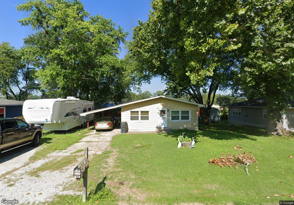
129 Carol Louise Dr Caseyville, IL 62232
Estimated Value: $98,976 - $233,000
--
Bed
--
Bath
1,176
Sq Ft
$126/Sq Ft
Est. Value
About This Home
This home is located at 129 Carol Louise Dr, Caseyville, IL 62232 and is currently estimated at $148,244, approximately $126 per square foot. 129 Carol Louise Dr is a home located in St. Clair County with nearby schools including Moye Elementary School, Fulton Junior High School, and O'Fallon Township High School.
Ownership History
Date
Name
Owned For
Owner Type
Purchase Details
Closed on
Dec 4, 2002
Sold by
Strong Kathy Sue and Bonkoski Agnes Louise
Bought by
Strong Kenneth and Strong Kathy
Current Estimated Value
Home Financials for this Owner
Home Financials are based on the most recent Mortgage that was taken out on this home.
Original Mortgage
$49,493
Interest Rate
6.38%
Mortgage Type
Purchase Money Mortgage
Create a Home Valuation Report for This Property
The Home Valuation Report is an in-depth analysis detailing your home's value as well as a comparison with similar homes in the area
Home Values in the Area
Average Home Value in this Area
Purchase History
| Date | Buyer | Sale Price | Title Company |
|---|---|---|---|
| Strong Kenneth | -- | First American Title Insuran |
Source: Public Records
Mortgage History
| Date | Status | Borrower | Loan Amount |
|---|---|---|---|
| Closed | Strong Kenneth | $49,493 |
Source: Public Records
Tax History Compared to Growth
Tax History
| Year | Tax Paid | Tax Assessment Tax Assessment Total Assessment is a certain percentage of the fair market value that is determined by local assessors to be the total taxable value of land and additions on the property. | Land | Improvement |
|---|---|---|---|---|
| 2024 | $1,589 | $29,218 | $2,401 | $26,817 |
| 2023 | $1,431 | $25,852 | $2,124 | $23,728 |
| 2022 | $1,270 | $23,390 | $2,081 | $21,309 |
| 2021 | $1,208 | $22,200 | $1,975 | $20,225 |
| 2020 | $1,190 | $21,029 | $1,871 | $19,158 |
| 2019 | $1,146 | $21,029 | $1,871 | $19,158 |
| 2018 | $1,116 | $20,574 | $2,000 | $18,574 |
| 2017 | $1,079 | $19,740 | $1,919 | $17,821 |
| 2016 | $1,066 | $19,295 | $1,876 | $17,419 |
| 2014 | $1,083 | $20,541 | $2,083 | $18,458 |
| 2013 | $1,122 | $20,919 | $2,121 | $18,798 |
Source: Public Records
Map
Nearby Homes
- 28 Geneva Dr
- 1012 Crooked Stick Dr
- 107 Bethel Mine Rd
- 690 Vinci Dr
- 1128 Pisa Dr
- 678 Prato Ct
- 7751 N Illinois St
- 7745 N Illinois St
- 0 Walker Meadows Subdivision
- 0 Boreal Ridge Subdivision
- 7978 Boreal Ridge
- 305 Forest Oaks Dr
- 38 Edgewood Ln
- 124 Long Branch Ln
- 8026 Tahoe Ridge
- 0 Tahoe Ridge Subdivision
- 8038 Tahoe Ridge
- 1130 Elbow Hill Ct
- 1134 Elbow Hill Ct
- 7923 Sonora Ridge
- 125 Carol Louise Dr
- 133 Carol Louise Dr
- 121 Carol Louise Dr
- 137 Carol Louise Dr
- 132 Carol Louise Dr
- 117 Carol Louise Dr
- 11 Hazelwood Dr
- 141 Carol Louise Dr
- 138 Carol Louise Dr
- 116 Carol Louise Dr
- 9 Hazelwood Dr
- 24 Geneva Dr
- 145 Carol Louise Dr
- 12 Hazelwood Dr
- 108 Carol Louise Dr
- 10 Hazelwood Dr
- 109 Carol Louise Dr
- 21 Geneva Dr
- 13 Hazelwood Dr
- 105 Carol Louise Dr