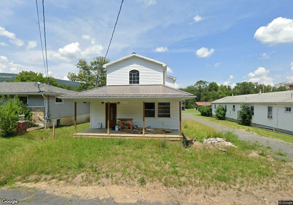
129 Carroll Ave Keyser, WV 26726
Estimated Value: $167,544 - $222,000
3
Beds
2
Baths
2,392
Sq Ft
$78/Sq Ft
Est. Value
About This Home
This home is located at 129 Carroll Ave, Keyser, WV 26726 and is currently estimated at $187,636, approximately $78 per square foot. 129 Carroll Ave is a home.
Ownership History
Date
Name
Owned For
Owner Type
Purchase Details
Closed on
Nov 8, 2024
Sold by
Smith Randy and Smith Denise
Bought by
Kitzmiller Mya K
Current Estimated Value
Home Financials for this Owner
Home Financials are based on the most recent Mortgage that was taken out on this home.
Original Mortgage
$186,459
Outstanding Balance
$184,220
Interest Rate
6.12%
Mortgage Type
FHA
Estimated Equity
$3,416
Purchase Details
Closed on
Jun 22, 2018
Sold by
Poland Homer C
Bought by
Smith Randy L
Create a Home Valuation Report for This Property
The Home Valuation Report is an in-depth analysis detailing your home's value as well as a comparison with similar homes in the area
Home Values in the Area
Average Home Value in this Area
Purchase History
| Date | Buyer | Sale Price | Title Company |
|---|---|---|---|
| Kitzmiller Mya K | $189,900 | None Listed On Document | |
| Kitzmiller Mya K | $189,900 | None Listed On Document | |
| Smith Randy L | $5,000 | None Available |
Source: Public Records
Mortgage History
| Date | Status | Borrower | Loan Amount |
|---|---|---|---|
| Open | Kitzmiller Mya K | $186,459 | |
| Closed | Kitzmiller Mya K | $186,459 |
Source: Public Records
Tax History
| Year | Tax Paid | Tax Assessment Tax Assessment Total Assessment is a certain percentage of the fair market value that is determined by local assessors to be the total taxable value of land and additions on the property. | Land | Improvement |
|---|---|---|---|---|
| 2025 | $1,943 | $61,920 | $4,500 | $57,420 |
| 2024 | $1,943 | $45,780 | $4,500 | $41,280 |
| 2023 | $1,436 | $44,400 | $4,500 | $39,900 |
| 2022 | $1,276 | $40,680 | $4,500 | $36,180 |
| 2021 | $1,276 | $40,680 | $4,500 | $36,180 |
| 2020 | $597 | $19,020 | $4,500 | $14,520 |
| 2019 | $746 | $23,760 | $4,500 | $19,260 |
| 2018 | $746 | $23,760 | $4,500 | $19,260 |
| 2017 | $746 | $23,760 | $4,500 | $19,260 |
| 2016 | $746 | $23,760 | $4,500 | $19,260 |
| 2015 | $373 | $23,760 | $4,500 | $19,260 |
| 2014 | $373 | $23,760 | $4,500 | $19,260 |
Source: Public Records
Map
Nearby Homes
- 47 D St
- 114 D St
- 339 D St
- 150 152 E Piedmont St
- 117 W Piedmont St
- 99 Lee St
- 323 Richmond St
- 21416 Chesapeake Ave SW
- 60 Maple Ave Unit 62
- 139 S Main St
- 70 E Piedmont St
- 311 N Main St
- 168 N Main St
- 149 & 151 E Piedmont St
- 1345 Lynmar St
- 1525 Beacon St
- 574 S Water St
- 0 Hickory Hill Ln Unit MDAL2010136
- 23851 Squirrel Ridge Dr
- 0 Beverly Ave Unit MDAL2013310
- 186 Carroll Ave
- 163 Route 46
- 192 Route 46 Hwy E
- 0 E S Rt 46 143a-2 Unit 1008096430
- 0 E S Rt 46 143a-2 Unit MI9541243
- 140 W S Rt 46
- 136 Route 46 Hwy E
- 103-105 Carrol Ave
- 225 Route 46 Hwy E
- 214 W Virginia 46
- 130 Carroll Ave
- 118 Carroll Ave
- 678 W Piedmont St
- 120 Carroll Ave
- 142 Carroll Ave
- 682 W Piedmont St
- 60 Carrol Ave
- 131 Rte 46
- 690 W Piedmont St
- 167 Carroll Ave
Your Personal Tour Guide
Ask me questions while you tour the home.