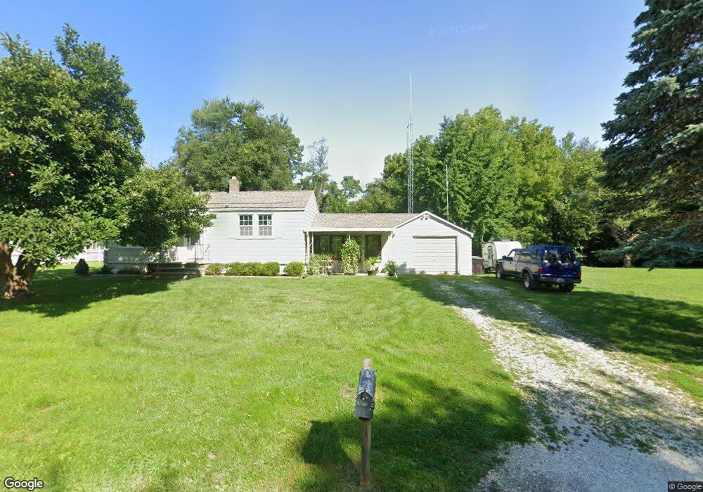
129 Carroll St East Peoria, IL 61611
Estimated Value: $106,000 - $137,000
1
Bed
1
Bath
600
Sq Ft
$197/Sq Ft
Est. Value
About This Home
This home is located at 129 Carroll St, East Peoria, IL 61611 and is currently estimated at $118,360, approximately $197 per square foot. 129 Carroll St is a home located in Tazewell County with nearby schools including Don D. Shute Elementary School, Lincoln Elementary School, and Central Junior High School.
Ownership History
Date
Name
Owned For
Owner Type
Purchase Details
Closed on
Jan 31, 2018
Sold by
Hill Brittnee N and Pierce Brittnee N
Bought by
Keller Timothy L and Keller Angie M
Current Estimated Value
Purchase Details
Closed on
Jun 3, 2009
Sold by
Street Tony L and The Street Irrevocable Trust
Bought by
Pierce Brittnee N
Home Financials for this Owner
Home Financials are based on the most recent Mortgage that was taken out on this home.
Original Mortgage
$42,000
Interest Rate
4.83%
Mortgage Type
Purchase Money Mortgage
Purchase Details
Closed on
Feb 27, 2009
Sold by
Street Clayton J
Bought by
Street Tony L and The Street Irrevocable Trust
Create a Home Valuation Report for This Property
The Home Valuation Report is an in-depth analysis detailing your home's value as well as a comparison with similar homes in the area
Home Values in the Area
Average Home Value in this Area
Purchase History
| Date | Buyer | Sale Price | Title Company |
|---|---|---|---|
| Keller Timothy L | $61,000 | First Community Title | |
| Pierce Brittnee N | $50,000 | None Available | |
| Street Tony L | -- | None Available |
Source: Public Records
Mortgage History
| Date | Status | Borrower | Loan Amount |
|---|---|---|---|
| Previous Owner | Pierce Brittnee N | $42,000 |
Source: Public Records
Tax History Compared to Growth
Tax History
| Year | Tax Paid | Tax Assessment Tax Assessment Total Assessment is a certain percentage of the fair market value that is determined by local assessors to be the total taxable value of land and additions on the property. | Land | Improvement |
|---|---|---|---|---|
| 2024 | $2,181 | $31,130 | $10,130 | $21,000 |
| 2023 | $2,181 | $28,580 | $9,300 | $19,280 |
| 2022 | $2,030 | $26,430 | $8,600 | $17,830 |
| 2021 | $1,925 | $25,410 | $8,270 | $17,140 |
| 2020 | $1,882 | $25,410 | $8,270 | $17,140 |
| 2019 | $1,869 | $25,410 | $8,270 | $17,140 |
| 2018 | $1,817 | $25,410 | $8,270 | $17,140 |
| 2017 | $1,895 | $26,460 | $7,750 | $18,710 |
| 2016 | $1,870 | $26,460 | $7,750 | $18,710 |
| 2015 | $1,761 | $0 | $0 | $0 |
| 2013 | $1,773 | $25,620 | $7,500 | $18,120 |
Source: Public Records
Map
Nearby Homes
- 106 Field Grove Rd
- 1604 Springfield Rd
- 1406 Springfield Rd
- 1203 Springfield Rd
- 2217 Springfield Rd
- 101 Woodbrook Ct
- 515 Briarbrook Dr
- 1004 Springfield Rd
- 129 Glenridge Dr
- 409 Briarbrook Dr
- 223 Kerfoot St
- 301 Briarbrook Dr
- Lot 1 Briarbrook Dr
- Lot 2 Briarbrook Dr
- 404 Rainbow Dr
- 108 Kohl St
- 015 Harris Rd
- Lot 4 Harris Rd
- 717 Bloomington Rd
- 0 Pinecrest Dr
- 125 Carroll St
- 128 Carroll St
- 123 Carroll St
- 126 Carroll St
- 116 Field Grove Rd
- 114 Field Grove Rd
- 124 Carroll St
- 121 Carroll St
- 201 Carroll St
- 112 Carroll St
- 112 Field Grove Rd
- 100 Field Grove Ct
- 117 Carroll St
- 110 Carroll St
- 110 Field Grove Rd
- 129 Lincoln Pkwy
- 102 Field Grove Ct
- 127 Lincoln Pkwy
- 108 Carroll St
- 113 Carroll St