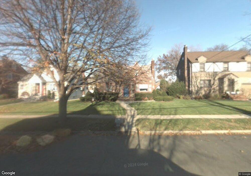
129 Central Ave Hasbrouck Heights, NJ 07604
Estimated Value: $691,000 - $729,515
Studio
--
Bath
2,243
Sq Ft
$317/Sq Ft
Est. Value
About This Home
This home is located at 129 Central Ave, Hasbrouck Heights, NJ 07604 and is currently estimated at $711,129, approximately $317 per square foot. 129 Central Ave is a home located in Bergen County with nearby schools including Hasbrouck Heights High School and Corpus Christi School.
Ownership History
Date
Name
Owned For
Owner Type
Purchase Details
Closed on
Jan 14, 2021
Sold by
Syrquin Michael Al
Bought by
Syrquin Michael Al and Mcparlan Lauren A
Current Estimated Value
Home Financials for this Owner
Home Financials are based on the most recent Mortgage that was taken out on this home.
Original Mortgage
$264,000
Outstanding Balance
$236,805
Interest Rate
3%
Mortgage Type
New Conventional
Estimated Equity
$474,324
Purchase Details
Closed on
Oct 22, 2012
Sold by
Pestrosino Phyllis and Petrosino Paula
Bought by
Syrquin Michael
Home Financials for this Owner
Home Financials are based on the most recent Mortgage that was taken out on this home.
Original Mortgage
$315,000
Interest Rate
3.5%
Mortgage Type
New Conventional
Purchase Details
Closed on
Jun 28, 2007
Sold by
Petrosino Patricia and Petrosino Paula D
Bought by
Petrosino Phyllis and Petrosino Paula
Create a Home Valuation Report for This Property
The Home Valuation Report is an in-depth analysis detailing your home's value as well as a comparison with similar homes in the area
Home Values in the Area
Average Home Value in this Area
Purchase History
| Date | Buyer | Sale Price | Title Company |
|---|---|---|---|
| Syrquin Michael Al | -- | Old Republic Title | |
| Syrquin Michael | $405,000 | -- | |
| Petrosino Phyllis | -- | -- |
Source: Public Records
Mortgage History
| Date | Status | Borrower | Loan Amount |
|---|---|---|---|
| Open | Syrquin Michael Al | $264,000 | |
| Previous Owner | Syrquin Michael | $315,000 |
Source: Public Records
Tax History
| Year | Tax Paid | Tax Assessment Tax Assessment Total Assessment is a certain percentage of the fair market value that is determined by local assessors to be the total taxable value of land and additions on the property. | Land | Improvement |
|---|---|---|---|---|
| 2025 | $13,682 | $535,500 | $236,300 | $299,200 |
| 2024 | $13,241 | $535,500 | $236,300 | $299,200 |
| 2023 | $12,254 | $513,800 | $226,300 | $287,500 |
| 2022 | $12,254 | $455,200 | $208,800 | $246,400 |
| 2021 | $12,284 | $435,000 | $196,300 | $238,700 |
| 2020 | $12,148 | $422,400 | $188,800 | $233,600 |
| 2019 | $11,810 | $415,100 | $186,300 | $228,800 |
| 2018 | $11,630 | $407,800 | $183,800 | $224,000 |
| 2017 | $11,438 | $400,500 | $181,300 | $219,200 |
| 2016 | $11,512 | $379,300 | $171,300 | $208,000 |
| 2015 | $11,326 | $379,300 | $171,300 | $208,000 |
| 2014 | $11,015 | $379,300 | $171,300 | $208,000 |
Source: Public Records
Map
Nearby Homes
- 8800 Boulevard Unit 4B
- 74 Kipp Ave
- 14 Jefferson Ave Unit 16
- 117 Central Ave
- 309 Ottawa Ave
- 163 Grove St
- 270 Hamilton Ave
- 460 Boulevard
- 209 Union St Unit 4
- 417 Franklin Ave
- 140 Prospect St
- 175 Union St
- 252 Church St
- 221 Passaic Ave
- 14 Passaic Ave
- 183 Terhune Ave Unit 3
- 93 Richmond St
- 61 Spring St
- 183c Terhune Ave Unit C
- 102 Charlton Ave
- 125 Central Ave
- 133 Central Ave
- 137 Central Ave
- 130 Madison Ave
- 141 Central Ave
- 117 Central Ave
- 126 Madison Ave
- 132 Madison Ave
- 120 Madison Ave
- 138 Madison Ave
- 113 Avenue E
- 113 Central Ave
- 142 Madison Ave
- 118 Madison Ave
- 134 Central Ave
- 134 Central Ave Unit 2
- 126 Central Ave
- 122 Central Ave
- 109 Avenue E
- 146 Madison Ave
Your Personal Tour Guide
Ask me questions while you tour the home.