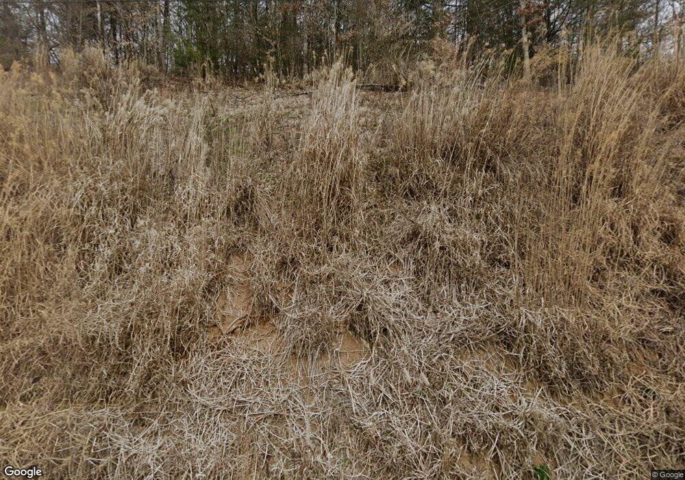
129 Chandler Branch Rd Weaverville, NC 28787
Estimated Value: $626,000
--
Bed
1
Bath
1,278
Sq Ft
$490/Sq Ft
Est. Value
About This Home
This home is located at 129 Chandler Branch Rd, Weaverville, NC 28787 and is currently estimated at $626,000, approximately $489 per square foot. 129 Chandler Branch Rd is a home with nearby schools including Madison Middle School.
Ownership History
Date
Name
Owned For
Owner Type
Purchase Details
Closed on
Jul 3, 2007
Sold by
Rumson Payul Melvin and Rumson Barbara Ann
Bought by
Deneef Jason and Deneef Kristen
Current Estimated Value
Home Financials for this Owner
Home Financials are based on the most recent Mortgage that was taken out on this home.
Original Mortgage
$454,800
Outstanding Balance
$267,542
Interest Rate
5.4%
Mortgage Type
Adjustable Rate Mortgage/ARM
Estimated Equity
$358,458
Create a Home Valuation Report for This Property
The Home Valuation Report is an in-depth analysis detailing your home's value as well as a comparison with similar homes in the area
Home Values in the Area
Average Home Value in this Area
Purchase History
| Date | Buyer | Sale Price | Title Company |
|---|---|---|---|
| Deneef Jason | -- | None Available |
Source: Public Records
Mortgage History
| Date | Status | Borrower | Loan Amount |
|---|---|---|---|
| Open | Deneef Jason | $454,800 |
Source: Public Records
Tax History Compared to Growth
Tax History
| Year | Tax Paid | Tax Assessment Tax Assessment Total Assessment is a certain percentage of the fair market value that is determined by local assessors to be the total taxable value of land and additions on the property. | Land | Improvement |
|---|---|---|---|---|
| 2024 | $2,499 | $504,169 | $137,174 | $366,995 |
| 2023 | $1,935 | $292,577 | $74,689 | $217,888 |
| 2022 | $1,935 | $292,577 | $74,689 | $217,888 |
| 2021 | $1,935 | $292,577 | $74,689 | $217,888 |
| 2020 | $1,935 | $292,577 | $74,689 | $217,888 |
| 2019 | $1,900 | $267,686 | $67,899 | $199,787 |
| 2018 | $1,660 | $0 | $0 | $0 |
| 2017 | $1,660 | $0 | $0 | $0 |
| 2016 | $1,660 | $0 | $0 | $0 |
| 2015 | -- | $0 | $0 | $0 |
| 2014 | -- | $267,686 | $67,899 | $199,787 |
| 2013 | -- | $267,686 | $67,899 | $199,787 |
Source: Public Records
Map
Nearby Homes
- 169 Pickens Rd
- 99999 Rocky Hollow Unit Tract2
- 99999 Rocky Hollow Unit Tract 3
- 9999 Palmer Ford Rd
- 124 Palmer Ford Rd
- 0 Old Burnsville Rd
- 136 Locust Grove Rd
- 844 Settlers Trail
- 45 Wilde Hollow Dr
- 388 Settlers Trail Unit 32
- 690 Settlers Trail
- 35 Settlers Trail Unit 35
- 926 Settlers Trail
- 1020 Settlers Trail Unit 30
- 9999 Settlers Trail Unit 52
- 9999 Settlers Trail Unit 51
- 9999 Settlers Trail Unit 49
- 9999 Settlers Trail Unit 48
- 9999 Settlers Trail Unit 46
- 9999 Settlers Trail Unit 45
- 291 Chandler Branch Rd
- 00 Lower Gabriels Creek Rd
- 153 Chandler Branch Rd
- 164 Chandler Branch Rd
- 120 Chandler Branch Rd
- 119 Chandler Branch Rd
- 0 Fox Cove Unit NCM453965
- 21 Fox Cove
- 30 Six String Way
- 151 Chandler Branch Rd
- 264 Chandler Branch Rd
- 96 Six String Way
- 3314 Lower Gabriels Creek Rd
- (Pasture Land) Lower Gabriels Creek Rd
- 000 Lower Gabriels Creek Rd
- 360 Chandler Branch Rd
- Pasture Land & Stall Lower Gabriels Creek Rd
- (ONLY Pasture Land) Lower Gabriels Creek Rd
- 123 Chandler Branch Rd
- 159 Chandler Branch Rd
