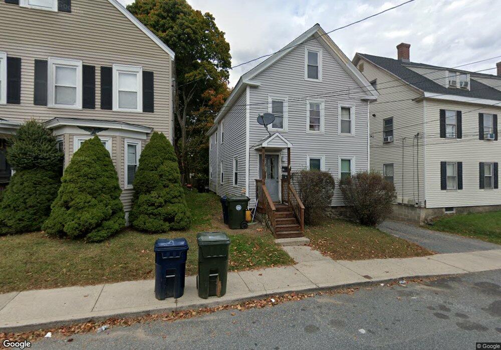
129 Chestnut St Marlborough, MA 01752
French Hill NeighborhoodEstimated Value: $507,540 - $618,000
3
Beds
2
Baths
1,660
Sq Ft
$340/Sq Ft
Est. Value
About This Home
This home is located at 129 Chestnut St, Marlborough, MA 01752 and is currently estimated at $565,135, approximately $340 per square foot. 129 Chestnut St is a home located in Middlesex County with nearby schools including Marlborough High School, New Covenant Christian School, and Glenhaven Academy - JRI School.
Ownership History
Date
Name
Owned For
Owner Type
Purchase Details
Closed on
Aug 29, 1996
Sold by
Capra 21 Rt
Bought by
129 Chestnut Street Rt
Current Estimated Value
Home Financials for this Owner
Home Financials are based on the most recent Mortgage that was taken out on this home.
Original Mortgage
$58,050
Outstanding Balance
$4,976
Interest Rate
8.18%
Mortgage Type
Purchase Money Mortgage
Estimated Equity
$560,159
Create a Home Valuation Report for This Property
The Home Valuation Report is an in-depth analysis detailing your home's value as well as a comparison with similar homes in the area
Home Values in the Area
Average Home Value in this Area
Purchase History
| Date | Buyer | Sale Price | Title Company |
|---|---|---|---|
| 129 Chestnut Street Rt | $64,500 | -- |
Source: Public Records
Mortgage History
| Date | Status | Borrower | Loan Amount |
|---|---|---|---|
| Open | 129 Chestnut Street Rt | $58,050 |
Source: Public Records
Tax History Compared to Growth
Tax History
| Year | Tax Paid | Tax Assessment Tax Assessment Total Assessment is a certain percentage of the fair market value that is determined by local assessors to be the total taxable value of land and additions on the property. | Land | Improvement |
|---|---|---|---|---|
| 2025 | $4,595 | $466,000 | $135,400 | $330,600 |
| 2024 | $4,238 | $413,900 | $123,100 | $290,800 |
| 2023 | $4,288 | $371,600 | $83,600 | $288,000 |
| 2022 | $4,088 | $311,600 | $79,600 | $232,000 |
| 2021 | $3,830 | $277,500 | $59,900 | $217,600 |
| 2020 | $3,684 | $259,800 | $58,300 | $201,500 |
| 2019 | $3,495 | $248,400 | $57,200 | $191,200 |
| 2018 | $3,543 | $242,200 | $70,000 | $172,200 |
| 2017 | $3,059 | $199,700 | $70,000 | $129,700 |
| 2016 | $2,889 | $188,300 | $70,000 | $118,300 |
| 2015 | $2,637 | $167,300 | $72,200 | $95,100 |
Source: Public Records
Map
Nearby Homes
- 156 Chestnut St
- 118 Elm St
- 73 Howland St
- 11 Paris St
- 76 Broad St
- 52 Norwood St
- 29 Elm St
- 30 Broad St Unit 104
- 30A Winter Ave
- 8 Saint Mary's Way Unit 8
- 63 W Main St
- 280 Elm St Unit A6
- 91 Maplewood Ave
- 53 Russell St
- 32 Water St
- 27 Jefferson St
- 27 Jefferson St Unit 204
- 71 Hudson St
- 272 Lincoln St Unit 102
- 272 Lincoln St Unit 101
- 131 Chestnut St
- 8 Franklin St
- 135 Chestnut St
- 130 Chestnut St
- 130 Chestnut St Unit 1
- 130 Chestnut St Unit 2
- 12 Franklin St
- 124 Chestnut St
- 120 Chestnut St
- 120 Chestnut St Unit 1
- 11 Sumner St
- 18 Franklin St
- 136 Chestnut St
- 136 Chestnut St
- 136 Chestnut St Unit 1
- 143 Chestnut St
- 143 Chestnut St Unit 2
- 143 Chestnut St Unit 1
- 140 Chestnut St
- 116 Chestnut St