129 Creekstone Trail Calera, AL 35040
Estimated Value: $217,000 - $226,000
--
Bed
--
Bath
1,224
Sq Ft
$181/Sq Ft
Est. Value
About This Home
This home is located at 129 Creekstone Trail, Calera, AL 35040 and is currently estimated at $221,844, approximately $181 per square foot. 129 Creekstone Trail is a home located in Shelby County with nearby schools including Calera Intermediate School, Calera Elementary School, and Calera Middle School.
Ownership History
Date
Name
Owned For
Owner Type
Purchase Details
Closed on
Jul 11, 2011
Sold by
Lovelady Charles F and Lovelady Yvonne Majure Sheriden
Bought by
Lovelady Charles F and Lovelady Yvonne Majure Sheridan
Current Estimated Value
Purchase Details
Closed on
Aug 24, 2004
Sold by
Tower Development Inc
Bought by
Lovelady Charles F
Home Financials for this Owner
Home Financials are based on the most recent Mortgage that was taken out on this home.
Original Mortgage
$90,700
Outstanding Balance
$44,229
Interest Rate
5.75%
Mortgage Type
Purchase Money Mortgage
Estimated Equity
$177,615
Create a Home Valuation Report for This Property
The Home Valuation Report is an in-depth analysis detailing your home's value as well as a comparison with similar homes in the area
Home Values in the Area
Average Home Value in this Area
Purchase History
| Date | Buyer | Sale Price | Title Company |
|---|---|---|---|
| Lovelady Charles F | -- | None Available | |
| Lovelady Charles F | $113,400 | -- |
Source: Public Records
Mortgage History
| Date | Status | Borrower | Loan Amount |
|---|---|---|---|
| Open | Lovelady Charles F | $90,700 | |
| Closed | Lovelady Charles F | $22,680 |
Source: Public Records
Tax History Compared to Growth
Tax History
| Year | Tax Paid | Tax Assessment Tax Assessment Total Assessment is a certain percentage of the fair market value that is determined by local assessors to be the total taxable value of land and additions on the property. | Land | Improvement |
|---|---|---|---|---|
| 2024 | $1,029 | $19,060 | $0 | $0 |
| 2023 | $863 | $18,480 | $0 | $0 |
| 2022 | $684 | $14,720 | $0 | $0 |
| 2021 | $618 | $13,320 | $0 | $0 |
| 2020 | $575 | $12,420 | $0 | $0 |
| 2019 | $550 | $11,900 | $0 | $0 |
| 2017 | $545 | $11,780 | $0 | $0 |
| 2015 | $557 | $12,040 | $0 | $0 |
| 2014 | $561 | $12,120 | $0 | $0 |
Source: Public Records
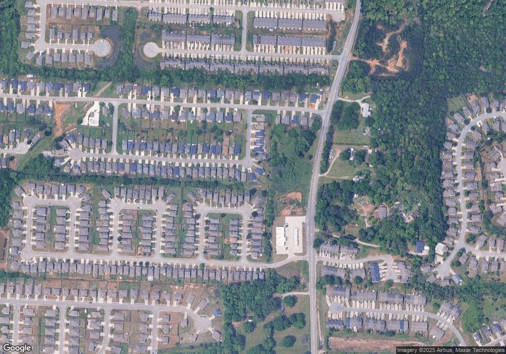
Map
Nearby Homes
- 112 Stonecreek Place
- 5714 Smokey Rd
- 205 the Heights Dr
- 316 Union Station Way
- 212 Creekstone Trail
- 511 Union Station Place
- 623 the Heights Ln
- 157 Union Station Dr
- 173 Union Station Dr
- 562 the Heights Ln
- 656 the Heights Ln
- 2051 Rossburg Place
- 302 Nottingham Dr
- 253 Union Station Dr
- 589 Waterstone Dr
- 796 Michelle Manor
- 218 Nottingham Dr
- 244 Koslin Loop
- 143 King Richards Way
- The Penwell Plan at Koslin Farms
- 133 Creekstone Trail
- 125 Creekstone Trail
- 338 Union Station Way Unit 31
- 338 Union Station Way
- 137 Creekstone Trail
- 332 Union Station Way
- 332 Union Station Way Unit 32
- 340 Union Station Way
- 141 Creekstone Trail
- 344 Union Station Way Unit 29
- 344 Union Station Way
- 145 Creekstone Trail
- 328 Union Station Way Unit 98
- 328 Union Station Way
- 348 Union Station Way Unit 28
- 348 Union Station Way
- 117 Creekstone Trail
- 136 Creekstone Trail
- 149 Creekstone Trail
- 352 Union Station Way Unit 27