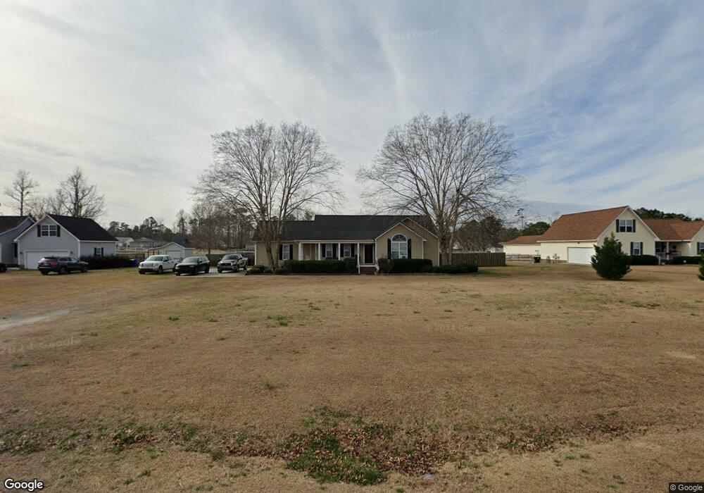
129 Derby Ln Hampstead, NC 28443
Estimated Value: $344,448 - $370,000
3
Beds
2
Baths
1,368
Sq Ft
$260/Sq Ft
Est. Value
About This Home
This home is located at 129 Derby Ln, Hampstead, NC 28443 and is currently estimated at $356,362, approximately $260 per square foot. 129 Derby Ln is a home located in Pender County with nearby schools including South Topsail Elementary School, Topsail Middle School, and Topsail High School.
Ownership History
Date
Name
Owned For
Owner Type
Purchase Details
Closed on
Jun 29, 2007
Sold by
Dale Christopher L and Dale Kelly A
Bought by
Branson John W and Branson Donna
Current Estimated Value
Home Financials for this Owner
Home Financials are based on the most recent Mortgage that was taken out on this home.
Original Mortgage
$233,297
Outstanding Balance
$143,209
Interest Rate
6.16%
Mortgage Type
FHA
Estimated Equity
$213,153
Create a Home Valuation Report for This Property
The Home Valuation Report is an in-depth analysis detailing your home's value as well as a comparison with similar homes in the area
Home Values in the Area
Average Home Value in this Area
Purchase History
| Date | Buyer | Sale Price | Title Company |
|---|---|---|---|
| Branson John W | $237,000 | -- |
Source: Public Records
Mortgage History
| Date | Status | Borrower | Loan Amount |
|---|---|---|---|
| Open | Branson John W | $233,297 |
Source: Public Records
Tax History Compared to Growth
Tax History
| Year | Tax Paid | Tax Assessment Tax Assessment Total Assessment is a certain percentage of the fair market value that is determined by local assessors to be the total taxable value of land and additions on the property. | Land | Improvement |
|---|---|---|---|---|
| 2024 | $1,870 | $180,498 | $44,200 | $136,298 |
| 2023 | $1,870 | $180,498 | $44,200 | $136,298 |
| 2022 | $1,723 | $180,498 | $44,200 | $136,298 |
| 2021 | $1,723 | $180,498 | $44,200 | $136,298 |
| 2020 | $1,723 | $180,498 | $44,200 | $136,298 |
| 2019 | $1,723 | $180,498 | $44,200 | $136,298 |
| 2018 | $1,583 | $156,236 | $37,500 | $118,736 |
| 2017 | $1,583 | $156,236 | $37,500 | $118,736 |
| 2016 | $1,568 | $156,236 | $37,500 | $118,736 |
| 2015 | $1,533 | $156,236 | $37,500 | $118,736 |
| 2014 | $1,219 | $156,236 | $37,500 | $118,736 |
| 2013 | -- | $156,236 | $37,500 | $118,736 |
| 2012 | -- | $156,236 | $37,500 | $118,736 |
Source: Public Records
Map
Nearby Homes
- 122 Derby Ln
- 324 Knollwood Dr
- 4447 Nc Highway 210
- 313 Oakmont Dr
- 463 Avendale Dr
- 380 Avendale Dr
- 70 Thornbury Dr
- Vienna 2080 Plan at Wylie Branch
- Avalon Plan at Wylie Branch
- Marvin Plan at Wylie Branch
- Vienna B Plan at Wylie Branch
- Hickory Plan at Wylie Branch
- Finley Plan at Wylie Branch
- Vienna w/ Bonus Plan at Wylie Branch
- Laura E Plan at Wylie Branch
- Vienna 1788 Plan at Wylie Branch
- Laura D Plan at Wylie Branch
- Burton Plan at Wylie Branch
- Palomar Plan at Wylie Branch
- Brookings Plan at Wylie Branch