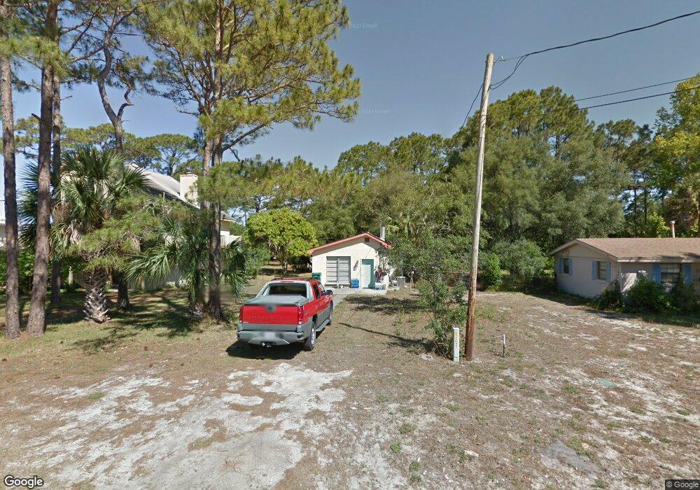
129 Desoto St Port Saint Joe, FL 32456
Saint Joe Beach NeighborhoodEstimated Value: $238,296 - $354,000
2
Beds
1
Bath
840
Sq Ft
$353/Sq Ft
Est. Value
About This Home
This home is located at 129 Desoto St, Port Saint Joe, FL 32456 and is currently estimated at $296,148, approximately $352 per square foot. 129 Desoto St is a home located in Gulf County.
Ownership History
Date
Name
Owned For
Owner Type
Purchase Details
Closed on
Jun 17, 2019
Sold by
Stevens Jackey Don and Stevens Charlotte R
Bought by
Hall Byron S
Current Estimated Value
Home Financials for this Owner
Home Financials are based on the most recent Mortgage that was taken out on this home.
Original Mortgage
$89,600
Outstanding Balance
$48,416
Interest Rate
4.1%
Mortgage Type
Unknown
Estimated Equity
$247,732
Purchase Details
Closed on
Jun 5, 2001
Sold by
Stevens Jackey Don and Stevens Charlotte R
Bought by
Stevens Jackey Don and Stevens Charlotte R
Home Financials for this Owner
Home Financials are based on the most recent Mortgage that was taken out on this home.
Original Mortgage
$51,254
Interest Rate
7.14%
Purchase Details
Closed on
Jun 25, 1990
Sold by
Morgan William S
Bought by
Royer Brenda M and Royer James C
Home Financials for this Owner
Home Financials are based on the most recent Mortgage that was taken out on this home.
Interest Rate
10.16%
Create a Home Valuation Report for This Property
The Home Valuation Report is an in-depth analysis detailing your home's value as well as a comparison with similar homes in the area
Home Values in the Area
Average Home Value in this Area
Purchase History
| Date | Buyer | Sale Price | Title Company |
|---|---|---|---|
| Hall Byron S | $112,000 | Attorney | |
| Stevens Jackey Don | $52,000 | -- | |
| Royer Brenda M | -- | -- |
Source: Public Records
Mortgage History
| Date | Status | Borrower | Loan Amount |
|---|---|---|---|
| Open | Hall Byron S | $89,600 | |
| Previous Owner | Stevens Jackey Don | $51,254 | |
| Previous Owner | Royer Brenda M | -- | |
| Closed | Royer Brenda M | $0 |
Source: Public Records
Tax History Compared to Growth
Tax History
| Year | Tax Paid | Tax Assessment Tax Assessment Total Assessment is a certain percentage of the fair market value that is determined by local assessors to be the total taxable value of land and additions on the property. | Land | Improvement |
|---|---|---|---|---|
| 2024 | $1,601 | $140,000 | $140,000 | -- |
| 2023 | $1,779 | $119,790 | $0 | $0 |
| 2022 | $1,648 | $150,000 | $150,000 | $0 |
| 2021 | $1,346 | $100,000 | $100,000 | $0 |
| 2020 | $1,250 | $90,000 | $90,000 | $0 |
| 2019 | $1,005 | $71,400 | $71,400 | $0 |
| 2018 | $1,407 | $98,557 | $0 | $0 |
| 2017 | $1,316 | $92,602 | $0 | $0 |
| 2016 | $1,234 | $83,047 | $0 | $0 |
| 2015 | $1,273 | $83,492 | $0 | $0 |
| 2014 | $1,206 | $83,938 | $0 | $0 |
Source: Public Records
Map
Nearby Homes
- 135 Desoto St
- 211 Cortez St
- Lot 19 Cortez St
- 262 Cortez St
- Lot 3 Americus Ave
- 6661 Americus Ave
- 10 Ponce de Leon St
- 135 Balboa St
- 7608 Alabama Ave
- Lot 11 Ward St
- Lot 14 Ward St
- 7220 Americus Ave
- 229 Balboa St
- Lot 14 Monroe Ct
- 7121 Americus Ave
- 7924 W Highway 98 Unit Lot 2
- 7924 W Hwy 98
- 254 Court St
- 7246 Alabama Ave
- 346 Ponce de Leon St
- 123 Desoto St
- 124 Cortez St
- 7518 W Highway 98
- 7512 W Highway 98
- 7524 W Highway 98
- 141 Desoto St
- 7517 Americus Ave
- 7530 W Highway 98
- 118 Desoto St Unit A
- 118 Desoto St Unit B
- 7530 W Highway 98
- 118 Desoto St
- 7536 W Highway 98
- 7536 W Highway 98
- 138 Desoto St
- 7593 Americus Ave
- 130 Desoto St
- 7446 W Highway 98
- 7458 W Highway 98
- 7465 Americus Ave