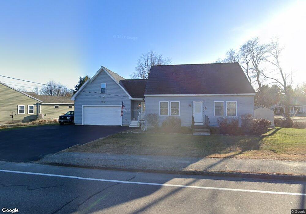
129 E Bridge St Westbrook, ME 04092
Estimated Value: $470,000 - $537,307
About This Home
This home is located at 129 E Bridge St, Westbrook, ME 04092 and is currently estimated at $502,577, approximately $368 per square foot. 129 E Bridge St is a home located in Cumberland County with nearby schools including Westbrook High School, Breakwater School, and St. Brigid School.
Ownership History
We collect this data history from publicly available records. To have your information removed, we recommend requesting removal directly through your county’s website.
Purchase Details
Home Financials for this Owner
Home Financials are based on the most recent Mortgage that was taken out on this home.Home Values in the Area
Average Home Value in this Area
Purchase History
We collect this data history from publicly available records. To have your information removed, we recommend requesting removal directly through your county’s website.
| Date | Buyer | Sale Price | Title Company |
|---|---|---|---|
| -- | -- |
Mortgage History
We collect this data history from publicly available records. To have your information removed, we recommend requesting removal directly through your county’s website.
| Date | Status | Borrower | Loan Amount |
|---|---|---|---|
| Open | $190,000 |
Tax History
We collect this data history from publicly available records. To have your information removed, we recommend requesting removal directly through your county’s website.
| Year | Tax Paid | Tax Assessment Tax Assessment Total Assessment is a certain percentage of the fair market value that is determined by local assessors to be the total taxable value of land and additions on the property. | Land | Improvement |
|---|---|---|---|---|
| 2023 | $5,207 | $312,200 | $73,600 | $238,600 |
| 2022 | $4,722 | $260,900 | $61,200 | $199,700 |
| 2021 | $4,652 | $260,900 | $61,200 | $199,700 |
| 2020 | $4,660 | $260,900 | $61,200 | $199,700 |
| 2019 | $4,660 | $260,900 | $61,200 | $199,700 |
| 2018 | $4,485 | $224,800 | $53,200 | $171,600 |
| 2017 | $4,244 | $224,800 | $53,200 | $171,600 |
| 2016 | $4,136 | $224,800 | $53,200 | $171,600 |
| 2015 | $4,037 | $224,800 | $53,200 | $171,600 |
| 2014 | $3,867 | $224,800 | $53,200 | $171,600 |
| 2013 | $3,867 | $224,800 | $53,200 | $171,600 |
Map
- 1 Hemphill Dr
- 19 Alberta Dr
- 7 Collins Place Unit 6
- 7 Apex Dr Unit 2
- 5 Apex Dr Unit 1
- 43 Ennis St
- 28 Fawn Woods Way Unit 28
- 3 Collins Place Unit 5
- 162 Halidon Rd
- 418 Bridge St
- 15 Woodland Rd
- 19 Beechwood Ave
- 37 Ethel Ave Unit 6
- 33 Brown St
- 329 Austin St
- 30 Cottage Place
- 9 Cottage Place
- 23 Railway Ave
- 171 Carlson St
- 383 Main St
Ask me questions while you tour the home.