129 E Fork Rd Lower Salem, OH 45745
Estimated Value: $106,430 - $236,000
About This Home
This home is located at 129 E Fork Rd, Lower Salem, OH 45745 and is currently estimated at $180,477, approximately $78 per square foot. 129 E Fork Rd is a home with nearby schools including Fort Frye High School.
Ownership History
We collect this data history from publicly available records. To have your information removed, we recommend requesting removal directly through your county’s website.
Purchase Details
Purchase Details
Purchase Details
Purchase History
We collect this data history from publicly available records. To have your information removed, we recommend requesting removal directly through your county’s website.
| Date | Buyer | Sale Price | Title Company |
|---|---|---|---|
| -- | Attorney | ||
| -- | -- | ||
| -- | -- |
Tax History
We collect this data history from publicly available records. To have your information removed, we recommend requesting removal directly through your county’s website.
| Year | Tax Paid | Tax Assessment Tax Assessment Total Assessment is a certain percentage of the fair market value that is determined by local assessors to be the total taxable value of land and additions on the property. | Land | Improvement |
|---|---|---|---|---|
| 2025 | $718 | $24,150 | $7,740 | $16,410 |
| 2024 | $718 | $19,100 | $5,950 | $13,150 |
| 2023 | $600 | $19,100 | $5,950 | $13,150 |
| 2022 | $574 | $19,100 | $5,950 | $13,150 |
| 2021 | $448 | $14,420 | $4,490 | $9,930 |
| 2020 | $448 | $14,420 | $4,490 | $9,930 |
| 2019 | $448 | $13,430 | $3,500 | $9,930 |
| 2018 | $446 | $13,320 | $3,390 | $9,930 |
| 2017 | $433 | $12,890 | $2,960 | $9,930 |
| 2016 | $810 | $12,890 | $2,960 | $9,930 |
| 2015 | $521 | $14,870 | $3,030 | $11,840 |
| 2014 | $929 | $14,870 | $3,030 | $11,840 |
| 2013 | $519 | $14,870 | $3,030 | $11,840 |
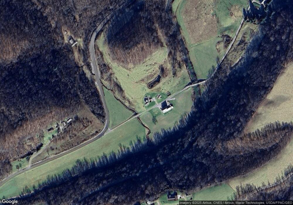
Map
- 0 Harrietsville Sr 145 Rd Unit 5209582
- 0 Highland Ridge Rd
- 6886 State Route 821
- 34799 Paw Rd
- 3275 Highland Ridge Rd
- 360 E Henniger Rd
- 7455 Stanleyville Rd
- 0 County Road 46
- 37795 Sheepskin Ridge Rd
- 37500 Goose Run Rd
- 0 Goose Run Rd Unit 11694333
- 5170 State Route 821
- 3590 Stanleyville Rd
- 3825 Stanleyville Rd
- 8292 State Route 60
- 0 E Branch Rd Unit 5199023
- 0 E Branch Rd Unit 5199004
- 0 E Branch Rd Unit 5199019
- 0 E Branch Rd Unit 5199012
- Lot 3 Moss Run Rd
- 335 Stille Rd
- 392 E Fork Rd
- 150 Stille Rd
- 30 Wetzler Rd
- 1205 State Route 145 Rd
- 454 Wetzler Rd
- 1281 E Fork Rd
- 625 State Route 145 Rd
- 1290 E Fork Rd
- 1100 E Fork Rd
- 347 Main St
- 347 Main St
- 325 Wetzler Rd
- 180 Baker Ridge Rd
- 343 Main St
- 33 Pontius Rd
- 370 Peaker Run Rd
- 341 Main St
- 3025 Stille Rd
- 2465 State Route 145 Rd
Ask me questions while you tour the home.