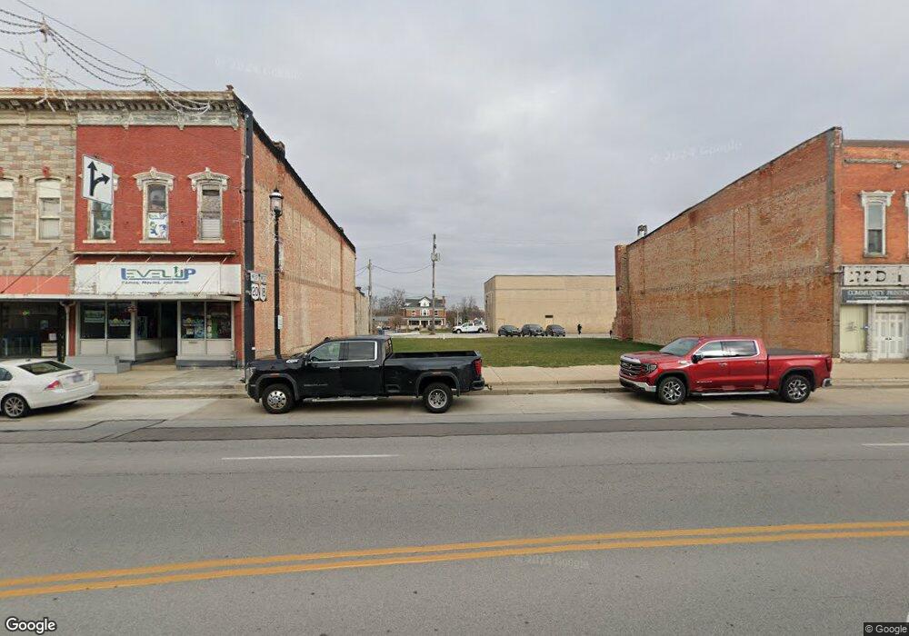
129 E Main St Bellevue, OH 44811
Estimated Value: $39,872
Studio
--
Bath
2,000
Sq Ft
$20/Sq Ft
Est. Value
About This Home
This home is located at 129 E Main St, Bellevue, OH 44811 and is currently estimated at $39,872, approximately $19 per square foot. 129 E Main St is a home located in Huron County with nearby schools including Bellevue Elementary School, Bellevue Middle School, and Bellevue High School.
Ownership History
Date
Name
Owned For
Owner Type
Purchase Details
Closed on
Mar 26, 2021
Sold by
Tax East Funding 2016 1 Reo Llc
Bought by
City Of Belleve
Current Estimated Value
Purchase Details
Closed on
Dec 14, 2020
Sold by
Svobcida David F
Bought by
Tax Ease Funding 2016 1 Reo Llc
Purchase Details
Closed on
Mar 13, 2002
Bought by
Tiffin Downtown Developer
Purchase Details
Closed on
Jun 29, 1998
Bought by
Sjv Realty Llc An Ohio
Purchase Details
Closed on
Feb 1, 1993
Bought by
Missimi Vincenzo and Missimi Linda
Create a Home Valuation Report for This Property
The Home Valuation Report is an in-depth analysis detailing your home's value as well as a comparison with similar homes in the area
Home Values in the Area
Average Home Value in this Area
Purchase History
| Date | Buyer | Sale Price | Title Company |
|---|---|---|---|
| City Of Belleve | -- | None Available | |
| Tax Ease Funding 2016 1 Reo Llc | -- | None Available | |
| Tiffin Downtown Developer | $110,000 | -- | |
| Sjv Realty Llc An Ohio | $97,000 | -- | |
| Missimi Vincenzo | $50,000 | -- |
Source: Public Records
Tax History
| Year | Tax Paid | Tax Assessment Tax Assessment Total Assessment is a certain percentage of the fair market value that is determined by local assessors to be the total taxable value of land and additions on the property. | Land | Improvement |
|---|---|---|---|---|
| 2024 | $251 | $4,980 | $4,980 | $0 |
| 2023 | $251 | $4,330 | $4,330 | $0 |
| 2022 | $243 | $4,330 | $4,330 | $0 |
| 2021 | $1,922 | $34,410 | $4,330 | $30,080 |
| 2020 | $2,080 | $36,420 | $4,330 | $32,090 |
| 2019 | $2,069 | $36,420 | $4,330 | $32,090 |
| 2018 | $2,054 | $36,420 | $4,330 | $32,090 |
| 2017 | $1,756 | $32,100 | $4,330 | $27,770 |
| 2016 | $1,218 | $22,160 | $4,330 | $17,830 |
| 2015 | $1,243 | $22,180 | $4,340 | $17,840 |
| 2014 | $1,048 | $18,240 | $4,340 | $13,900 |
| 2013 | $1,791 | $18,240 | $4,340 | $13,900 |
Source: Public Records
Map
Nearby Homes
- 127 E Main St
- 127 E Main St Unit 129
- 131 E Main St
- 111 E Main St
- 137 -139 E Main
- 141 E Main St
- 125 E Main St Unit 123
- 763 Us Rte 20
- 102 E Main St
- 119 N Sandusky St
- 0 Sr 113 Lot 5
- 0 Sr 113 Lot 4
- 0 Sr 113 Lot 3
- 0 Sr 113 Lot 1
- 114 N Sandusky St
- 206 E Main St
- 208 E Main St
- 0 Sr 269 N
- 110 W Main St
- 203 N Sandusky St
Your Personal Tour Guide
Ask me questions while you tour the home.