129 E Meyran Ave Somers Point, NJ 08244
Estimated Value: $458,000 - $712,000
Studio
--
Bath
2,248
Sq Ft
$265/Sq Ft
Est. Value
About This Home
This home is located at 129 E Meyran Ave, Somers Point, NJ 08244 and is currently estimated at $595,261, approximately $264 per square foot. 129 E Meyran Ave is a home located in Atlantic County with nearby schools including Mainland Regional High School, ChARTer TECH High School for the Performing Arts, and Saint Joseph Regional School.
Ownership History
Date
Name
Owned For
Owner Type
Purchase Details
Closed on
Oct 11, 2002
Sold by
Donaldson John S and Donaldson James T
Bought by
Fisher Howard W and Fisher Judith A
Current Estimated Value
Home Financials for this Owner
Home Financials are based on the most recent Mortgage that was taken out on this home.
Original Mortgage
$224,000
Outstanding Balance
$94,047
Interest Rate
6.18%
Estimated Equity
$501,214
Purchase Details
Closed on
May 24, 1991
Sold by
Donaldson Florence M
Bought by
Donaldson John S
Create a Home Valuation Report for This Property
The Home Valuation Report is an in-depth analysis detailing your home's value as well as a comparison with similar homes in the area
Home Values in the Area
Average Home Value in this Area
Purchase History
| Date | Buyer | Sale Price | Title Company |
|---|---|---|---|
| Fisher Howard W | $280,000 | The Title Company Of Jersey | |
| Donaldson John S | -- | -- |
Source: Public Records
Mortgage History
| Date | Status | Borrower | Loan Amount |
|---|---|---|---|
| Open | Fisher Howard W | $224,000 |
Source: Public Records
Tax History
| Year | Tax Paid | Tax Assessment Tax Assessment Total Assessment is a certain percentage of the fair market value that is determined by local assessors to be the total taxable value of land and additions on the property. | Land | Improvement |
|---|---|---|---|---|
| 2025 | $12,123 | $339,000 | $110,500 | $228,500 |
| 2024 | $12,123 | $339,000 | $110,500 | $228,500 |
Source: Public Records
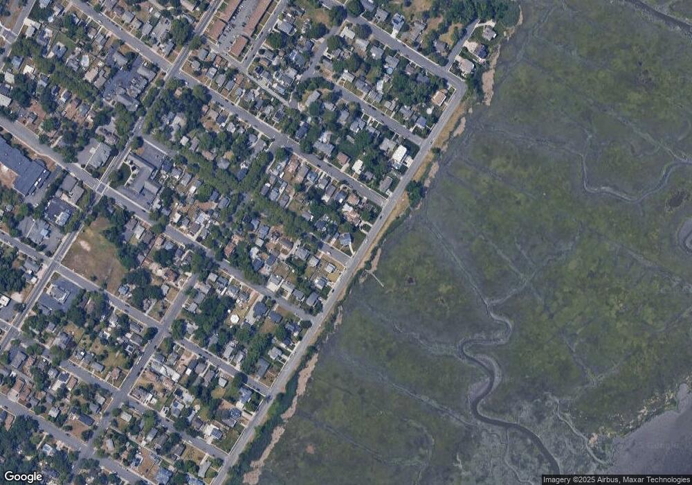
Map
Nearby Homes
- 108 E Meyran Ave
- 29 E Pierson Ave
- 101 E Johnson Ave
- 123 E Cedar Ave
- 109 E Cedar Ave
- 23 W Wilmont Ave
- 25 W Pierson Ave
- 32 W Meyran Ave
- 25 Shore Rd
- 19 E Ocean Heights Ave
- 421 Shore Rd
- 2300 Shore Rd
- 110 E Maryland Ave
- 6 Abbey Rd
- 127 W Cedar Ave
- 137 W Johnson Ave
- 153 W Dawes Ave
- 1020 Pleasant Ave
- 1013 Pleasant Ave
- 1014 Pleasant Ave
Your Personal Tour Guide
Ask me questions while you tour the home.