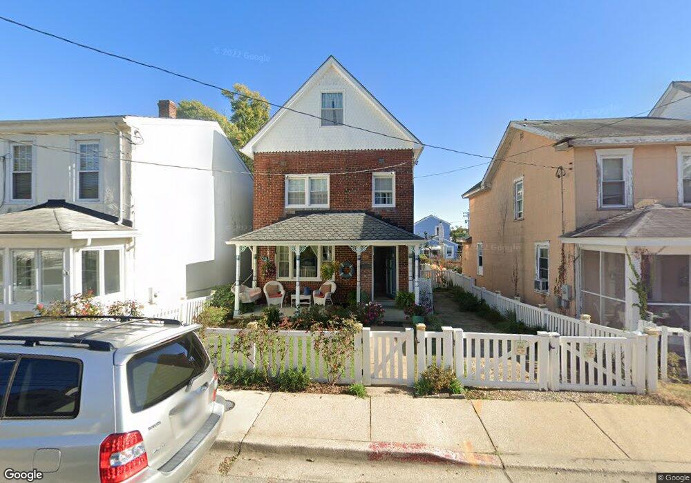
129 Eastern Ave Annapolis, MD 21403
Eastport NeighborhoodEstimated Value: $908,573
Studio
1
Bath
1,900
Sq Ft
$478/Sq Ft
Est. Value
About This Home
This home is located at 129 Eastern Ave, Annapolis, MD 21403 and is currently estimated at $908,573, approximately $478 per square foot. 129 Eastern Ave is a home located in Anne Arundel County with nearby schools including Eastport Elementary School, Annapolis Middle School, and Annapolis High School.
Ownership History
Date
Name
Owned For
Owner Type
Purchase Details
Closed on
Aug 2, 2018
Sold by
Kennedy Debra
Bought by
Mangus James and Kennedy Debra
Current Estimated Value
Purchase Details
Closed on
Jan 11, 2001
Sold by
Gelirli Ahmet
Bought by
Kennedy Debra
Purchase Details
Closed on
Dec 4, 1989
Sold by
Thompson Elmer
Bought by
Koseoglu Erol
Home Financials for this Owner
Home Financials are based on the most recent Mortgage that was taken out on this home.
Original Mortgage
$78,000
Interest Rate
9.74%
Create a Home Valuation Report for This Property
The Home Valuation Report is an in-depth analysis detailing your home's value as well as a comparison with similar homes in the area
Home Values in the Area
Average Home Value in this Area
Purchase History
| Date | Buyer | Sale Price | Title Company |
|---|---|---|---|
| Mangus James | -- | None Available | |
| Kennedy Debra | $298,950 | -- | |
| Koseoglu Erol | $105,000 | -- |
Source: Public Records
Mortgage History
| Date | Status | Borrower | Loan Amount |
|---|---|---|---|
| Previous Owner | Koseoglu Erol | $78,000 |
Source: Public Records
Tax History
| Year | Tax Paid | Tax Assessment Tax Assessment Total Assessment is a certain percentage of the fair market value that is determined by local assessors to be the total taxable value of land and additions on the property. | Land | Improvement |
|---|---|---|---|---|
| 2025 | $11,163 | $850,700 | -- | -- |
| 2024 | $11,163 | $776,800 | -- | -- |
| 2023 | $10,094 | $702,900 | $531,600 | $171,300 |
| 2022 | $9,778 | $693,933 | $0 | $0 |
| 2021 | $9,532 | $684,967 | $0 | $0 |
| 2020 | $9,532 | $676,000 | $514,100 | $161,900 |
| 2019 | $9,344 | $662,233 | $0 | $0 |
| 2018 | $9,020 | $648,467 | $0 | $0 |
| 2017 | $8,283 | $634,700 | $0 | $0 |
| 2016 | -- | $593,867 | $0 | $0 |
| 2015 | -- | $553,033 | $0 | $0 |
| 2014 | -- | $512,200 | $0 | $0 |
Source: Public Records
Map
Nearby Homes
- 120 Chesapeake Ave
- 513 Horn Point Dr
- 200 Chesapeake Ave
- 320 Chester Ave
- 400 Chesapeake Ave Unit 2-101
- 312 Severn Ave
- 312 Severn Ave Unit W-401
- 312 Severn Ave
- 3 Klakring Ct
- 7101 Bay Front Dr Unit 204
- 7101 Bay Front Dr Unit 301
- 301 Burnside St
- 289 State St Unit 4
- 287 State St Unit 2
- 2010 Quay Village Ct Unit 201
- 2010 Quay Village Ct Unit 101
- 7002 Channel Village Ct Unit 101
- 9 Shipwright St
- 7022 Channel Village Ct Unit 101
- 1 Shipwright Harbor
- 127 Eastern Ave
- 131 Eastern Ave
- 125 Eastern Ave
- 123 Eastern Ave
- 135 Eastern Ave
- 133 Eastern Ave
- 124 Bay Shore Ave
- 116 Eastern Ave
- 139 Eastern Ave
- 122 Bay Shore Ave
- 112 Eastern Ave
- 621 Second St
- 105 Eastern Ave
- 108 Eastern Ave
- 619 Second St
- 709 Second St
- 613 Second St
- 133 Bay Shore Ave
- 102 Eastern Ave
- 622 Second St
Your Personal Tour Guide
Ask me questions while you tour the home.