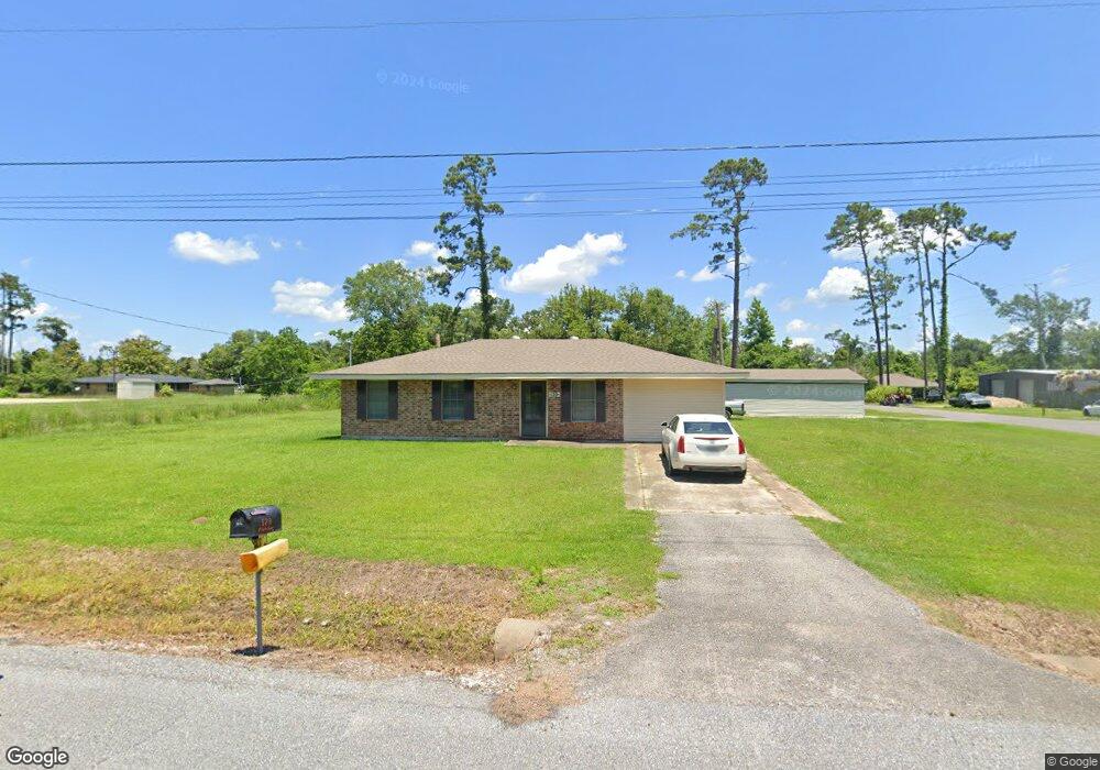
129 Fletcher Rd Westlake, LA 70669
Estimated Value: $145,000 - $189,000
3
Beds
2
Baths
1,390
Sq Ft
$124/Sq Ft
Est. Value
About This Home
This home is located at 129 Fletcher Rd, Westlake, LA 70669 and is currently estimated at $172,346, approximately $123 per square foot. 129 Fletcher Rd is a home located in Calcasieu Parish with nearby schools including Westwood Elementary School, Western Heights Elementary School, and S.P. Arnett Middle School.
Ownership History
Date
Name
Owned For
Owner Type
Purchase Details
Closed on
Feb 12, 2014
Sold by
Wolven Brady Lane
Bought by
Robbins Arthur Lloyd and Robbins Helen Louise
Current Estimated Value
Purchase Details
Closed on
Sep 1, 2011
Sold by
Doyle Dylan Mathew and Boyle Anna Paige
Bought by
Wolven Brady Lane and Wolven Damon
Home Financials for this Owner
Home Financials are based on the most recent Mortgage that was taken out on this home.
Original Mortgage
$122,279
Interest Rate
4.53%
Mortgage Type
New Conventional
Purchase Details
Closed on
Jul 28, 2010
Sold by
Evans Gillard John and Gillard Deborah Kay Love
Bought by
Doyle Dylan Matthew and Doyle Anna Paige
Home Financials for this Owner
Home Financials are based on the most recent Mortgage that was taken out on this home.
Original Mortgage
$114,285
Interest Rate
4.76%
Mortgage Type
New Conventional
Create a Home Valuation Report for This Property
The Home Valuation Report is an in-depth analysis detailing your home's value as well as a comparison with similar homes in the area
Home Values in the Area
Average Home Value in this Area
Purchase History
| Date | Buyer | Sale Price | Title Company |
|---|---|---|---|
| Robbins Arthur Lloyd | $130,000 | First American Title Ins Co | |
| Wolven Brady Lane | $118,000 | None Available | |
| Doyle Dylan Matthew | $112,000 | None Available |
Source: Public Records
Mortgage History
| Date | Status | Borrower | Loan Amount |
|---|---|---|---|
| Previous Owner | Wolven Brady Lane | $122,279 | |
| Previous Owner | Doyle Dylan Matthew | $114,285 |
Source: Public Records
Tax History Compared to Growth
Tax History
| Year | Tax Paid | Tax Assessment Tax Assessment Total Assessment is a certain percentage of the fair market value that is determined by local assessors to be the total taxable value of land and additions on the property. | Land | Improvement |
|---|---|---|---|---|
| 2024 | $423 | $11,440 | $1,940 | $9,500 |
| 2023 | $423 | $11,440 | $1,940 | $9,500 |
| 2022 | $433 | $11,440 | $1,940 | $9,500 |
| 2021 | $422 | $11,440 | $1,940 | $9,500 |
| 2020 | $1,137 | $10,410 | $1,860 | $8,550 |
| 2019 | $1,277 | $11,300 | $1,800 | $9,500 |
| 2018 | $1,182 | $11,300 | $1,800 | $9,500 |
| 2017 | $1,218 | $11,300 | $1,800 | $9,500 |
| 2016 | $1,235 | $11,300 | $1,800 | $9,500 |
| 2015 | $1,235 | $11,300 | $1,800 | $9,500 |
Source: Public Records
Map
Nearby Homes
- 0 Fletcher Rd
- 3124 Davis Rd
- 0 Davis Rd
- 570 Ann Terrace Ave
- 369 Ann Terrace Ave
- 0 Charlotte Ave Unit SWL25001918
- 320 Mcguire Rd
- 141 Cureton Rd
- 0 W Wayside Dr Unit SWL25001592
- 109 W Wayside Dr
- 202 Phillips Rd
- 3425 Davis Rd
- 590 Landry Rd
- 3200 Westwood Rd Unit 99
- 0 Westwood Rd
- 2525 Davis Rd
- 2725 Smith Ferry Rd
- 3322 Westwood Rd
- 2518 Donnelly Rd
- 2526 Cox Rd