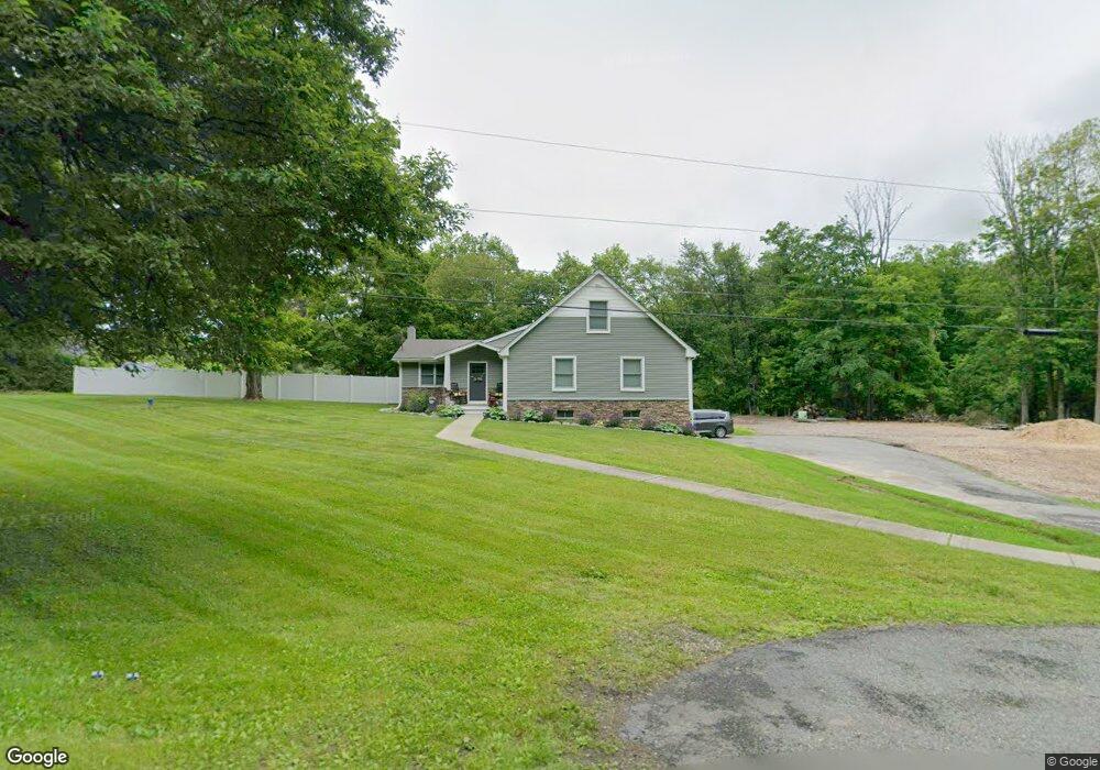
129 Frank Chandler Rd Newton, NJ 07860
Estimated Value: $458,348 - $509,000
--
Bed
--
Bath
1,592
Sq Ft
$311/Sq Ft
Est. Value
About This Home
This home is located at 129 Frank Chandler Rd, Newton, NJ 07860 and is currently estimated at $494,337, approximately $310 per square foot. 129 Frank Chandler Rd is a home located in Sussex County with nearby schools including Marian E. McKeown School and Kittatinny Regional High School.
Ownership History
Date
Name
Owned For
Owner Type
Purchase Details
Closed on
Dec 22, 2020
Sold by
Mitschele Clinton E and Biron Sheryl
Bought by
Davis Sheridan M and Thompson Clay
Current Estimated Value
Home Financials for this Owner
Home Financials are based on the most recent Mortgage that was taken out on this home.
Original Mortgage
$320,150
Interest Rate
2.7%
Mortgage Type
New Conventional
Purchase Details
Closed on
Jul 6, 2020
Sold by
Snook Stephen Michael and Last Will & Testament Of Llawa
Bought by
Mitschele Clinton E and Biron Sheryl
Create a Home Valuation Report for This Property
The Home Valuation Report is an in-depth analysis detailing your home's value as well as a comparison with similar homes in the area
Home Values in the Area
Average Home Value in this Area
Purchase History
| Date | Buyer | Sale Price | Title Company |
|---|---|---|---|
| Davis Sheridan M | $337,000 | Evident Title Agency Inc | |
| Mitschele Clinton E | $185,000 | Evident Title Agency Inc |
Source: Public Records
Mortgage History
| Date | Status | Borrower | Loan Amount |
|---|---|---|---|
| Previous Owner | Davis Sheridan M | $320,150 |
Source: Public Records
Tax History Compared to Growth
Tax History
| Year | Tax Paid | Tax Assessment Tax Assessment Total Assessment is a certain percentage of the fair market value that is determined by local assessors to be the total taxable value of land and additions on the property. | Land | Improvement |
|---|---|---|---|---|
| 2025 | $8,322 | $249,300 | $73,800 | $175,500 |
| 2024 | $7,880 | $249,300 | $73,800 | $175,500 |
| 2023 | $7,880 | $249,300 | $73,800 | $175,500 |
| 2022 | $7,688 | $249,300 | $73,800 | $175,500 |
| 2021 | $6,653 | $222,000 | $73,800 | $148,200 |
| 2020 | $6,629 | $222,000 | $73,800 | $148,200 |
| 2019 | $6,569 | $222,000 | $73,800 | $148,200 |
| 2018 | $6,442 | $222,000 | $73,800 | $148,200 |
| 2017 | $6,311 | $222,000 | $73,800 | $148,200 |
| 2016 | $5,877 | $222,000 | $73,800 | $148,200 |
| 2015 | $5,498 | $222,000 | $73,800 | $148,200 |
| 2014 | $5,431 | $222,000 | $73,800 | $148,200 |
Source: Public Records
Map
Nearby Homes
- 25 County Road 521
- 86 County Road 521
- 1071 County Road 521
- 1055-1057 Rt521
- 1049 County Road 521
- 30 Old Swartswood Rd
- 21 Lake Rd
- 936 Dove Island Rd
- 909 Lotus Terrace
- 1024 County Road 619
- 907 Meadowbrook Rd
- 965 Cedar Dr
- 2 - 4 Garrett Dr
- 8 Possaghi Rd
- 903 Stony Rd
- 20 Anderson Hill Rd
- 903 Cedar Dr
- 4 Grove St
- 90 Kemah Mecca Lake Rd
- 301 Lakewood Terrace
- 131 Frank Chandler Rd
- 130 Frank Chandler Rd
- 126 Frank Chandler Rd
- 123 Frank Chandler Rd
- 133 Frank Chandler Rd
- 3 Chandoga Dr
- 125 Frank Chandler Rd
- 120 Frank Chandler Rd
- 7 Chandoga Dr
- 134 Frank Chandler Rd
- 5 Chanwood Dr
- 11 Chandoga Dr
- 9 Chandoga Dr
- 4 Chandoga Dr
- 7 Chanwood Dr
- 10 Chandoga Dr
- 2 Chanwood Dr
- 12 Chandoga Dr
- 14 Chandoga Dr
- 138 Frank Chandler Rd