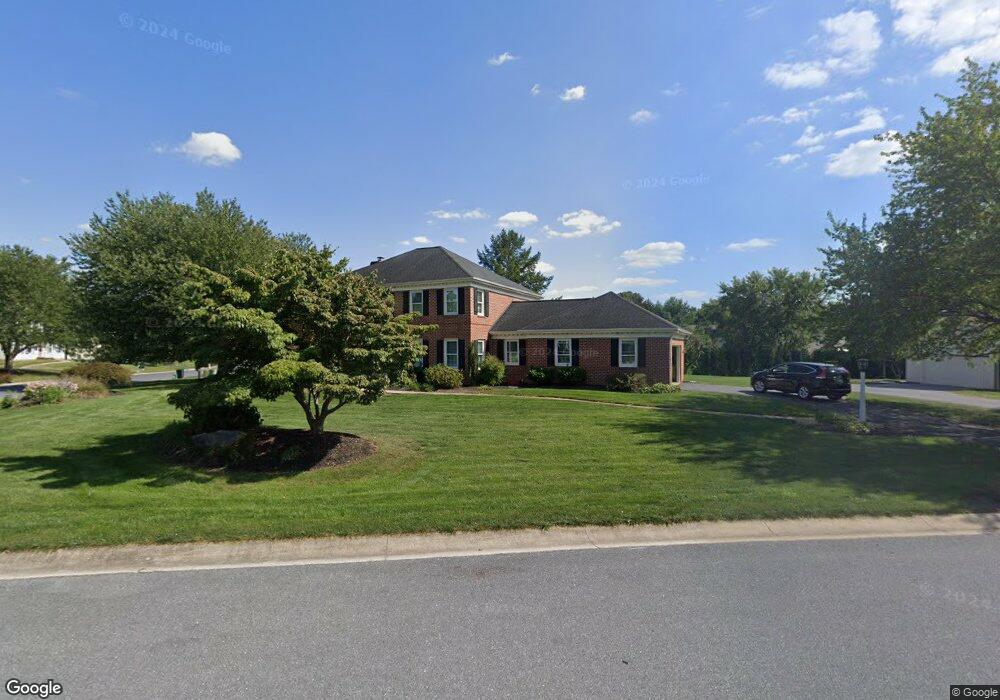
129 Hammersmith Ln Lititz, PA 17543
Kissel Hill NeighborhoodEstimated Value: $640,478 - $727,000
4
Beds
3
Baths
2,592
Sq Ft
$264/Sq Ft
Est. Value
About This Home
This home is located at 129 Hammersmith Ln, Lititz, PA 17543 and is currently estimated at $684,620, approximately $264 per square foot. 129 Hammersmith Ln is a home located in Lancaster County with nearby schools including Reidenbaugh Elementary School, Landis Run Intermediate School, and Manheim Township Middle School.
Ownership History
Date
Name
Owned For
Owner Type
Purchase Details
Closed on
Sep 28, 2001
Sold by
Mudloff Robert J and Mudloff Nancy D
Bought by
Wolf Brian G and Wolf Andrea P
Current Estimated Value
Home Financials for this Owner
Home Financials are based on the most recent Mortgage that was taken out on this home.
Original Mortgage
$140,000
Outstanding Balance
$54,801
Interest Rate
6.89%
Estimated Equity
$629,819
Create a Home Valuation Report for This Property
The Home Valuation Report is an in-depth analysis detailing your home's value as well as a comparison with similar homes in the area
Home Values in the Area
Average Home Value in this Area
Purchase History
| Date | Buyer | Sale Price | Title Company |
|---|---|---|---|
| Wolf Brian G | $243,000 | -- |
Source: Public Records
Mortgage History
| Date | Status | Borrower | Loan Amount |
|---|---|---|---|
| Open | Wolf Brian G | $140,000 |
Source: Public Records
Tax History Compared to Growth
Tax History
| Year | Tax Paid | Tax Assessment Tax Assessment Total Assessment is a certain percentage of the fair market value that is determined by local assessors to be the total taxable value of land and additions on the property. | Land | Improvement |
|---|---|---|---|---|
| 2025 | $7,699 | $355,800 | $84,300 | $271,500 |
| 2024 | $7,699 | $355,800 | $84,300 | $271,500 |
| 2023 | $7,498 | $355,800 | $84,300 | $271,500 |
| 2022 | $7,372 | $355,800 | $84,300 | $271,500 |
| 2021 | $7,207 | $355,800 | $84,300 | $271,500 |
| 2020 | $7,207 | $355,800 | $84,300 | $271,500 |
| 2019 | $7,137 | $355,800 | $84,300 | $271,500 |
| 2018 | $5,269 | $355,800 | $84,300 | $271,500 |
| 2017 | $6,700 | $263,300 | $58,800 | $204,500 |
| 2016 | $6,700 | $263,300 | $58,800 | $204,500 |
| 2015 | $1,684 | $263,300 | $58,800 | $204,500 |
| 2014 | $4,800 | $263,300 | $58,800 | $204,500 |
Source: Public Records
Map
Nearby Homes
- 382 Rumford Rd
- 297 Sarsen Dr
- 315 Sarsen Dr
- 391 Ecker Dr
- 381 Sarsen Dr
- 2717 Kreider Rd
- 494 Stonehenge Dr
- 421 Southampton Dr
- 513 Northampton Dr
- 505 Northampton Dr Unit 2
- 393 Fern Ln Unit 8
- 512 Northampton Dr Unit 43
- 398 Fern Ln Unit 7
- 625 Warminster Ln
- 335 Royal Hunt Way
- 677 Dorset St
- 639 Richmond Dr
- 449 Thatcher Ln
- Winston Plan at Parkside
- Huntington Plan at Parkside
- 285 Buckfield Dr
- 125 Hammersmith Ln
- 280 Buckfield Dr
- 284 Buckfield Dr
- 276 Buckfield Dr
- 368 Koser Rd
- 121 Hammersmith Ln
- 289 Buckfield Dr
- 288 Buckfield Dr
- 374 Koser Rd
- 273 Buckfield Dr
- 38 Bennington Cir
- 3 Old Post Ln
- 292 Buckfield Dr
- 117 Hammersmith Ln
- 378 Rumford Rd
- 386 Rumford Rd
- 34 Bennington Cir
- 348 Koser Rd
- 269 Buckfield Dr