129 Hogan Dr Gainesville, TX 76240
Estimated Value: $804,000 - $1,828,000
4
Beds
3
Baths
2,409
Sq Ft
$568/Sq Ft
Est. Value
About This Home
This home is located at 129 Hogan Dr, Gainesville, TX 76240 and is currently estimated at $1,367,190, approximately $567 per square foot. 129 Hogan Dr is a home located in Cooke County with nearby schools including Callisburg Elementary School, Callisburg Middle School, and Callisburg High School.
Ownership History
Date
Name
Owned For
Owner Type
Purchase Details
Closed on
Jul 2, 2018
Sold by
Phillips Robert Eugene and The Robert E Phillips Living T
Bought by
Daniels Jonathan and Daniels Robyn
Current Estimated Value
Purchase Details
Closed on
Jan 9, 2015
Sold by
Phillips Jane H
Bought by
Phillips Robert E
Purchase Details
Closed on
Oct 11, 2007
Sold by
Hormann Thomas and Hormann Nancy
Bought by
Phillips Robert E and Phillips Jane H
Create a Home Valuation Report for This Property
The Home Valuation Report is an in-depth analysis detailing your home's value as well as a comparison with similar homes in the area
Home Values in the Area
Average Home Value in this Area
Purchase History
| Date | Buyer | Sale Price | Title Company |
|---|---|---|---|
| Daniels Jonathan | -- | Chicago Title | |
| Phillips Robert E | -- | None Available | |
| Phillips Robert E | -- | -- |
Source: Public Records
Tax History Compared to Growth
Tax History
| Year | Tax Paid | Tax Assessment Tax Assessment Total Assessment is a certain percentage of the fair market value that is determined by local assessors to be the total taxable value of land and additions on the property. | Land | Improvement |
|---|---|---|---|---|
| 2025 | $19,819 | $1,550,815 | $816,306 | $734,509 |
| 2024 | $19,819 | $1,569,076 | $834,567 | $734,509 |
| 2023 | $16,749 | $1,311,877 | $451,688 | $860,189 |
| 2022 | $16,969 | $1,143,994 | $418,097 | $725,897 |
| 2021 | $15,279 | $835,505 | $325,266 | $510,239 |
| 2020 | $16,317 | $837,250 | $298,029 | $539,221 |
| 2019 | $10,928 | $560,935 | $263,303 | $297,632 |
| 2018 | $9,002 | $459,522 | $246,678 | $212,844 |
| 2017 | $8,544 | $432,134 | $228,336 | $203,798 |
| 2015 | -- | $419,228 | $228,336 | $190,892 |
| 2014 | -- | $417,402 | $228,336 | $189,066 |
Source: Public Records
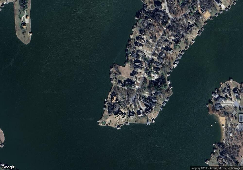
Map
Nearby Homes
- Lot 2 Apache Cove
- Lot 3 Apache Cove
- Lot 7 Apache Cove
- Lot 6 Apache Cove
- Lot 1 Apache Cove
- Lot 8 Apache Cove
- Lot 4 Apache Cove
- Lot 5 Apache Cove
- 116 Seminole Dr
- 104 Pontiac Dr
- 114 Seminole Dr
- 203 Kiowa Dr W
- 100 Kiowa Dr S
- 501 Kiowa Dr E
- 102 Bowie Cove
- 736 Kiowa Dr W
- 100 Huron Trail
- 101 Kiowa Dr S
- 102 Huron Trail
- 734 Kiowa Dr W