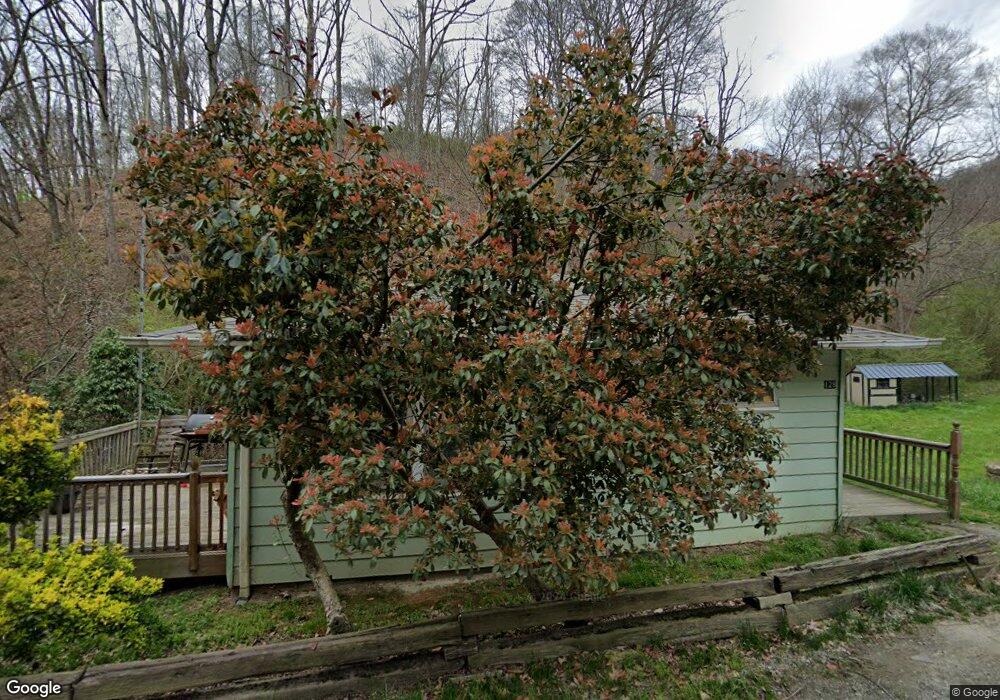
129 Holder Branch Rd Canton, NC 28716
Estimated Value: $197,300 - $271,000
2
Beds
1
Bath
768
Sq Ft
$318/Sq Ft
Est. Value
About This Home
This home is located at 129 Holder Branch Rd, Canton, NC 28716 and is currently estimated at $244,075, approximately $317 per square foot. 129 Holder Branch Rd is a home located in Haywood County with nearby schools including Meadowbrook Elementary School, Canton Middle, and Pisgah High School.
Ownership History
Date
Name
Owned For
Owner Type
Purchase Details
Closed on
Nov 22, 2019
Sold by
Mease Terry K and Mease Marsha B
Bought by
Connor Stephen R and Connor Robin W
Current Estimated Value
Home Financials for this Owner
Home Financials are based on the most recent Mortgage that was taken out on this home.
Original Mortgage
$48,000
Outstanding Balance
$1,474
Interest Rate
3.5%
Mortgage Type
Stand Alone Second
Estimated Equity
$242,601
Create a Home Valuation Report for This Property
The Home Valuation Report is an in-depth analysis detailing your home's value as well as a comparison with similar homes in the area
Home Values in the Area
Average Home Value in this Area
Purchase History
| Date | Buyer | Sale Price | Title Company |
|---|---|---|---|
| Connor Stephen R | $88,000 | None Available |
Source: Public Records
Mortgage History
| Date | Status | Borrower | Loan Amount |
|---|---|---|---|
| Open | Connor Stephen R | $48,000 |
Source: Public Records
Tax History
| Year | Tax Paid | Tax Assessment Tax Assessment Total Assessment is a certain percentage of the fair market value that is determined by local assessors to be the total taxable value of land and additions on the property. | Land | Improvement |
|---|---|---|---|---|
| 2025 | -- | $88,600 | $20,100 | $68,500 |
| 2024 | $7 | $88,600 | $20,100 | $68,500 |
| 2023 | $735 | $88,600 | $20,100 | $68,500 |
| 2022 | $722 | $88,600 | $20,100 | $68,500 |
| 2021 | $722 | $88,600 | $20,100 | $68,500 |
| 2020 | $535 | $54,900 | $18,100 | $36,800 |
| 2019 | $540 | $54,900 | $18,100 | $36,800 |
| 2018 | $540 | $54,900 | $18,100 | $36,800 |
| 2017 | $540 | $54,900 | $0 | $0 |
| 2016 | $536 | $55,900 | $0 | $0 |
| 2015 | $536 | $55,900 | $0 | $0 |
| 2014 | $395 | $55,900 | $0 | $0 |
Source: Public Records
Map
Nearby Homes
- 695 Chestnut Mountain Rd
- 1261 Asheville Hwy
- 00 High Rock View Dr
- 999 High Rock View Dr Unit 36
- 000 High Rock View Dr Unit 32
- 303 Johnson Farm Rd
- 9999 Blue Ridge View Dr
- 145 Keener Rd
- 1505 Summit View Dr Unit 20
- 4 Summit View Dr Unit 4
- 1505 Summit View Dr
- 99999 Summit View Dr Unit 6
- 13 Eastwood Dr
- 9999 Lovebird Ln Unit 20,19,17,23
- 00 Summit View Dr
- 9999-28 Lovebird Ln Unit 28
- 9999-29 Lovebird Ln Unit 29
- 000 Biltmore View Dr Unit 10
- 99999 Biltmore View Dr Unit 11
- 1397 Dutch Cove Rd
- 1657 Asheville Hwy
- 81 Groundhog Rd
- 131 Grounghog Rd
- 662 Holder Branch Rd
- 1918 Asheville Hwy
- Lot 14 Scout Trail
- Lot 14 Scout Trail Unit 14
- Lot 16 Scout Trail
- Lot 16 Scout Trail Unit 16
- 35 Scott Dr
- Lot 15 Scout Trail
- Lot 15 Scout Trail Unit 15
- 51 Scott Dr
- 45 Happy Hollow Dr
- 333 Groundhog Rd
- 32 Happy Hollow Dr
- 341 Groundhog Rd
- 1292 Asheville Hwy
- 1969 Asheville Hwy
- 1015 Holder Branch Rd
Your Personal Tour Guide
Ask me questions while you tour the home.