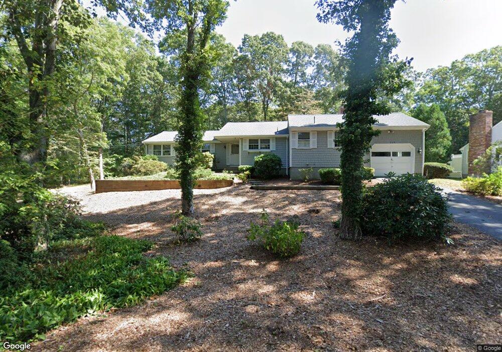
129 Holly Point Rd Centerville, MA 02632
Centerville NeighborhoodEstimated Value: $672,415 - $863,000
3
Beds
3
Baths
1,550
Sq Ft
$519/Sq Ft
Est. Value
About This Home
This home is located at 129 Holly Point Rd, Centerville, MA 02632 and is currently estimated at $805,104, approximately $519 per square foot. 129 Holly Point Rd is a home located in Barnstable County with nearby schools including Centerville Elementary School, Barnstable United Elementary School, and Barnstable Intermediate School.
Ownership History
Date
Name
Owned For
Owner Type
Purchase Details
Closed on
Jun 7, 2016
Sold by
Furman Temma
Bought by
Silverman Miriam B
Current Estimated Value
Purchase Details
Closed on
Sep 29, 1995
Sold by
Jasper Marilyn and Lederman Dora E
Bought by
Furman Benjamin
Create a Home Valuation Report for This Property
The Home Valuation Report is an in-depth analysis detailing your home's value as well as a comparison with similar homes in the area
Home Values in the Area
Average Home Value in this Area
Purchase History
| Date | Buyer | Sale Price | Title Company |
|---|---|---|---|
| Silverman Miriam B | -- | -- | |
| Furman Temma | -- | -- | |
| Furman Benjamin | $147,000 | -- |
Source: Public Records
Mortgage History
| Date | Status | Borrower | Loan Amount |
|---|---|---|---|
| Previous Owner | Furman Benjamin | $140,000 |
Source: Public Records
Tax History
| Year | Tax Paid | Tax Assessment Tax Assessment Total Assessment is a certain percentage of the fair market value that is determined by local assessors to be the total taxable value of land and additions on the property. | Land | Improvement |
|---|---|---|---|---|
| 2025 | $4,829 | $596,900 | $213,100 | $383,800 |
| 2024 | $4,599 | $588,900 | $213,100 | $375,800 |
| 2023 | $4,323 | $518,400 | $193,800 | $324,600 |
| 2022 | $4,032 | $418,300 | $133,300 | $285,000 |
| 2021 | $3,897 | $371,500 | $135,300 | $236,200 |
| 2020 | $3,968 | $362,000 | $135,300 | $226,700 |
| 2019 | $3,874 | $343,400 | $143,500 | $199,900 |
| 2018 | $3,841 | $342,300 | $167,300 | $175,000 |
| 2017 | $3,597 | $334,300 | $167,300 | $167,000 |
| 2016 | $3,658 | $335,600 | $168,600 | $167,000 |
| 2015 | $3,561 | $328,200 | $163,300 | $164,900 |
Source: Public Records
Map
Nearby Homes
- 357 Lakeside Dr W
- 481 Lakeside Dr W
- 5 Chickadee Ln
- 140 Wequaquet Ln
- 210 Attucks Ln
- 230 Attucks Ln
- 10 Sail -A-way
- 10 Sail a Way
- 21 Brian Ln
- 83 Lake Dr
- 522 Lincoln Road Extension
- 423 Lincoln Road Extension
- 66 Tern Ln
- 800 Bearses Way Unit 2SB
- 800 Bearses Way Unit 3NF
- 800 Bearses Way Unit 5NB
- 800 Bearses Way Unit 5NB
- 1029 Iyannough Rd Unit B BLDG 8
- 82 Yacht Club Rd
- 576 Strawberry Hill Rd
- 19 Lakeview Ave
- 139 Holly Point Rd
- 115 Holly Point Rd
- 136 Lakeside Dr E
- 130 Holly Point Rd
- 120 Holly Point Rd
- 29 Lakeview Ave
- 152 Lakeside Dr E
- 126 Lakeside Dr E
- 20 Lakeview Ave
- 140 Holly Point Rd
- 108 Holly Point Rd
- 150 Holly Point Rd
- 99 Holly Point Rd
- 114 Lakeside Dr E
- 30 Lakeview Ave
- 39 Lakeview Ave
- 175 Lakeside Dr E
- 165 Lakeside Dr E
- 168 Holly Point Rd
Your Personal Tour Guide
Ask me questions while you tour the home.