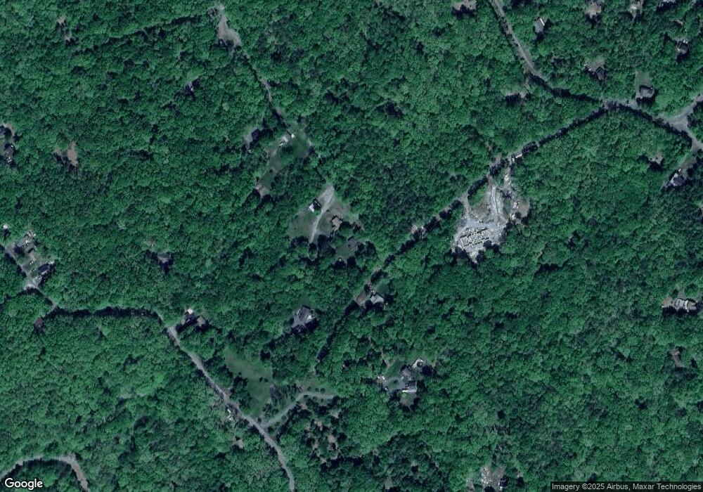
129 Homestead Ln East Stroudsburg, PA 18302
Estimated Value: $114,000 - $231,000
3
Beds
1
Bath
1,200
Sq Ft
$150/Sq Ft
Est. Value
About This Home
This home is located at 129 Homestead Ln, East Stroudsburg, PA 18302 and is currently estimated at $179,468, approximately $149 per square foot. 129 Homestead Ln is a home with nearby schools including Middle Smithfield Elementary School and Lehman Intermediate School.
Ownership History
Date
Name
Owned For
Owner Type
Purchase Details
Closed on
Mar 24, 2023
Sold by
Garris Jessica
Bought by
Homestead Land Llc
Current Estimated Value
Purchase Details
Closed on
Dec 19, 2022
Sold by
Garris Jessica
Bought by
Garris Jessica
Purchase Details
Closed on
May 18, 2015
Sold by
Garris Betty Jean
Bought by
Garris Betty Jean and Garris Richard P
Purchase Details
Closed on
Nov 23, 1957
Bought by
Garris Charles I and Garris Betty
Create a Home Valuation Report for This Property
The Home Valuation Report is an in-depth analysis detailing your home's value as well as a comparison with similar homes in the area
Home Values in the Area
Average Home Value in this Area
Purchase History
| Date | Buyer | Sale Price | Title Company |
|---|---|---|---|
| Homestead Land Llc | $85,000 | Gateway Abstract | |
| Garris Jessica | -- | -- | |
| Garris Betty Jean | -- | None Available | |
| Garris Charles I | -- | -- |
Source: Public Records
Tax History Compared to Growth
Tax History
| Year | Tax Paid | Tax Assessment Tax Assessment Total Assessment is a certain percentage of the fair market value that is determined by local assessors to be the total taxable value of land and additions on the property. | Land | Improvement |
|---|---|---|---|---|
| 2025 | $670 | $82,280 | $14,880 | $67,400 |
| 2024 | $561 | $82,280 | $14,880 | $67,400 |
| 2023 | $2,957 | $82,280 | $14,880 | $67,400 |
| 2022 | $2,996 | $82,280 | $14,880 | $67,400 |
| 2021 | $2,951 | $82,280 | $14,880 | $67,400 |
| 2020 | $2,554 | $82,280 | $14,880 | $67,400 |
| 2019 | $3,074 | $14,660 | $2,700 | $11,960 |
| 2018 | $3,074 | $14,660 | $2,700 | $11,960 |
| 2017 | $3,074 | $14,660 | $2,700 | $11,960 |
| 2016 | $2,648 | $14,660 | $2,700 | $11,960 |
| 2015 | -- | $14,660 | $2,700 | $11,960 |
| 2014 | -- | $14,660 | $2,700 | $11,960 |
Source: Public Records
Map
Nearby Homes
- Lot 24 Clubhouse Dr 24 Dr
- 619 Clubhouse Dr
- 86 Norman Dr
- 108 Polaris Ct
- 16 Norman Dr
- 3515 Acorn Cir
- 108 Peace Falls Rd
- 4138 Overlook Ct
- 96 Rim Rd
- 754 Clubhouse Dr
- 205 Falling View Ct
- 0 Stony Hollow Cir Unit 746531
- 543 Clubhouse Dr
- 0 Tamaqua Rd
- 336 Clubhouse Dr
- 553 Sioux Dr
- 1060 Lenape Rd
- 0 Mohican Road 199
- 850 Seneca Rd
- 114 Carol Rd
- 136 Gold Ln
- 116 Homestead Ln
- 120 Gold Ln
- 660 Clubhouse Dr
- 14 Clubhouse Dr
- 152 Clubhouse Dr
- 16 Clubhouse Dr
- 142 Valley Island View Dr
- 65 Norman Dr
- 629 Clubhouse Dr
- 75 Norman Dr
- 118 Valley Island View Dr
- 48 Clubhouse Dr
- 83 Norman Dr
- 669 Clubhouse Dr
- 260 Norman Dr
- 280 Norman Dr
- 615 Clubhouse Dr
- 55 Norman Dr
- 2 Norman Dr
