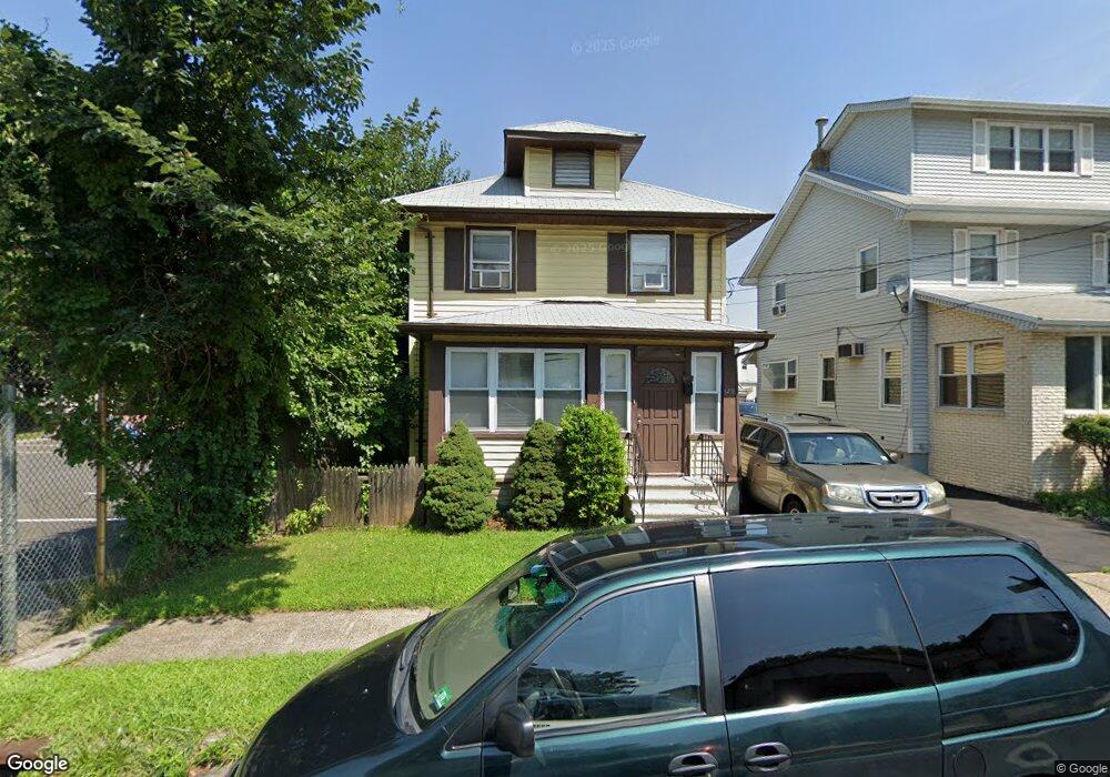
129 James St Hillside, NJ 07205
Westminster NeighborhoodEstimated Value: $407,000 - $498,000
Studio
--
Bath
1,116
Sq Ft
$394/Sq Ft
Est. Value
About This Home
This home is located at 129 James St, Hillside, NJ 07205 and is currently estimated at $440,065, approximately $394 per square foot. 129 James St is a home located in Union County with nearby schools including Abram P. Morris-Saybrook Elementary School, Hurden Looker School, and Ola Edwards Community School.
Ownership History
Date
Name
Owned For
Owner Type
Purchase Details
Closed on
Oct 19, 2009
Sold by
Marques Roger and Marques Rogerio
Bought by
Neal Sonia
Current Estimated Value
Home Financials for this Owner
Home Financials are based on the most recent Mortgage that was taken out on this home.
Original Mortgage
$181,649
Outstanding Balance
$118,675
Interest Rate
5.09%
Mortgage Type
FHA
Estimated Equity
$321,390
Purchase Details
Closed on
Apr 30, 2009
Sold by
Sousa Ismenia and Marques Ismenia
Bought by
Marques Roger
Create a Home Valuation Report for This Property
The Home Valuation Report is an in-depth analysis detailing your home's value as well as a comparison with similar homes in the area
Home Values in the Area
Average Home Value in this Area
Purchase History
| Date | Buyer | Sale Price | Title Company |
|---|---|---|---|
| Neal Sonia | $185,000 | None Available | |
| Marques Roger | -- | None Available |
Source: Public Records
Mortgage History
| Date | Status | Borrower | Loan Amount |
|---|---|---|---|
| Open | Neal Sonia | $181,649 |
Source: Public Records
Tax History
| Year | Tax Paid | Tax Assessment Tax Assessment Total Assessment is a certain percentage of the fair market value that is determined by local assessors to be the total taxable value of land and additions on the property. | Land | Improvement |
|---|---|---|---|---|
| 2025 | $7,329 | $88,800 | $51,000 | $37,800 |
| 2024 | $7,116 | $88,800 | $51,000 | $37,800 |
| 2023 | $7,116 | $88,800 | $51,000 | $37,800 |
| 2022 | $7,050 | $88,800 | $51,000 | $37,800 |
| 2021 | $7,004 | $88,800 | $51,000 | $37,800 |
| 2020 | $6,963 | $88,800 | $51,000 | $37,800 |
| 2019 | $6,828 | $88,800 | $51,000 | $37,800 |
| 2018 | $6,759 | $88,800 | $51,000 | $37,800 |
| 2017 | $6,719 | $88,800 | $51,000 | $37,800 |
| 2016 | $6,711 | $88,800 | $51,000 | $37,800 |
| 2015 | $6,651 | $88,800 | $51,000 | $37,800 |
| 2014 | $6,546 | $88,800 | $51,000 | $37,800 |
Source: Public Records
Map
Nearby Homes
- 1204 Salem Ave
- 1141 Church St
- 1250 N Broad St Unit A1
- 39 Hollywood Ave
- 124 Woodruff Place
- 376 Hollywood Ave
- 253 Conant St
- 128 Baltimore Ave
- 75 Hillside Ave
- 420 Hollywood Ave
- 149 Baltimore Ave
- 1408 Lexington Place Unit 1410
- 1444 N Broad St
- 1379 Garfield Place
- 1406 Maple Ave
- 1128 Saint Louis Ave Unit 2
- 1473 Center St
- 1414 Boa Place Unit 2
- 1437 Parkview Terrace
- 222 Boston Ave
- 125 James St
- 123 James St
- 121 James St
- 120 Frances Place
- 122 Frances Place
- 128 James St
- 118 Frances Place
- 124 Frances Place
- 122 James St
- 116 Frances Place
- 117 James St
- 126 Frances Place
- 114 Frances Place
- 128 Frances Place
- 115 James St
- 1218 Howard St
- 112 Frances Place
- 1216 Howard St
- 1216 Howard St Unit 1
- 130 Frances Place