129 Jameson Cir Union Grove, AL 35175
Estimated Value: $164,000 - $293,000
3
Beds
2
Baths
1,014
Sq Ft
$239/Sq Ft
Est. Value
About This Home
This home is located at 129 Jameson Cir, Union Grove, AL 35175 and is currently estimated at $242,234, approximately $238 per square foot. 129 Jameson Cir is a home located in Marshall County with nearby schools including Brindlee Mountain Primary School, Brindlee Mountain Elementary School, and Brindlee Mt Middle School.
Ownership History
Date
Name
Owned For
Owner Type
Purchase Details
Closed on
Apr 13, 2012
Sold by
Nordstrom Joshua S and Nordstrom Tesia
Bought by
Farrell Josiah Wade and Parsons Jennifer Maegan
Current Estimated Value
Home Financials for this Owner
Home Financials are based on the most recent Mortgage that was taken out on this home.
Original Mortgage
$74,200
Outstanding Balance
$10,064
Interest Rate
3.96%
Mortgage Type
New Conventional
Estimated Equity
$232,170
Purchase Details
Closed on
Feb 26, 2009
Sold by
Henderson K Darlene and Smith Darlene
Bought by
Nordstrom Joshua S and Nordstrom Tesia
Home Financials for this Owner
Home Financials are based on the most recent Mortgage that was taken out on this home.
Original Mortgage
$67,900
Interest Rate
5.14%
Mortgage Type
New Conventional
Create a Home Valuation Report for This Property
The Home Valuation Report is an in-depth analysis detailing your home's value as well as a comparison with similar homes in the area
Home Values in the Area
Average Home Value in this Area
Purchase History
| Date | Buyer | Sale Price | Title Company |
|---|---|---|---|
| Farrell Josiah Wade | -- | None Available | |
| Nordstrom Joshua S | -- | None Available |
Source: Public Records
Mortgage History
| Date | Status | Borrower | Loan Amount |
|---|---|---|---|
| Open | Farrell Josiah Wade | $74,200 | |
| Previous Owner | Nordstrom Joshua S | $67,900 |
Source: Public Records
Tax History Compared to Growth
Tax History
| Year | Tax Paid | Tax Assessment Tax Assessment Total Assessment is a certain percentage of the fair market value that is determined by local assessors to be the total taxable value of land and additions on the property. | Land | Improvement |
|---|---|---|---|---|
| 2024 | $779 | $22,180 | $0 | $0 |
| 2023 | $779 | $20,980 | $0 | $0 |
| 2022 | $708 | $20,300 | $0 | $0 |
| 2021 | $314 | $9,780 | $0 | $0 |
| 2020 | $277 | $8,800 | $0 | $0 |
| 2017 | $230 | $8,000 | $0 | $0 |
| 2015 | -- | $6,860 | $0 | $0 |
| 2014 | -- | $6,860 | $0 | $0 |
Source: Public Records
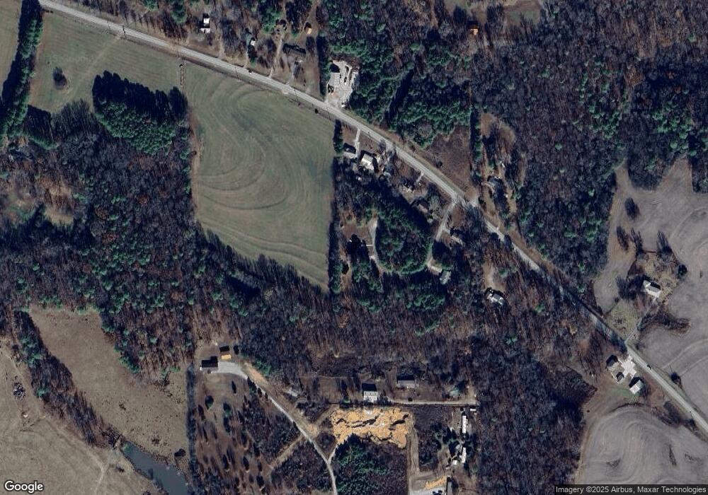
Map
Nearby Homes
- 588 Mount Olive Church Rd
- 10470 Union Grove Rd
- 1041 Greenbriar Cove Rd
- 14298 Highway 231
- 463 Hickory Cir
- 402 Greenbriar Cove Rd
- 141 Old Silo Rd
- 256 Greenbriar Cove Rd
- 3903 Highway 231
- 18 Parker Rd
- Lot 106 & 107 Creekwood Dr
- 35 ACRES Pine Ridge Rd
- 128 Savannah Cir
- 865 Quarry Rd
- Lot 43 Savannah Cir
- 295 N Ridge Dr
- 1 Bettinger Mountain Rd
- 8324 Union Grove Rd
- 1812 Pine Ridge Rd
- 86 Oak Ridge Way
- 11121 Union Grove Rd
- 11111 Union Grove Rd
- 11101 Union Grove Rd
- 97 Jameson Cir
- 11141 Union Grove Rd
- 11159 Union Grove Rd
- 639 Mount Olive Church Rd
- 11081 Union Grove Rd
- 10991 Union Grove Rd
- 28 King Dr
- 631 Mount Olive Church Rd
- 515 Mount Olive Church Rd
- 11246 Union Grove Rd
- 0 King Rd
- 633 Mount Olive Church Rd
- 10867 Union Grove Rd
- 1320 Union Grove Rd
- 11260 Union Grove Rd
- 10874 Union Grove Rd
- 483 Mount Olive Church Rd