129 Katy Ranch Dr Weatherford, TX 76085
Estimated Value: $573,000 - $775,000
4
Beds
3
Baths
2,350
Sq Ft
$274/Sq Ft
Est. Value
About This Home
This home is located at 129 Katy Ranch Dr, Weatherford, TX 76085 and is currently estimated at $642,725, approximately $273 per square foot. 129 Katy Ranch Dr is a home located in Parker County with nearby schools including Crockett Elementary School, Tison Middle School, and Weatherford High School.
Ownership History
Date
Name
Owned For
Owner Type
Purchase Details
Closed on
Sep 20, 2019
Sold by
Noc One Incorporated
Bought by
Coupland Melissa and Coupland Kevin
Current Estimated Value
Home Financials for this Owner
Home Financials are based on the most recent Mortgage that was taken out on this home.
Original Mortgage
$310,000
Outstanding Balance
$271,536
Interest Rate
3.6%
Mortgage Type
New Conventional
Estimated Equity
$371,189
Purchase Details
Closed on
Jan 18, 2019
Sold by
Coiner Properties Llc
Bought by
Noc One Inc
Home Financials for this Owner
Home Financials are based on the most recent Mortgage that was taken out on this home.
Original Mortgage
$259,200
Interest Rate
4.7%
Mortgage Type
Construction
Create a Home Valuation Report for This Property
The Home Valuation Report is an in-depth analysis detailing your home's value as well as a comparison with similar homes in the area
Home Values in the Area
Average Home Value in this Area
Purchase History
| Date | Buyer | Sale Price | Title Company |
|---|---|---|---|
| Coupland Melissa | -- | Providence Title Company | |
| Noc One Inc | -- | Providence Title Company |
Source: Public Records
Mortgage History
| Date | Status | Borrower | Loan Amount |
|---|---|---|---|
| Open | Coupland Melissa | $310,000 | |
| Previous Owner | Noc One Inc | $259,200 |
Source: Public Records
Tax History Compared to Growth
Tax History
| Year | Tax Paid | Tax Assessment Tax Assessment Total Assessment is a certain percentage of the fair market value that is determined by local assessors to be the total taxable value of land and additions on the property. | Land | Improvement |
|---|---|---|---|---|
| 2025 | $7,656 | $571,168 | -- | -- |
| 2024 | $7,656 | $519,244 | -- | -- |
| 2023 | $7,656 | $472,040 | $0 | $0 |
| 2022 | $7,856 | $421,970 | $65,700 | $356,270 |
| 2021 | $8,499 | $421,970 | $65,700 | $356,270 |
| 2020 | $7,874 | $388,210 | $65,700 | $322,510 |
| 2019 | $1,052 | $48,620 | $48,620 | $0 |
Source: Public Records
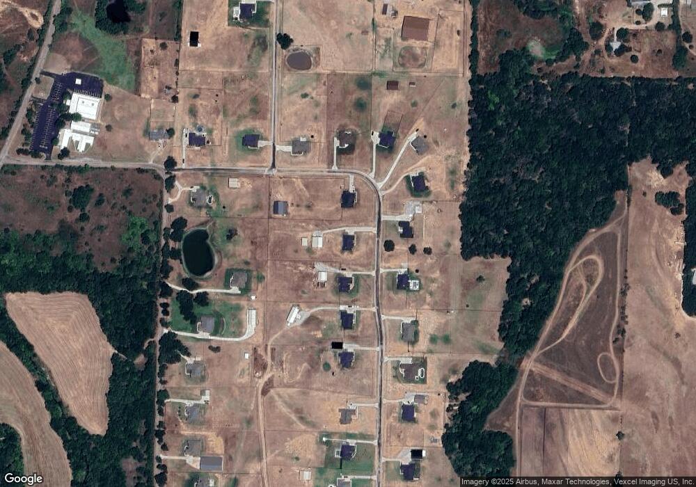
Map
Nearby Homes
- 152 Katy Ranch Dr
- 1357 Friendship Rd
- 505 Aermotor Loop
- 181 Fan Mill Trail
- 197 Fan Mill Trail
- 1000 Rays Way
- 1009 Sabrina Ct
- 470 Wildwood Trail
- 2000 Collin St
- 2065 Preserve Trail
- 4895 Upper Denton Rd
- 5885-A Old Springtown Rd
- 5885-B Old Springtown Rd
- 5885-C Old Springtown Rd
- 5885-E Old Springtown Rd
- 5885-D Old Springtown Rd
- 106 Hedges Cir
- 134 Hedges Cir
- 209 Timber Valley Ct
- 5350 Upper Denton Rd
- 129 Katy Ranch Dr
- 125 Katy Ranch Dr
- 131 Katy Ranch Dr
- TBD 2F Katy Ranch Dr
- 121 Katy Ranch Dr
- 128 Katy Ranch Dr
- 909 Friendship Rd
- 144 Katy Ranch Dr
- 148 Katy Ranch Dr
- 117 Katy Ranch Dr
- TBD 4D Katy Ranch Dr
- 132 Katy Ranch Dr
- 124 Katy Ranch Dr
- TBD 1D Katy Ranch Dr
- 901 Friendship Rd
- 140 Katy Ranch Dr
- 140 Katy Ranch Dr
- 915 Friendship Rd
- 120 Katy Ranch Dr
- 136 Katy Ranch Dr