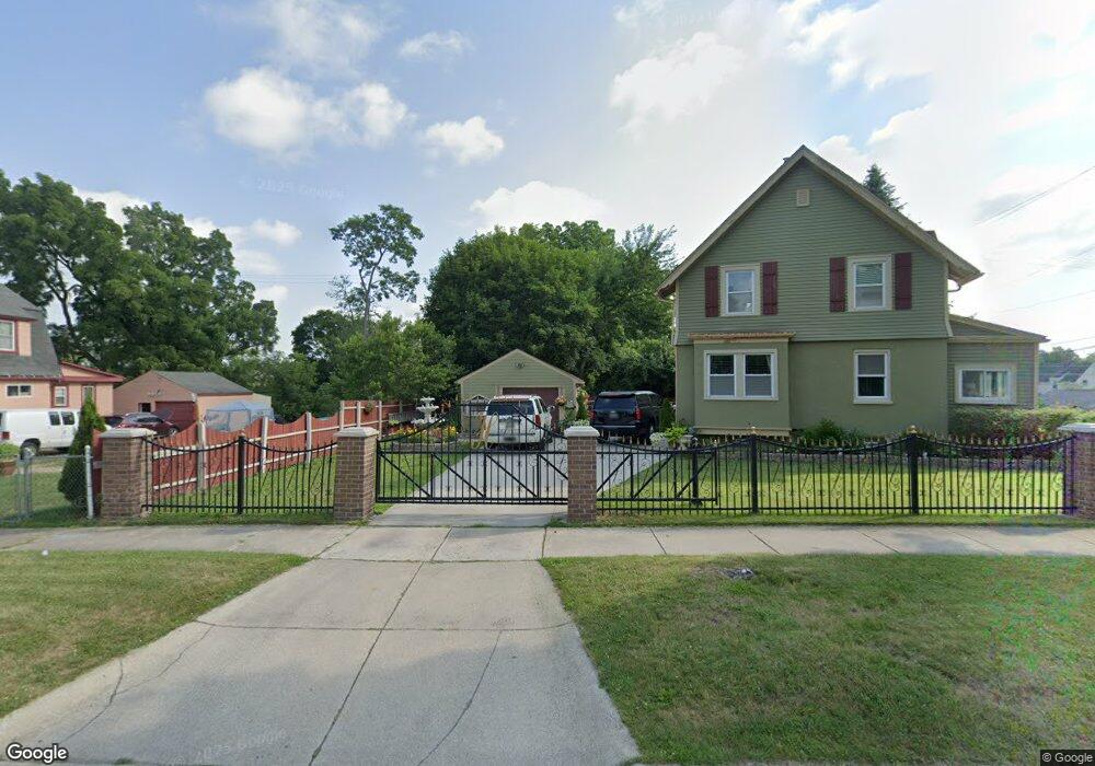
129 Kemp St Pontiac, MI 48342
Estimated Value: $97,000 - $159,000
--
Bed
1
Bath
--
Sq Ft
5,619
Sq Ft Lot
About This Home
This home is located at 129 Kemp St, Pontiac, MI 48342 and is currently estimated at $134,368. 129 Kemp St is a home located in Oakland County with nearby schools including Owen Elementary School, Pontiac Middle School, and Pontiac High School.
Ownership History
Date
Name
Owned For
Owner Type
Purchase Details
Closed on
Mar 6, 2014
Sold by
Treasurer Of Oakland County
Bought by
Martinez Marcelino and Santiago Alex J
Current Estimated Value
Purchase Details
Closed on
Mar 30, 2004
Sold by
Farrell Dean E
Bought by
Smart Diane
Home Financials for this Owner
Home Financials are based on the most recent Mortgage that was taken out on this home.
Original Mortgage
$72,000
Interest Rate
7.15%
Mortgage Type
Purchase Money Mortgage
Purchase Details
Closed on
Feb 10, 2003
Sold by
Peachtree Properties Llc
Bought by
Farrell Dean E
Purchase Details
Closed on
Sep 24, 1997
Sold by
Ogemaw Hills Est Inc
Bought by
Menorath Bouaphanh
Create a Home Valuation Report for This Property
The Home Valuation Report is an in-depth analysis detailing your home's value as well as a comparison with similar homes in the area
Home Values in the Area
Average Home Value in this Area
Purchase History
| Date | Buyer | Sale Price | Title Company |
|---|---|---|---|
| Martinez Marcelino | $150 | Oct | |
| Smart Diane | $80,000 | -- | |
| Farrell Dean E | $75,000 | Metropolitan Title Company | |
| Menorath Bouaphanh | $38,000 | -- |
Source: Public Records
Mortgage History
| Date | Status | Borrower | Loan Amount |
|---|---|---|---|
| Previous Owner | Smart Diane | $72,000 |
Source: Public Records
Tax History Compared to Growth
Tax History
| Year | Tax Paid | Tax Assessment Tax Assessment Total Assessment is a certain percentage of the fair market value that is determined by local assessors to be the total taxable value of land and additions on the property. | Land | Improvement |
|---|---|---|---|---|
| 2024 | $87 | $2,380 | $0 | $0 |
| 2023 | $83 | $2,160 | $0 | $0 |
| 2022 | $81 | $1,960 | $0 | $0 |
| 2021 | $79 | $1,530 | $0 | $0 |
| 2020 | $77 | $1,400 | $0 | $0 |
| 2019 | $80 | $1,400 | $0 | $0 |
| 2018 | $80 | $1,400 | $0 | $0 |
| 2017 | $78 | $1,400 | $0 | $0 |
| 2016 | $86 | $1,550 | $0 | $0 |
| 2015 | -- | $1,550 | $0 | $0 |
| 2014 | -- | $0 | $0 | $0 |
| 2011 | -- | $15,130 | $0 | $0 |
Source: Public Records
Map
Nearby Homes
- 124 Kemp St
- 217 Edison St
- 52 Whitfield St
- 431 Perry St
- 421 N Paddock St
- 25 Elwood St
- 388 N Perry St
- 37 Poplar Ave
- 352 N Perry St
- 100 Oliver St
- 633 N Perry St
- 73 Poplar Ave
- 141 Oliver St
- 669 N Perry St
- 80 Oakhill St
- 111 Hamilton St
- 130 Baldwin Ave
- 123 Adelaide St
- 36 Clairmont Place
- 11 Lexington Place