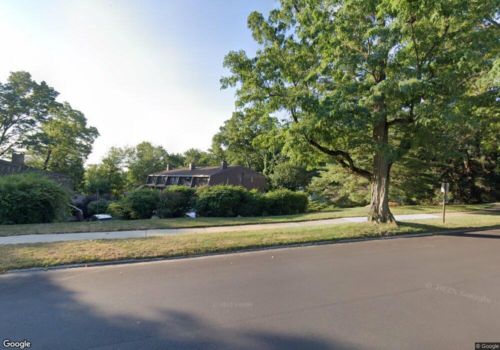
129 Knapps Hwy Fairfield, CT 06825
Tunxis Hill NeighborhoodEstimated Value: $342,000 - $457,000
2
Beds
2
Baths
1,372
Sq Ft
$292/Sq Ft
Est. Value
About This Home
This home is located at 129 Knapps Hwy, Fairfield, CT 06825 and is currently estimated at $400,299, approximately $291 per square foot. 129 Knapps Hwy is a home located in Fairfield County with nearby schools including Mckinley Elementary School, Tomlinson Middle School, and Fairfield Warde High School.
Ownership History
Date
Name
Owned For
Owner Type
Purchase Details
Closed on
Mar 16, 2020
Sold by
Borgatti Carl
Bought by
Fisher Kitti
Current Estimated Value
Purchase Details
Closed on
Jul 1, 2005
Sold by
Riordan Laura C Est
Bought by
Ganchou Allison
Home Financials for this Owner
Home Financials are based on the most recent Mortgage that was taken out on this home.
Original Mortgage
$232,000
Interest Rate
5.73%
Purchase Details
Closed on
Mar 31, 1999
Sold by
Oppenheimer Marcia
Bought by
Riordan Laura C
Create a Home Valuation Report for This Property
The Home Valuation Report is an in-depth analysis detailing your home's value as well as a comparison with similar homes in the area
Home Values in the Area
Average Home Value in this Area
Purchase History
| Date | Buyer | Sale Price | Title Company |
|---|---|---|---|
| Fisher Kitti | -- | None Available | |
| Fisher Kitti | -- | None Available | |
| Ganchou Allison | $290,000 | -- | |
| Ganchou Allison | $290,000 | -- | |
| Riordan Laura C | $147,000 | -- | |
| Riordan Laura C | $147,000 | -- |
Source: Public Records
Mortgage History
| Date | Status | Borrower | Loan Amount |
|---|---|---|---|
| Previous Owner | Riordan Laura C | $185,625 | |
| Previous Owner | Riordan Laura C | $232,000 | |
| Previous Owner | Riordan Laura C | $135,300 |
Source: Public Records
Tax History Compared to Growth
Tax History
| Year | Tax Paid | Tax Assessment Tax Assessment Total Assessment is a certain percentage of the fair market value that is determined by local assessors to be the total taxable value of land and additions on the property. | Land | Improvement |
|---|---|---|---|---|
| 2025 | $4,074 | $143,500 | $0 | $143,500 |
| 2024 | $4,004 | $143,500 | $0 | $143,500 |
| 2023 | $3,948 | $143,500 | $0 | $143,500 |
| 2022 | $3,909 | $143,500 | $0 | $143,500 |
| 2021 | $3,872 | $143,500 | $0 | $143,500 |
| 2020 | $3,771 | $140,770 | $0 | $140,770 |
| 2019 | $3,771 | $140,770 | $0 | $140,770 |
| 2018 | $3,711 | $140,770 | $0 | $140,770 |
| 2017 | $3,635 | $140,770 | $0 | $140,770 |
| 2016 | $3,583 | $140,770 | $0 | $140,770 |
| 2015 | $4,038 | $162,890 | $0 | $162,890 |
| 2014 | $3,975 | $162,890 | $0 | $162,890 |
Source: Public Records
Map
Nearby Homes
- 42 Fairway Green
- 279 Knapps Hwy
- 90 White Oak Rd
- 376 Knapps Hwy
- 183 Vesper St
- 197 Vesper St
- 709 Tunxis Hill Rd
- 62 Soundview Ave
- 101 Soundview Ave
- 108 Roseville St
- 605 Brooklawn Ave
- 8 Nelson Place
- 155 Moody Ave
- 89 Grace St
- 366 Brooklawn Ave
- 2660 North Ave Unit 217
- 1473 Wood Ave
- 180 Oakwood Dr
- 80 Cartright St Unit 5D
- 80 Cartright St Unit 8J
- 129 Knapps Hwy Unit 129
- 131 Knapps Hwy
- 121 Knapps Hwy
- 133 Knapps Hwy
- 123 Knapps Hwy
- 125 Knapps Hwy
- 135 Knapps Hwy
- 137 Knapps Hwy
- 127 Knapps Hwy
- 127 Knapps Hwy Unit 127
- 141 Knapps Hwy
- 141 Knapps Hwy Unit 141
- 143 Knapps Hwy
- 143 Knapps Hwy Unit 143
- 145 Knapps Hwy
- 149 Knapps Hwy
- 149 Knapps Hwy Unit 149
- 147 Knapps Hwy
- 147 Knapps Hwy Unit 147
- 151 Knapps Hwy