129 Lonesome Dove Rd Calhoun, LA 71225
Estimated Value: $303,000 - $371,000
4
Beds
3
Baths
2,176
Sq Ft
$151/Sq Ft
Est. Value
About This Home
This home is located at 129 Lonesome Dove Rd, Calhoun, LA 71225 and is currently estimated at $329,163, approximately $151 per square foot. 129 Lonesome Dove Rd is a home located in Ouachita Parish with nearby schools including Drew Elementary School and West Monroe High School.
Ownership History
Date
Name
Owned For
Owner Type
Purchase Details
Closed on
Feb 23, 2007
Sold by
Rodgers Tammy Brantley
Bought by
Rodgers Michael Dwain and Rodgers Tammy Brantley
Current Estimated Value
Home Financials for this Owner
Home Financials are based on the most recent Mortgage that was taken out on this home.
Original Mortgage
$195,800
Interest Rate
6.21%
Mortgage Type
New Conventional
Create a Home Valuation Report for This Property
The Home Valuation Report is an in-depth analysis detailing your home's value as well as a comparison with similar homes in the area
Home Values in the Area
Average Home Value in this Area
Purchase History
| Date | Buyer | Sale Price | Title Company |
|---|---|---|---|
| Rodgers Michael Dwain | -- | None Available |
Source: Public Records
Mortgage History
| Date | Status | Borrower | Loan Amount |
|---|---|---|---|
| Closed | Rodgers Michael Dwain | $195,800 |
Source: Public Records
Tax History Compared to Growth
Tax History
| Year | Tax Paid | Tax Assessment Tax Assessment Total Assessment is a certain percentage of the fair market value that is determined by local assessors to be the total taxable value of land and additions on the property. | Land | Improvement |
|---|---|---|---|---|
| 2024 | $1,132 | $18,422 | $450 | $17,972 |
| 2023 | $1,132 | $18,422 | $450 | $17,972 |
| 2022 | $1,755 | $18,422 | $450 | $17,972 |
| 2021 | $1,777 | $19,777 | $450 | $19,327 |
| 2020 | $1,779 | $19,806 | $450 | $19,356 |
| 2019 | $1,633 | $18,235 | $450 | $17,785 |
| 2018 | $961 | $18,235 | $450 | $17,785 |
| 2017 | $1,633 | $18,235 | $450 | $17,785 |
| 2016 | $1,633 | $18,234 | $449 | $17,785 |
| 2015 | $959 | $18,234 | $449 | $17,785 |
| 2014 | $959 | $18,234 | $449 | $17,785 |
| 2013 | $956 | $18,234 | $449 | $17,785 |
Source: Public Records
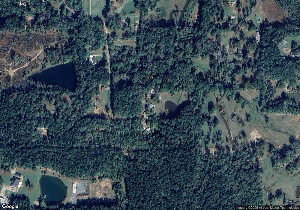
Map
Nearby Homes
- 0 (A) Carter Rd
- 0 (B) Carter Rd
- 000 C Carter Rd
- 3235 Highway 15
- 3375 Highway 15
- 201 Glen Acres Rd
- 257 Sugarloaf Dr
- 000 J T Griggs Rd Unit 454 J T Griggs Road
- 00 J T Griggs Rd Unit 454 J T Griggs Road
- 454 J T Griggs Rd
- 0 J T Griggs Rd Unit 454 J T Griggs Road
- 159 Chapel Ln
- 171 Chimney Hill Rd
- 158 Rex Robertson Rd
- 205 Chapel Hill Place
- 000 Strozier Rd
- 0 Laguna Villas Dr
- 3 Wilson - Turner Ln
- 138 Mangum Ln
- 108 Comanche Trail
- 110 Lonesome Dove Rd
- 221 Sambo Nelson Rd
- 615 Old Arkansas Rd E
- 130 Lonesome Dove Rd
- 604 Old Arkansas Rd E
- Lot 1 & 2 Sambo Nelson Rd
- Lot 2 Sambo Nelson Rd
- Lot 1 Sambo Nelson Rd
- 183 Sambo Nelson Rd
- 3177 Highway 15
- 272 Mccormick Rd
- 335 Ritter Rd
- 605 Old Arkansas Rd E
- 532 Old Arkansas Rd E
- 344 John Kent Rd
- 156 Sambo Nelson Rd
- 235 Mccormick Ln
- 520 Old Arkansas Rd E
- 322 John Kent Rd
- 196 Carter Rd