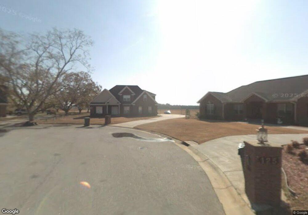
129 Luke Dr Macon, GA 31216
Estimated Value: $328,000 - $366,000
4
Beds
3
Baths
2,218
Sq Ft
$153/Sq Ft
Est. Value
About This Home
This home is located at 129 Luke Dr, Macon, GA 31216 and is currently estimated at $340,215, approximately $153 per square foot. 129 Luke Dr is a home located in Bibb County with nearby schools including Heard Elementary School, Rutland Middle School, and Rutland High School.
Ownership History
Date
Name
Owned For
Owner Type
Purchase Details
Closed on
Mar 21, 2005
Sold by
Cmb Properties Llc
Bought by
Sneed Derrick
Current Estimated Value
Home Financials for this Owner
Home Financials are based on the most recent Mortgage that was taken out on this home.
Original Mortgage
$167,200
Outstanding Balance
$84,929
Interest Rate
5.74%
Mortgage Type
Adjustable Rate Mortgage/ARM
Estimated Equity
$255,286
Purchase Details
Closed on
Mar 9, 2004
Purchase Details
Closed on
Dec 17, 2003
Create a Home Valuation Report for This Property
The Home Valuation Report is an in-depth analysis detailing your home's value as well as a comparison with similar homes in the area
Home Values in the Area
Average Home Value in this Area
Purchase History
| Date | Buyer | Sale Price | Title Company |
|---|---|---|---|
| Sneed Derrick | $209,000 | None Available | |
| -- | -- | -- | |
| -- | $28,500 | -- |
Source: Public Records
Mortgage History
| Date | Status | Borrower | Loan Amount |
|---|---|---|---|
| Open | Sneed Derrick | $167,200 |
Source: Public Records
Tax History Compared to Growth
Tax History
| Year | Tax Paid | Tax Assessment Tax Assessment Total Assessment is a certain percentage of the fair market value that is determined by local assessors to be the total taxable value of land and additions on the property. | Land | Improvement |
|---|---|---|---|---|
| 2025 | $3,210 | $137,631 | $18,000 | $119,631 |
| 2024 | $3,052 | $127,154 | $18,000 | $109,154 |
| 2023 | $2,223 | $112,543 | $18,000 | $94,543 |
| 2022 | $3,020 | $94,242 | $15,960 | $78,282 |
| 2021 | $2,682 | $77,574 | $12,600 | $64,974 |
| 2020 | $2,740 | $77,574 | $12,600 | $64,974 |
| 2019 | $2,518 | $71,312 | $12,600 | $58,712 |
| 2018 | $4,035 | $71,312 | $12,600 | $58,712 |
| 2017 | $2,263 | $67,398 | $12,600 | $54,798 |
| 2016 | $2,090 | $67,398 | $12,600 | $54,798 |
| 2015 | $2,958 | $67,398 | $12,600 | $54,798 |
| 2014 | $3,824 | $84,950 | $15,120 | $69,830 |
Source: Public Records
Map
Nearby Homes
- 436 Joseph Chandler Dr
- 428 Bob White Rd
- 411 Bob White Rd
- 465 Bob White Rd
- 408 Resting Fawn Place
- DUPONT Plan at Quail Ridge
- GARDNER Plan at Quail Ridge
- KINGSTON Plan at Quail Ridge
- ESSEX Plan at Quail Ridge
- 708 Coopers Lnd
- 102 Haylie Ct
- 104 Alayna Ct
- 330 Cody Dr
- 328 Cody Dr
- Jodeco Plan at Goodall Woods
- Sierra Plan at Goodall Woods
- Poplar Plan at Goodall Woods
- Russell Plan at Goodall Woods
- Clayton Plan at Goodall Woods
- 108 Alayna Ct
- 125 Luke Dr
- 126 Luke Dr
- 121 Luke Dr
- 124 Luke Dr
- 120 Luke Dr
- 117 Luke Dr
- 116 Luke Dr
- 113 Luke Dr
- 432 Joseph Chandler Dr
- 444 Joseph Chandler Dr
- 109 Luke Dr
- 428 Joseph Chandler Dr
- 424 Joseph Chandler Dr
- 448 Joseph Chandler Dr
- 420 Joseph Chandler Dr
- 0 Joseph Chandler Dr Unit 8136596
- 0 Joseph Chandler Dr Unit 8441700
- 0 Joseph Chandler Dr Unit 7064210
- 0 Joseph Chandler Dr
- 105 Luke Dr