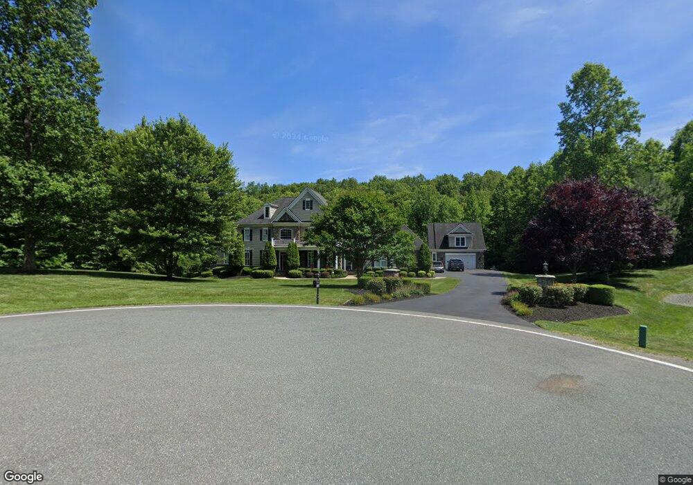
129 Lupine Dr Stafford, VA 22556
Estimated Value: $1,296,000 - $2,255,000
4
Beds
6
Baths
5,379
Sq Ft
$307/Sq Ft
Est. Value
About This Home
This home is located at 129 Lupine Dr, Stafford, VA 22556 and is currently estimated at $1,653,022, approximately $307 per square foot. 129 Lupine Dr is a home located in Stafford County with nearby schools including Margaret Brent Elementary School, Rodney E. Thompson Middle School, and Mountain View High School.
Ownership History
Date
Name
Owned For
Owner Type
Purchase Details
Closed on
Apr 24, 2008
Sold by
Augustine Homes Llc
Bought by
Gran David
Current Estimated Value
Home Financials for this Owner
Home Financials are based on the most recent Mortgage that was taken out on this home.
Original Mortgage
$784,000
Outstanding Balance
$495,595
Interest Rate
5.93%
Mortgage Type
New Conventional
Estimated Equity
$1,157,427
Create a Home Valuation Report for This Property
The Home Valuation Report is an in-depth analysis detailing your home's value as well as a comparison with similar homes in the area
Home Values in the Area
Average Home Value in this Area
Purchase History
| Date | Buyer | Sale Price | Title Company |
|---|---|---|---|
| Gran David | $1,200,000 | -- |
Source: Public Records
Mortgage History
| Date | Status | Borrower | Loan Amount |
|---|---|---|---|
| Open | Gran David | $784,000 |
Source: Public Records
Tax History Compared to Growth
Tax History
| Year | Tax Paid | Tax Assessment Tax Assessment Total Assessment is a certain percentage of the fair market value that is determined by local assessors to be the total taxable value of land and additions on the property. | Land | Improvement |
|---|---|---|---|---|
| 2025 | $11,274 | $1,243,400 | $275,000 | $968,400 |
| 2024 | $11,274 | $1,243,400 | $275,000 | $968,400 |
| 2023 | $10,671 | $1,129,200 | $220,000 | $909,200 |
| 2022 | $9,598 | $1,129,200 | $220,000 | $909,200 |
| 2021 | $8,550 | $881,400 | $160,000 | $721,400 |
| 2020 | $8,550 | $881,400 | $160,000 | $721,400 |
| 2019 | $8,542 | $845,700 | $140,000 | $705,700 |
| 2018 | $8,372 | $845,700 | $140,000 | $705,700 |
| 2017 | $9,144 | $923,600 | $140,000 | $783,600 |
| 2016 | $9,144 | $923,600 | $140,000 | $783,600 |
| 2015 | -- | $977,500 | $140,000 | $837,500 |
| 2014 | -- | $977,500 | $140,000 | $837,500 |
Source: Public Records
Map
Nearby Homes
- 51 Maidenhair Way
- 78 Madeline Ln
- 123 Arden Ln
- 80 Snapdragon Dr
- 315 Mount Olive Rd
- Somerset Plan at Colebrook Estates
- The Jefferson Plan at Colebrook Estates
- Cleveland Plan at Colebrook Estates
- Truman Plan at Colebrook Estates
- 101 Hillsdale Dr
- Birmingham Plan at Colebrook Estates
- 260 Chriswood Ln
- 60 Snapdragon Dr
- 770 Poplar Rd
- 14 Cranston Ln
- 2 Snapdragon Dr
- 185 Dolittle Farm Rd
- 531 Kellogg Mill Rd
- 5 Small Bear Ct
- 580 Kellogg Mill Rd
- 130 Lupine Dr
- 115 Lupine Dr
- 118 Lupine Dr
- 111 Lupine Dr
- 107 Lupine Dr
- 108 Lupine Dr
- 112 Lupine Dr
- 60 Maidenhair Way
- 99 Lupine Dr
- 89 Lupine Dr
- 255 Lakeland Rd
- 25 Millstone Dr
- 90 Lupine Dr
- 100 Lupine Dr
- 46 Maidenhair Way
- 83 Lupine Dr
- 234 Arden Ln
- 0 Millstone at the Glens Unit 1009276550
- 0 Millstone at the Glens Unit 1009214610
- 0 Millstone at the Glens Unit 1008834758