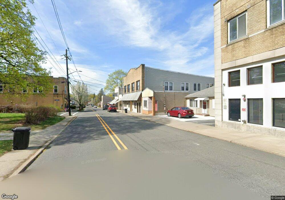
129 Main St Unit 1 Franklin, NJ 07416
Estimated Value: $430,334
Studio
--
Bath
7,800
Sq Ft
$55/Sq Ft
Est. Value
About This Home
This home is located at 129 Main St Unit 1, Franklin, NJ 07416 and is currently estimated at $430,334, approximately $55 per square foot. 129 Main St Unit 1 is a home located in Sussex County with nearby schools including Franklin Elementary School, Wallkill Valley Regional High School, and Immaculate Conception Regional School.
Ownership History
Date
Name
Owned For
Owner Type
Purchase Details
Closed on
Jan 12, 2022
Sold by
Hannigan John J
Bought by
127 Main Street Nj Inc
Current Estimated Value
Home Financials for this Owner
Home Financials are based on the most recent Mortgage that was taken out on this home.
Original Mortgage
$250,000
Interest Rate
3.55%
Mortgage Type
New Conventional
Create a Home Valuation Report for This Property
The Home Valuation Report is an in-depth analysis detailing your home's value as well as a comparison with similar homes in the area
Home Values in the Area
Average Home Value in this Area
Purchase History
| Date | Buyer | Sale Price | Title Company |
|---|---|---|---|
| 127 Main Street Nj Inc | $325,000 | Reliant Title |
Source: Public Records
Mortgage History
| Date | Status | Borrower | Loan Amount |
|---|---|---|---|
| Previous Owner | 127 Main Street Nj Inc | $250,000 |
Source: Public Records
Tax History
| Year | Tax Paid | Tax Assessment Tax Assessment Total Assessment is a certain percentage of the fair market value that is determined by local assessors to be the total taxable value of land and additions on the property. | Land | Improvement |
|---|---|---|---|---|
| 2025 | $13,477 | $523,200 | $85,800 | $437,400 |
| 2024 | $13,658 | $507,800 | $85,800 | $422,000 |
Source: Public Records
Map
Nearby Homes
- 52 High St
- 62 High St
- 66 Nestor St
- 112 Scott Rd
- 26 Wyker Rd Unit A
- 19 John Wilton St Unit 21
- 65 Buckwheat Rd
- 35 Liberty Ln Unit Y2
- 20 High Point CI
- 63 Liberty Ln Unit 7
- 580 State Rt 23
- 140 Wheatsworth Rd
- 17 Emerald Dr
- 149 Maple Rd
- 18 Emerald Dr
- 7 Emerald Dr
- 6 Mulberry St
- 212 New Jersey 23
- 142 Wheatsworth Rd
- 172 Maple Rd
- 129 Main St
- 131 Main St Unit A
- 131 Main St
- 123 Main St Unit B 1st Floor
- 123 Main St
- 133 Main St
- 133 Main St Unit 1
- 126-128 Main St
- 126 Main St
- 126 Main St Unit B
- 126 Main St Unit E
- 130 Main St
- 132 Main St
- 121 Main St
- 6 Sterling St
- 10 Sterling St
- 134 Main St
- 4 Sterling St
- 120 Main St
- 120 Main St Unit 2
Your Personal Tour Guide
Ask me questions while you tour the home.