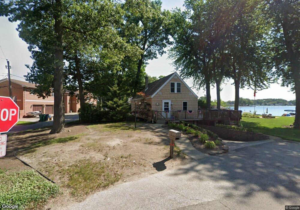
129 Maple Dr La Porte, IN 46350
Estimated Value: $432,808 - $644,000
2
Beds
1
Bath
1,596
Sq Ft
$324/Sq Ft
Est. Value
About This Home
This home is located at 129 Maple Dr, La Porte, IN 46350 and is currently estimated at $516,452, approximately $323 per square foot. 129 Maple Dr is a home located in LaPorte County with nearby schools including F. Willard Crichfield Elementary School, La Porte High School, and Kesling Intermediate School.
Ownership History
Date
Name
Owned For
Owner Type
Purchase Details
Closed on
Nov 20, 2009
Sold by
Applegarth S Renee and Applegarth William G
Bought by
Mulrenin John Terrance and Mulrenin Kathleen Ann
Current Estimated Value
Home Financials for this Owner
Home Financials are based on the most recent Mortgage that was taken out on this home.
Original Mortgage
$240,000
Outstanding Balance
$155,199
Interest Rate
5.05%
Mortgage Type
New Conventional
Estimated Equity
$361,253
Create a Home Valuation Report for This Property
The Home Valuation Report is an in-depth analysis detailing your home's value as well as a comparison with similar homes in the area
Home Values in the Area
Average Home Value in this Area
Purchase History
| Date | Buyer | Sale Price | Title Company |
|---|---|---|---|
| Mulrenin John Terrance | -- | Meridian Title Corp |
Source: Public Records
Mortgage History
| Date | Status | Borrower | Loan Amount |
|---|---|---|---|
| Open | Mulrenin John Terrance | $240,000 |
Source: Public Records
Tax History
| Year | Tax Paid | Tax Assessment Tax Assessment Total Assessment is a certain percentage of the fair market value that is determined by local assessors to be the total taxable value of land and additions on the property. | Land | Improvement |
|---|---|---|---|---|
| 2025 | $5,696 | $308,900 | $182,700 | $126,200 |
| 2024 | $5,854 | $300,500 | $182,700 | $117,800 |
| 2022 | $5,609 | $288,400 | $182,700 | $105,700 |
| 2021 | $5,579 | $279,800 | $182,700 | $97,100 |
| 2020 | $5,209 | $279,800 | $182,700 | $97,100 |
| 2019 | $5,240 | $269,000 | $182,700 | $86,300 |
| 2018 | $5,284 | $266,000 | $192,500 | $73,500 |
| 2017 | $5,005 | $264,100 | $192,500 | $71,600 |
| 2016 | $4,219 | $233,800 | $156,800 | $77,000 |
| 2014 | $2,153 | $228,200 | $156,800 | $71,400 |
Source: Public Records
Map
Nearby Homes
- 54 Dogwood Dr
- 3069 N Morning Glory Ave
- 3067 N Morning Glory Ave
- 3979 S Tomahawk Cir
- 0 W Lot 81 Concord Dr Unit NRA809376
- 0 W 450 St N Unit NRA827579
- 842-Lot 59 W Broken Arrow Dr
- 1055 W Scipio Dr
- 0 N Us Hwy 35 Unit NRA809471
- 6877 N Nature Ln
- 0 W Lot 38 Malaga Dr Unit NRA809384
- 6850 N Nature Ln
- 225 Holton Rd
- 512 Hill St
- 306 Outlook Cove Dr
- 206 Outlook Cove Dr
- 39 N Shore Dr
- 683 Waverly Rd
- 195 W Mcclung Rd
- 401 Rockwood St