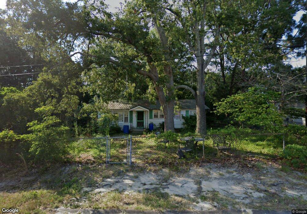
129 Maple St Rockingham, NC 28379
Estimated Value: $50,000 - $65,000
--
Bed
--
Bath
784
Sq Ft
$72/Sq Ft
Est. Value
About This Home
This home is located at 129 Maple St, Rockingham, NC 28379 and is currently estimated at $56,234, approximately $71 per square foot. 129 Maple St is a home with nearby schools including Ashley Chapel Educational Center, Cordova Middle School, and Richmond Senior High School.
Ownership History
Date
Name
Owned For
Owner Type
Purchase Details
Closed on
Aug 12, 1987
Bought by
Parker John D
Current Estimated Value
Create a Home Valuation Report for This Property
The Home Valuation Report is an in-depth analysis detailing your home's value as well as a comparison with similar homes in the area
Home Values in the Area
Average Home Value in this Area
Purchase History
| Date | Buyer | Sale Price | Title Company |
|---|---|---|---|
| Parker John D | -- | -- |
Source: Public Records
Tax History Compared to Growth
Tax History
| Year | Tax Paid | Tax Assessment Tax Assessment Total Assessment is a certain percentage of the fair market value that is determined by local assessors to be the total taxable value of land and additions on the property. | Land | Improvement |
|---|---|---|---|---|
| 2025 | $572 | $47,230 | $6,243 | $40,987 |
| 2024 | $581 | $47,230 | $6,243 | $40,987 |
| 2023 | $543 | $39,609 | $4,983 | $34,626 |
| 2022 | $543 | $39,609 | $4,983 | $34,626 |
| 2021 | $539 | $39,609 | $4,983 | $34,626 |
| 2020 | $535 | $39,609 | $4,983 | $34,626 |
| 2019 | $535 | $39,609 | $4,983 | $34,626 |
| 2018 | $535 | $39,609 | $4,983 | $34,626 |
| 2016 | $516 | $39,609 | $4,983 | $34,626 |
| 2014 | -- | $37,344 | $4,985 | $32,359 |
Source: Public Records
Map
Nearby Homes
- 160 Patterson St
- 136 Central Ave
- 118 Grant St
- 117 Smith St
- 109 Entwistle Third St
- 137 Safie Sixth St
- 0 Sandhill Rd
- 106 Safie 3rd St
- 0 Seventh Avenue Aleo
- 168 Morrow St
- 155 Chestnut Ln
- 106 Pence St
- 128 Watkins Ave
- 171 Broadway St
- 128 Dawkins St
- 232 Aleo Seventh Ave
- 179 Aleo Second Ave
- 294 Mizpah Rd
- 114 Lakeview Trail
- 213 Airport Rd