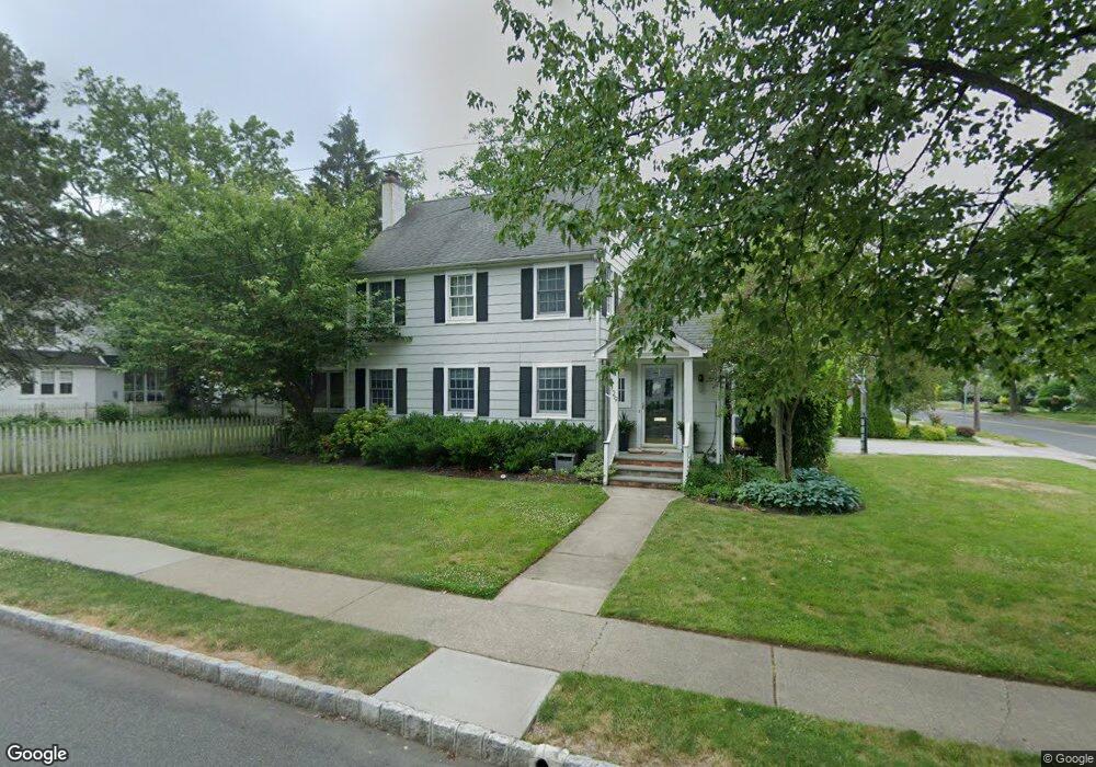
129 Maple St Summit, NJ 07901
Estimated Value: $1,333,185 - $2,204,000
Studio
--
Bath
2,249
Sq Ft
$786/Sq Ft
Est. Value
About This Home
This home is located at 129 Maple St, Summit, NJ 07901 and is currently estimated at $1,767,296, approximately $785 per square foot. 129 Maple St is a home located in Union County with nearby schools including L C Johnson Summit Middle School, Summit Sr High School, and Oak Knoll School of the Holy Child.
Ownership History
Date
Name
Owned For
Owner Type
Purchase Details
Closed on
Dec 1, 2004
Sold by
Prudential Residential
Bought by
Mcginn Patrick and Mcginn Chrisitne
Current Estimated Value
Home Financials for this Owner
Home Financials are based on the most recent Mortgage that was taken out on this home.
Original Mortgage
$468,000
Outstanding Balance
$234,375
Interest Rate
5.73%
Estimated Equity
$1,532,921
Purchase Details
Closed on
Sep 18, 2004
Sold by
Leonards Kenneth
Bought by
Prudential Residential
Create a Home Valuation Report for This Property
The Home Valuation Report is an in-depth analysis detailing your home's value as well as a comparison with similar homes in the area
Home Values in the Area
Average Home Value in this Area
Purchase History
| Date | Buyer | Sale Price | Title Company |
|---|---|---|---|
| Mcginn Patrick | $793,000 | -- | |
| Prudential Residential | $793,000 | -- |
Source: Public Records
Mortgage History
| Date | Status | Borrower | Loan Amount |
|---|---|---|---|
| Open | Mcginn Patrick | $468,000 |
Source: Public Records
Tax History
| Year | Tax Paid | Tax Assessment Tax Assessment Total Assessment is a certain percentage of the fair market value that is determined by local assessors to be the total taxable value of land and additions on the property. | Land | Improvement |
|---|---|---|---|---|
| 2025 | $15,926 | $365,600 | $211,600 | $154,000 |
| 2024 | $15,820 | $365,600 | $211,600 | $154,000 |
| 2023 | $15,820 | $365,600 | $211,600 | $154,000 |
| 2022 | $15,659 | $365,600 | $211,600 | $154,000 |
| 2021 | $15,783 | $365,600 | $211,600 | $154,000 |
| 2020 | $15,940 | $365,600 | $211,600 | $154,000 |
| 2019 | $15,958 | $365,600 | $211,600 | $154,000 |
| 2018 | $15,856 | $365,600 | $211,600 | $154,000 |
| 2017 | $15,958 | $365,600 | $211,600 | $154,000 |
| 2016 | $15,724 | $365,600 | $211,600 | $154,000 |
| 2015 | $15,417 | $365,600 | $211,600 | $154,000 |
| 2014 | $15,019 | $365,600 | $211,600 | $154,000 |
Source: Public Records
Map
Nearby Homes
- 64 Tulip St
- 67 Tulip St
- 61 Tulip St
- 69 Elm St
- 40 Prospect St
- 105 Larned Rd
- 80 Glenside Ave
- 4 Parkview Terrace
- 28 Glenside Ave
- 1 Baltusrol Place
- 1 Irving Place
- 4 Denman Place
- 24 Franklin Place
- 226 Mountain Ave
- 133 Morris Ave
- 133 Summit Ave Unit 16A
- 107 Kent Place Blvd
- 14 Euclid Ave Unit 102
- 49 Norwood Ave
- 23 Euclid Ave
Your Personal Tour Guide
Ask me questions while you tour the home.